Saddleback Butte State Park: Little Butte Trail
Saddleback Butte State Park is the often-overlooked park on the west edge of the Mojave Desert, east of Lancaster. This state park was created in 1960 to protect the butte and the plants and animals that live in this barren desert. I arrived early on a June morning and set out to hike to the top of the butte before the early summer heat set in. Here is all the information.
Details
- $6 dollar fee for parking
- The hike is 4 miles round trip with 1,000 feet of elevation gain and loss
- Make sure to bring lots of water as the summer sun here is brutal
- I wrote this post in 2014
- Location: 17102 E Ave. J, Lancaster, CA 93535
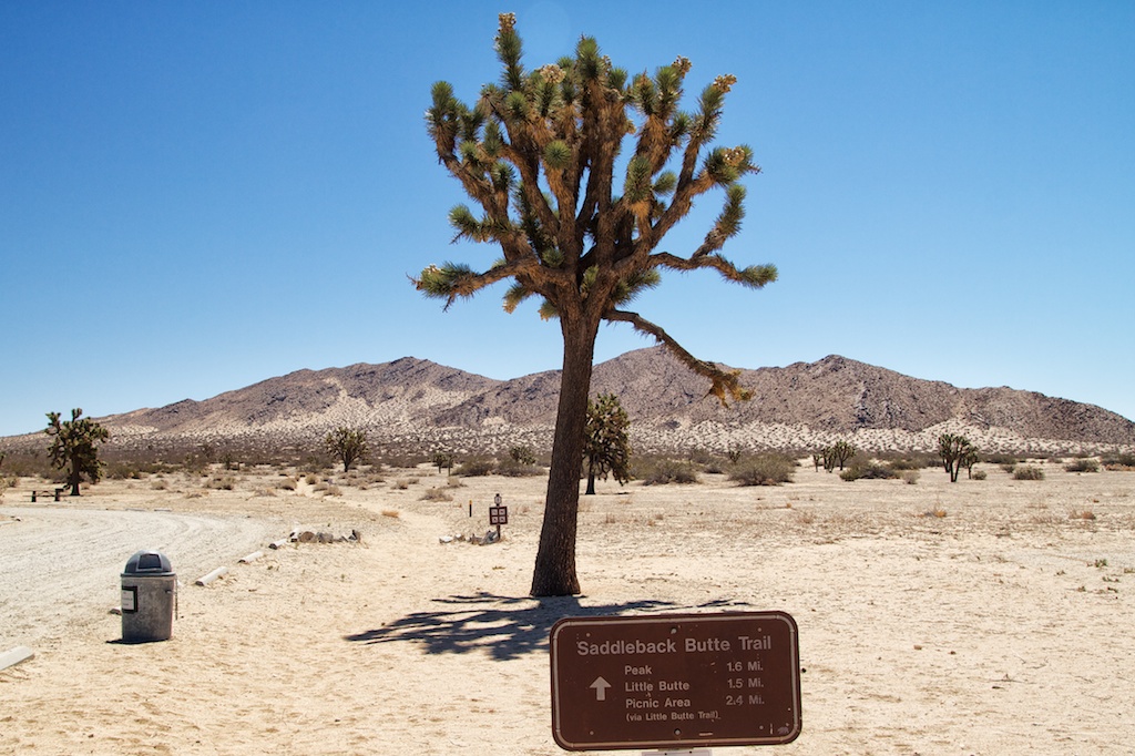
Little Butte Trail
The trail starts right in the camping area with a small parking lot for day hikers. There is a bathroom here and the trailhead is hard to miss as there is not a lot else there.
From here, you walk along the sand for about a mile at a slight uphill before walking through a fence and getting to the base of the butte and to the start of the elevation gain. The path is straightforward to follow as stakes are showing the way, and you simply follow them along.
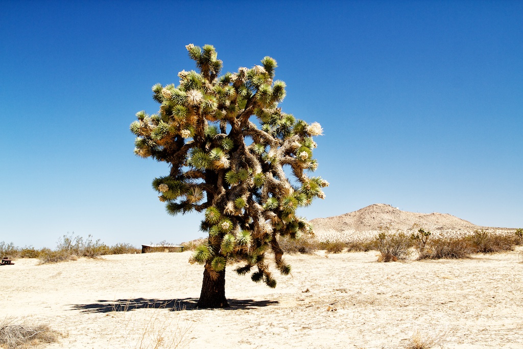
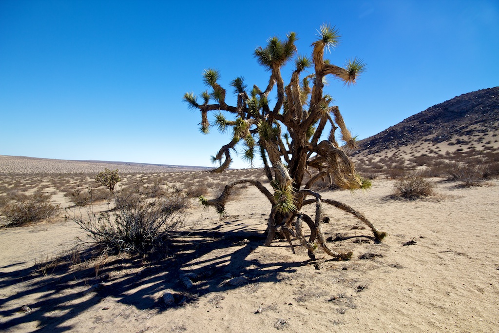
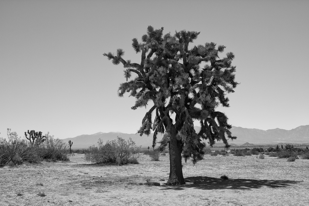
I took my time walking to the base as I kept photographing the Joshua Trees, which are a beautiful thing to see in such a stark landscape.
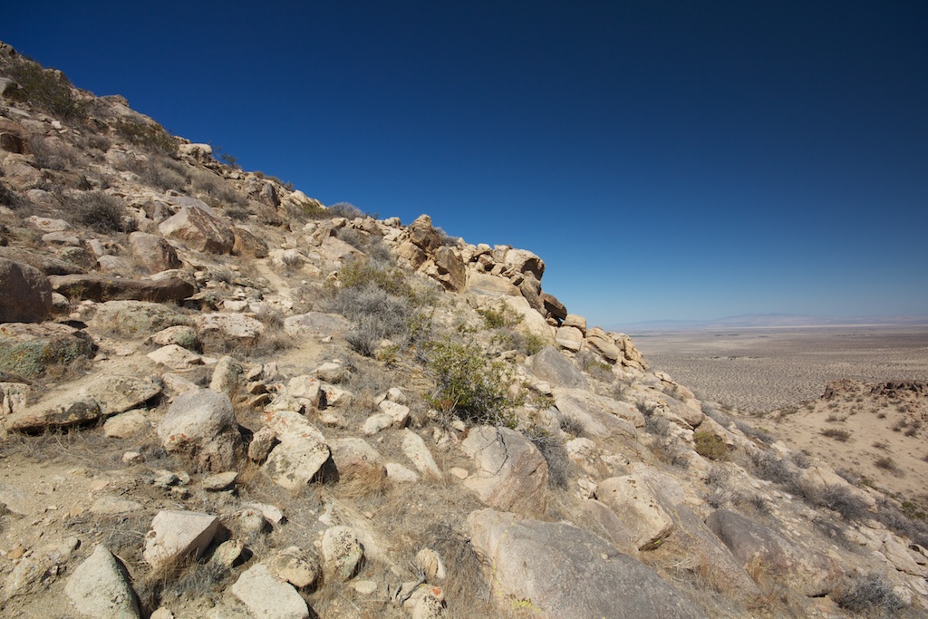
For the next half mile you are climbing straight up, and while it is not super hard, the sand does not give you much to hold onto so it can be challenging to navigate.

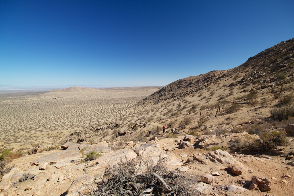
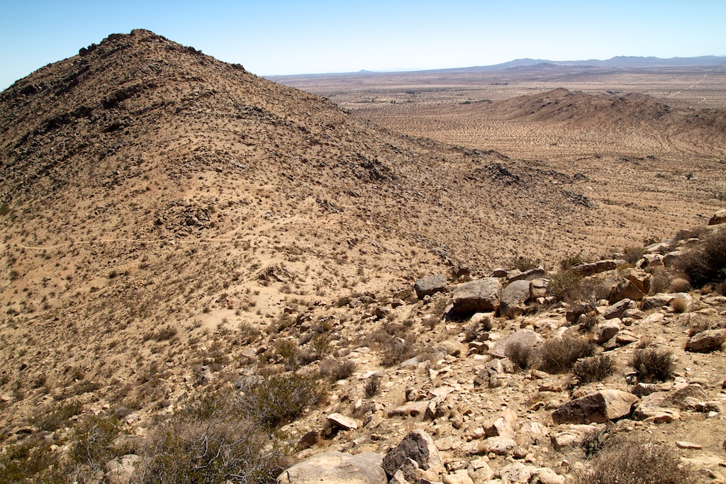
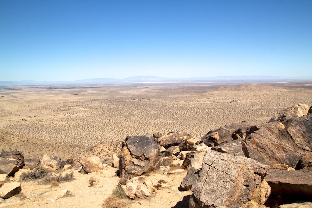
When you reach the saddle, you are rewarded with great views of the surrounding desert and have the option to pick which of the buttes you would like to climb.
Honestly, I am not sure which is the highest, and I didn’t research that before coming, so I picked the one that looked like it was where the trail went and headed up that one.
About halfway up the steep incline, the trail pretty much disappeared, so I just continued to head up and eventually hit the summit.
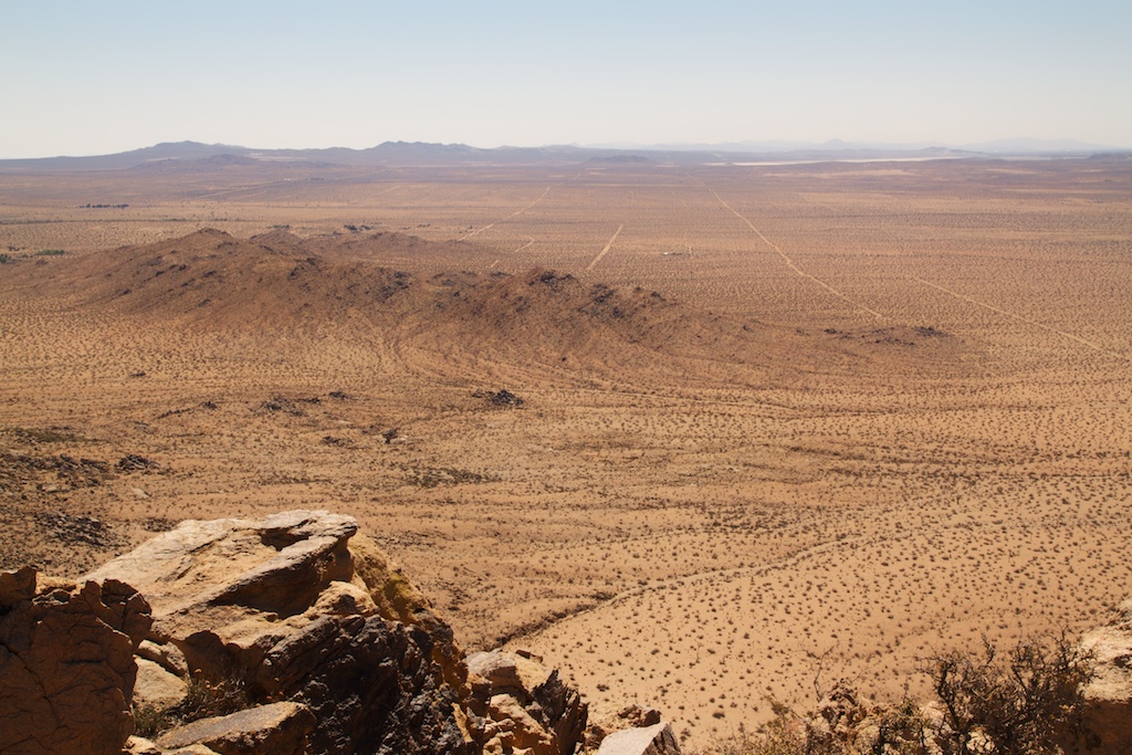
There was no summit log or anything, but there were a bunch of rocks to rest on and an amazing 360-degree view of the desert below.
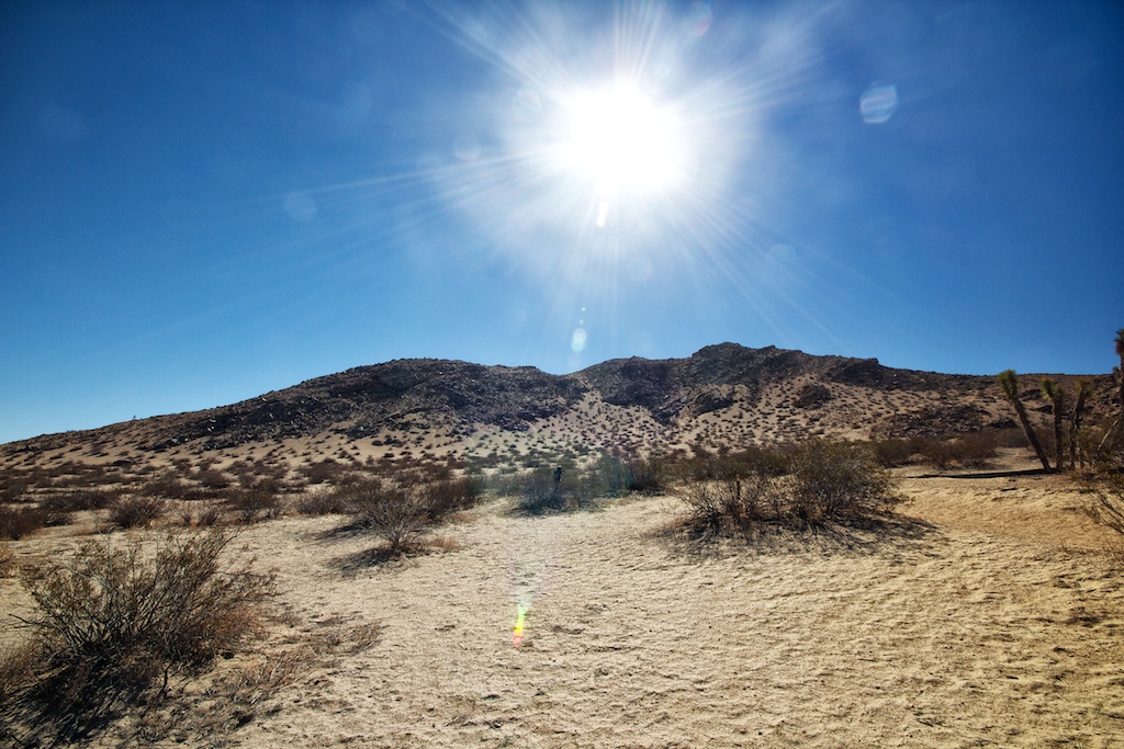
Even though it was super hot on this June day, the views from the summit were a fantastic reward, since there was so little blocking your view, it felt as if you could see forever.
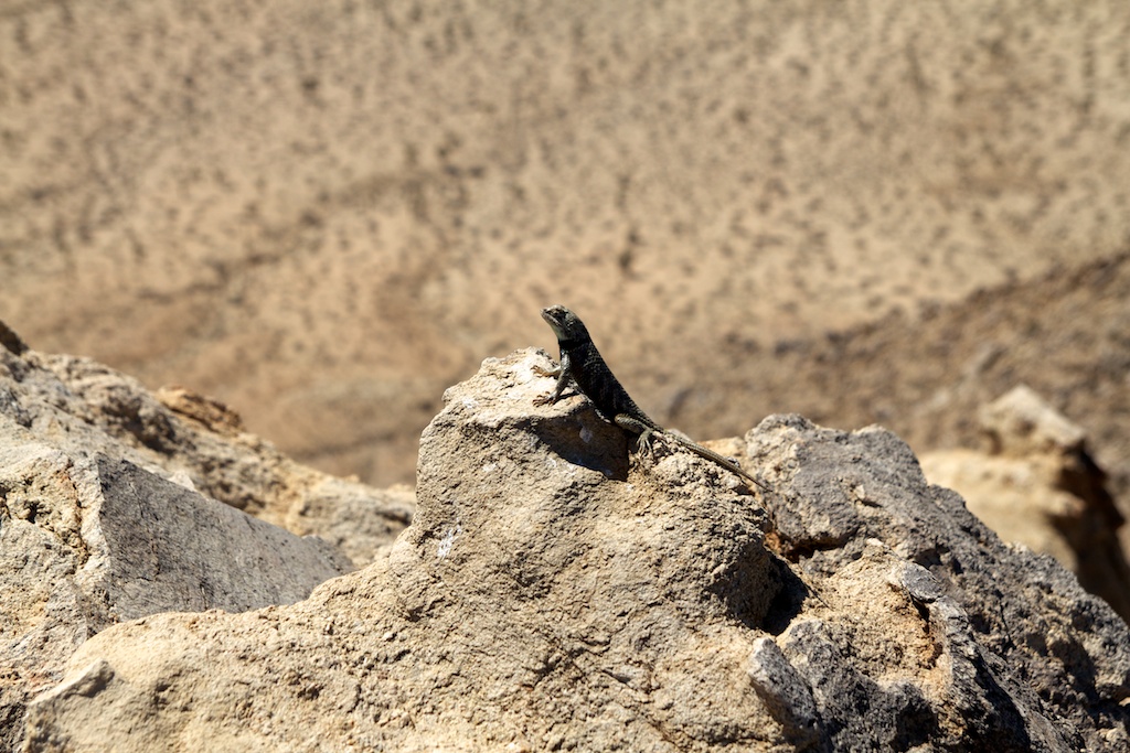
There was even a lizard up there enjoying the view.
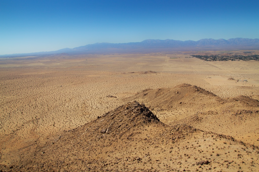
In this picture, you can make out the parking lot on the left-hand side, which shows how far we have come.
After relaxing for a while, we headed back down the way we came, slowly though, as it is harder to navigate the sand on the way down without slipping and sliding.
While I wouldn’t go all the way out here just for this hike, it was a nice state park with some beautiful summit views. If you head out this way, I would pair it with the Antelope Valley Indian Museum State Historic Park or a drive down Route 66 as you can easily make a full day out of your desert adventures.
Let me know if you have been in the comments and check out this video I made on the hike below.
Hike Video
Get Directions