Backpacking to Glen Aulin from Tuolumne Meadows in Yosemite National Park
Yosemite National Park is known all over the world for its stunning granite domes and waterfalls. What many people don’t know though, is that the easy to access part of the park is only 5% of the total park. To truly experience its beauty, you need to get out into the backcountry and start to see the other 95% that most people don’t. One approachable way to do that is backpacking to Glen Aulin, and luckily CampfireChic invited my wife and me on her backpacking trip there. This post will give you all the information so you can do it yourself.
Details
- 12 miles round trip
- 800 feet of elevation
- Solar composting toilets and drinking water at the camp
- Must get a permit to camp which books far in advance
- This information is from my hike in 2016
- Read about all my favorite spots in Yosemite National Park here
Permits
Permits are generally available up to 24 weeks in advance, and they go fast. You can learn all about getting permits for this trail here. There is a High Sierra Camp there as well, where they cook the meals for you, and you stay in tent cabins. You can learn more about that here.
Getting There
The trailhead for this hike is located in Tuolumne Meadows, which is the most popular area of Yosemite’s High Country. After paying to enter the park and making your way to Tuolumne Meadows, you will then head to the Lembert Dome area to start your hike.
Video
Here is a video I made of the entire backpacking adventure and read on for all the information.
The Hike
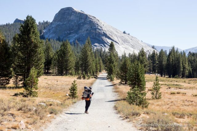
Heading out from the trailhead near the stables, you will start the trek to Glen Aulin, which is mostly downhill on the way there. The trail is pretty though, with lots of meadows and views to look at on the way.
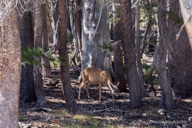
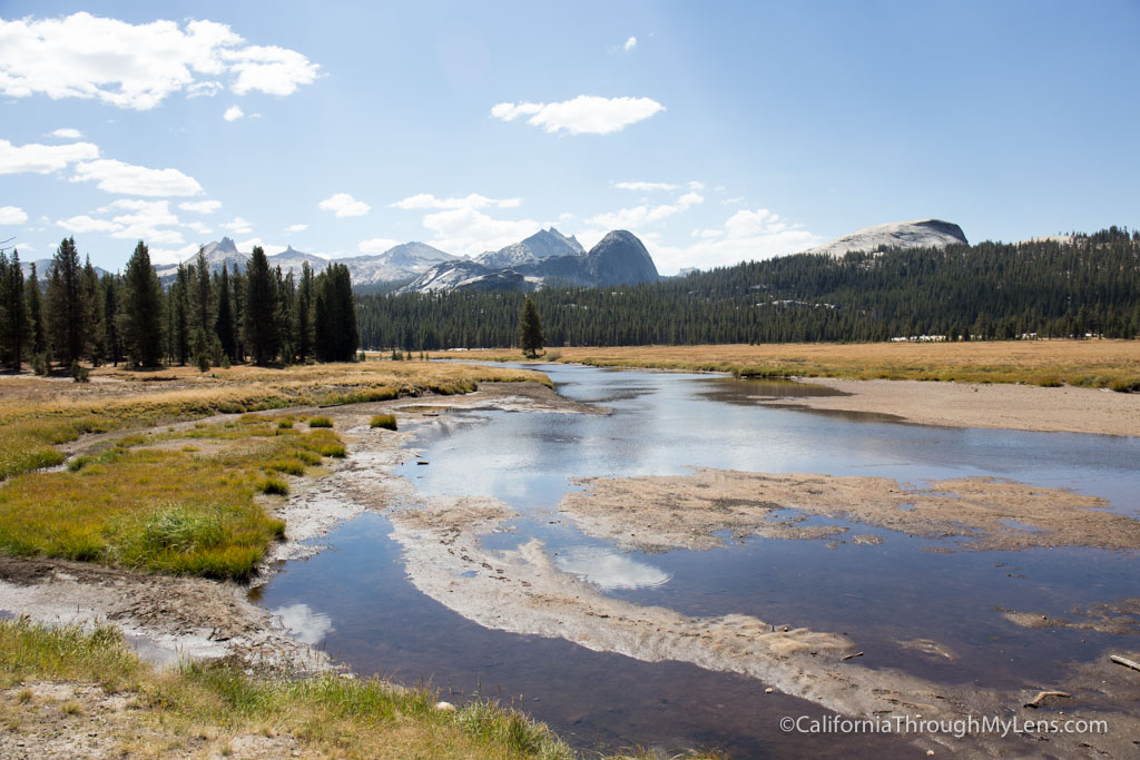
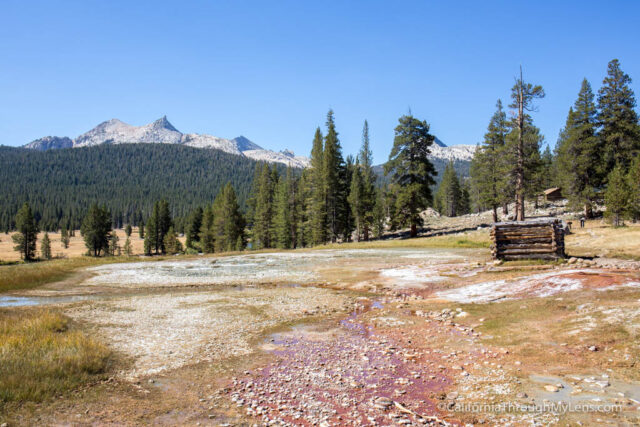
The trail starts by going into a meadow, and be sure to look back here as the view back to Lembert Dome is fantastic. Also, I saw deer here, so keep your eyes peeled.
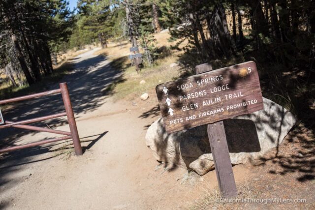
Heading on, you will almost immediately hit Soda Springs and Parsons Memorial Lodge. Both are popular parts of the Tuolumne Meadows area and are worth a quick pit stop. You can read more about them here.
From here, the next mile and a half are relatively uneventful as you make your way slowly through the forests and meadows.
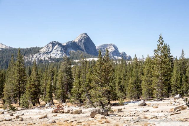
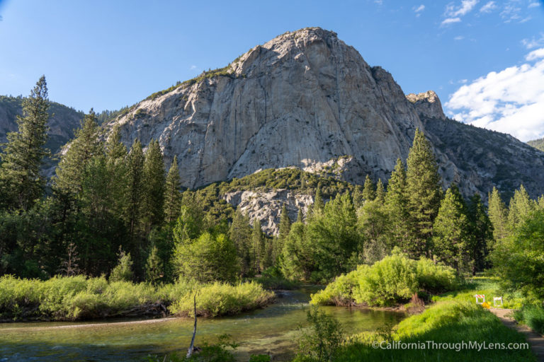
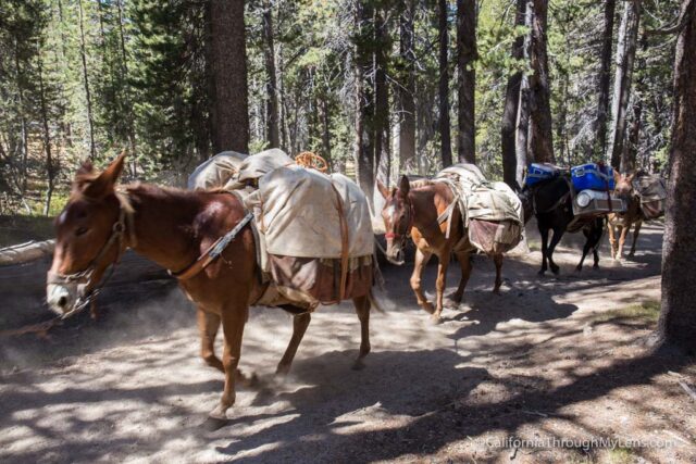
The meadows are beautiful with the striking granite domes in the back. We even passed the horses that were taking food into the High Sierra Camp.
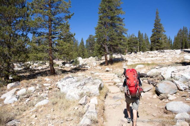
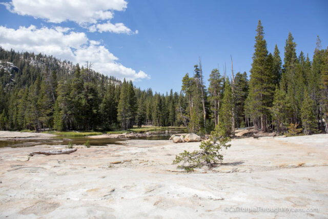
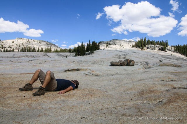
Also, there are a few areas where you will be crossing large granite slabs too.

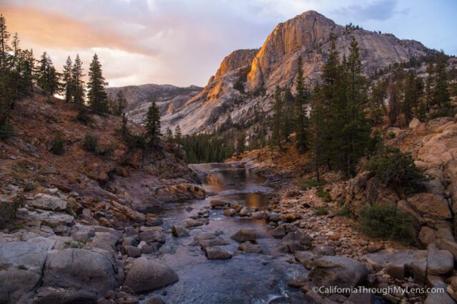
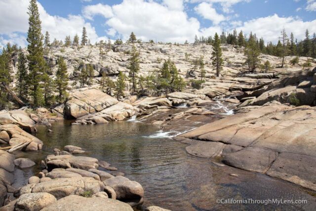
At the 3 mile marker, you will meet up with the stream, and this is where the trail gets stunning.
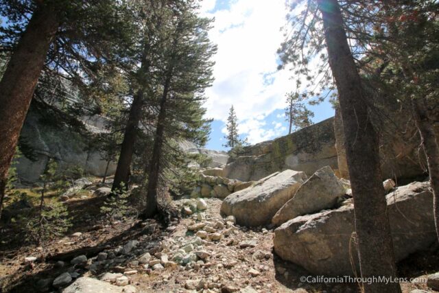
From here, the trail dips, bends, and flows over rocks, dirt, and granite as you wind your way back into the canyon. It’s impressive to see.
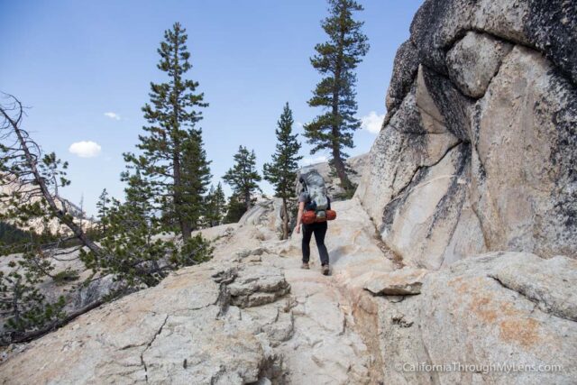
The massive granite slab that you get to is a great spot to take off the pack and sit for a minute before climbing some rock stairs that take you up to the overlook for the canyon where Glen Aulin is.
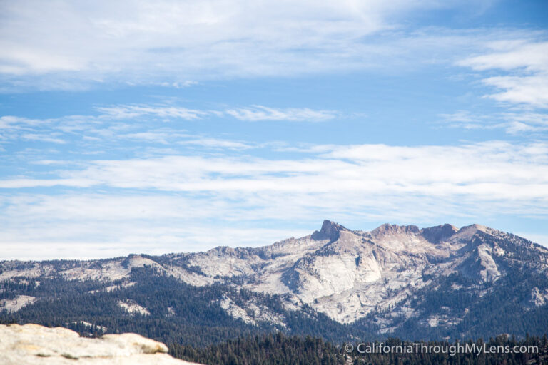
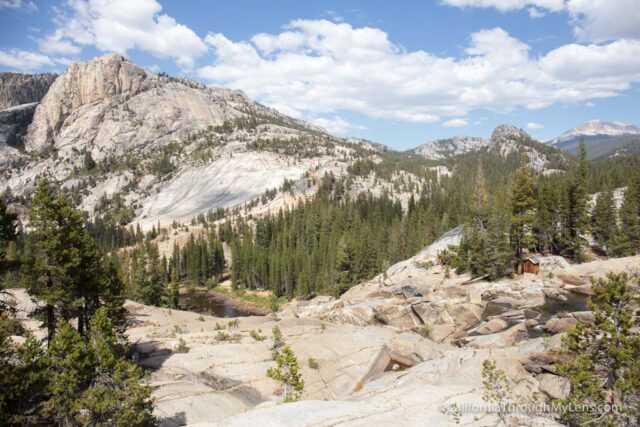
Canyon Overlook
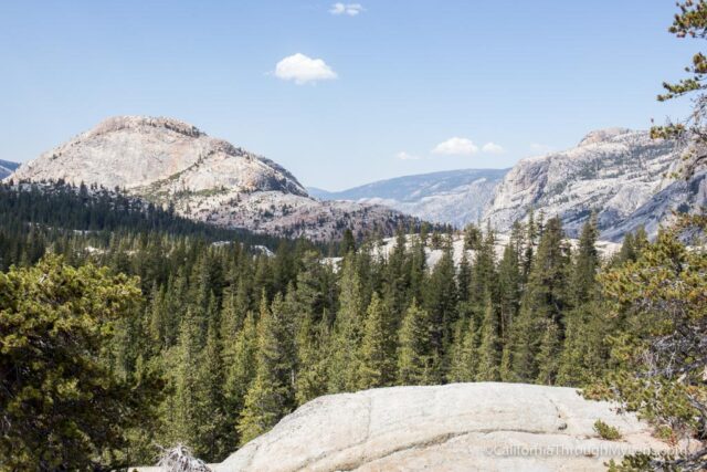
Glen Aulin would be in the middle right of the above picture, but you can’t actually see it.
This last mile is the steepest downhill section, which is uphill on the way back, but it is nice since it is at the beginning of your trek back and not the end.
The rock steps are at odd angles, so take your time as you head down.
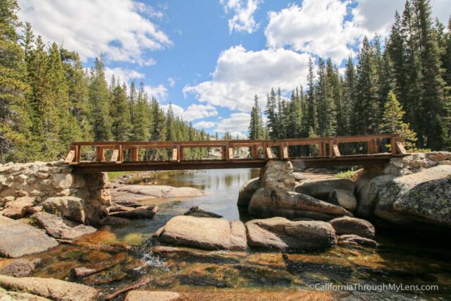
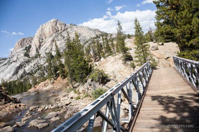
You will also be crossing a footbridge here over the water.
The trail then starts following the water again, and you see small cascading falls and more granite.
Tuolumne Falls
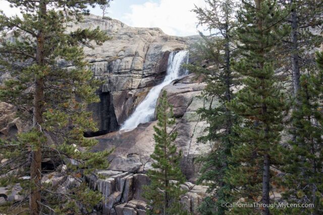
This trail eventually takes you to the stunning Tuolumne Falls, which is both a beautiful waterfall and a reminder you are getting close.
White Cascade
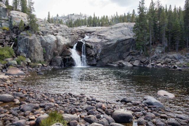
Following the water down, you will reach White Cascade, which is the waterfall in the camp you are staying at. It is impressive, and it’s unreal to have it right in your backyard.
From here, you will cross two bridges as you head to the High Sierra Camp or the backpacker’s campground.
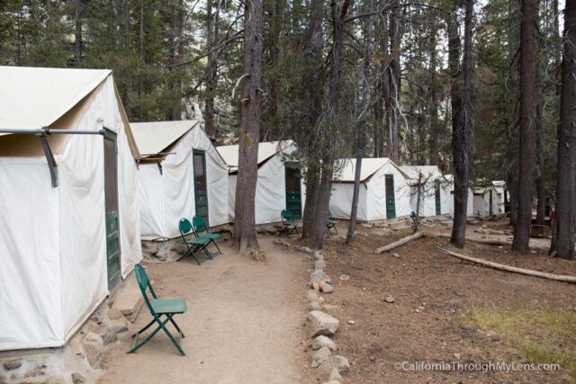
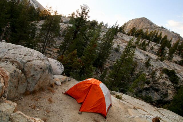
If heading to the backpacker’s campground, I would recommend going to the campsites in the back as they are more remote and have some epic views.
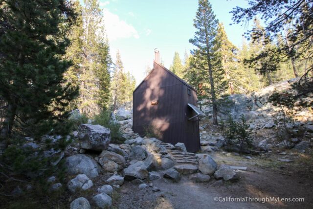
The closer sites are more noisy and busy, but they are also closer to the falls, bathroom, and drinking water. You can see the toilet below.
While in Glen Aulin, make sure to hike to Waterwheel Falls and the Grand Canyon of the Tuolumne as it is worth the trip. Read more about that here.
Be sure to leave a comment if you make the trip and let me know how it goes.