Hiking San Gorgonio Peak: Tallest Mountain in Southern California
Mount San Gorgonio sits at over 11,500 feet, and it has a commanding presence as the tallest mountain in Southern California. This hike is not one that should be undertaken without a lot of training as it is a brutal ascent of over 5,400 feet and 17.5 miles round trip. That being said, it is one of the most beautiful hikes in the Southern California area, with a few distinct geological areas that you go through on your way to the rocky and sparse summit. I hiked it when I was younger, but finally got a chance to do it again in late 2019, here is all the information.
Details
- 17.5 miles round trip according to AllTrails (it tracked at 19 for me)
- 5,400 feet of elevation gain
- Very strenuous
- Should not be done without training
- Display an Adventure Pass for parking
Getting There
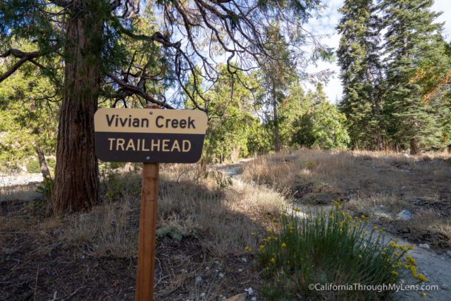
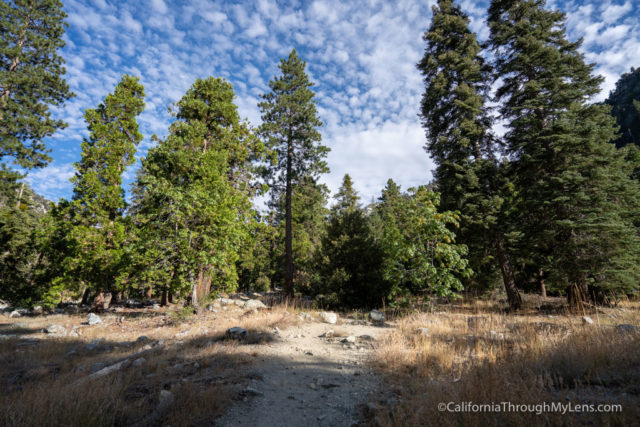
The most popular trailhead for San Gorgonio is Vivian Creek, and that is the one we hiked from. It is in the town of Forest Falls, and you can get directions directly to the parking area in Google Maps. The parking lot has an upper and lower lot, and the upper usually fills fast during the weekends. Because of how busy the trail is, I would recommend that you get an early start, as it is not strange for the parking to be full by 9 AM on the weekends. After parking, display your Adventure Pass and set out on the trail.
Video
Here is a video I made of the trail.
The Trail
The trail doesn’t really start for about a half mile as you have to walk along the creek bed and cabins until you get to the official trailhead. This walk is pleasant, but it feels very long on the way back down.
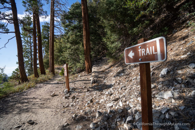
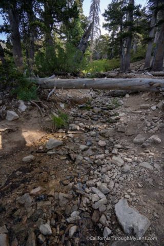
Once you reach the trail sign, you will be directed across the usually pretty dry creek (except in the winter/spring) and can start the trail.
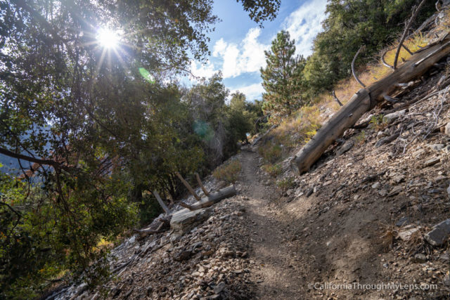
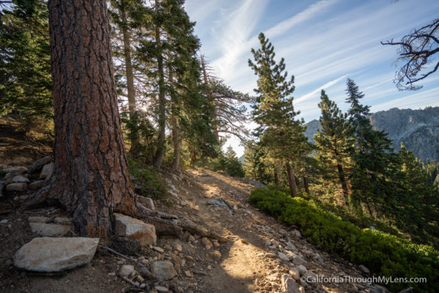
The trail starts with a bang as the switchbacks head up from the beginning, and this section is one of the steepest on the entire trail.
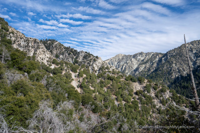
It is an unforgiving start and gives you a good understanding of what you will be going through on this hike. Unlike San Bernardino, where there are a few flat sections, San Gorgonio is basically uphill the entire way. The switchbacks continue to head up, and you will start getting nice views back over Forest Falls and across to the surrounding range.
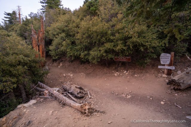
After about a mile and a quarter, you will reach the top of the switchbacks and will see a sign welcoming you into the San Gorgonio Wilderness.
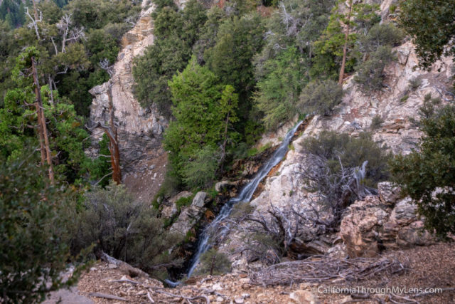
Pretty quickly after passing the sign, listen for the waterfall to your left, and there is a short 15 foot spur that takes you to an overlook for it.
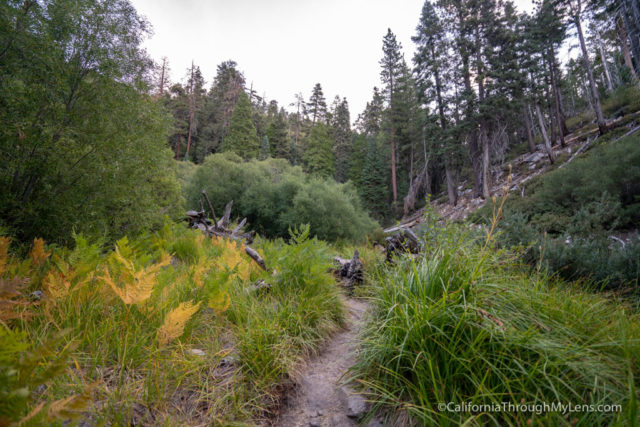
From here, the trail climbs a little more and then enters into my favorite section of the hike.
This area feels like something you would not expect to see in Southern California with large trees, a beautiful little creek to walk along, and lots of lush foliage.
It is a great area to walk through, and it makes the hike very enjoyable since it is so pleasant even though you are going uphill.
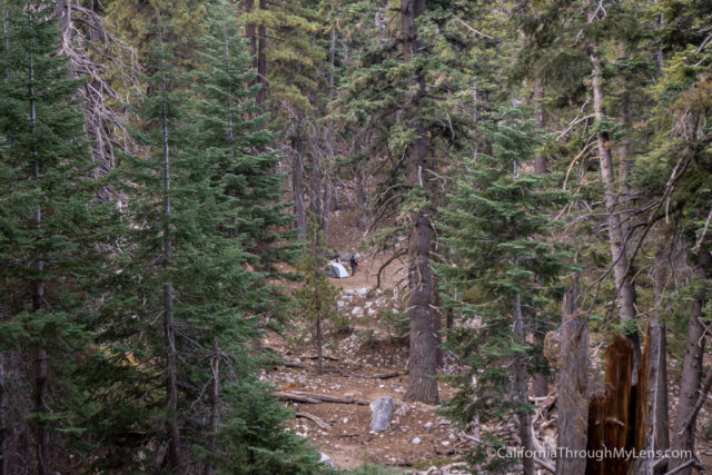
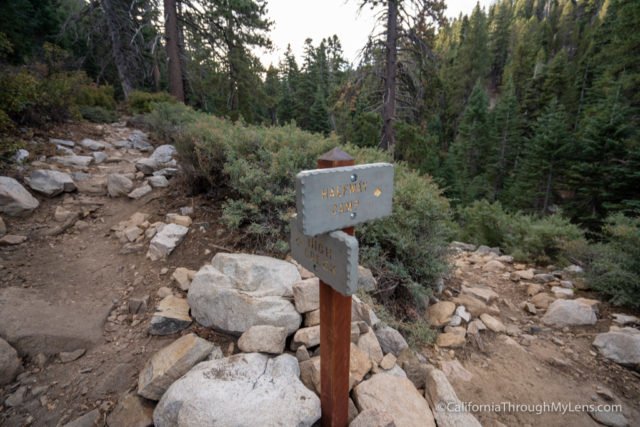
This section continues for a little while before passing the first of three campsites you see on the trail.
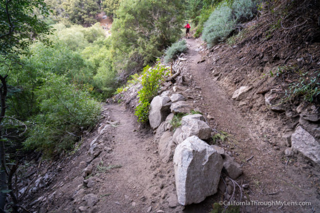
The trail continues uphill from here, and it starts the switchbacks again.
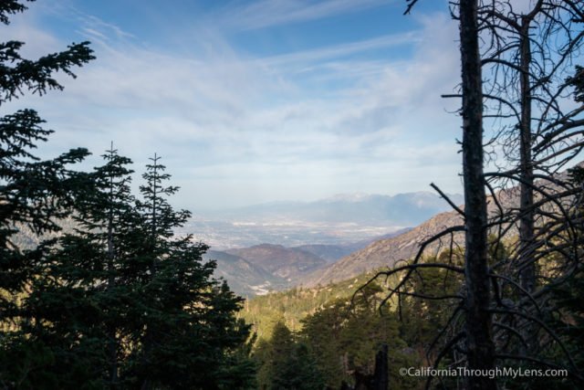
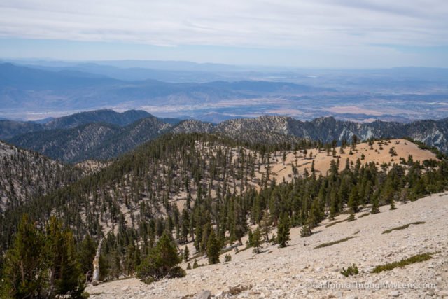
As you proceed up, you will start getting some views back over the Inland Empire.
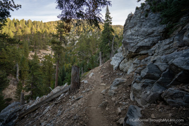
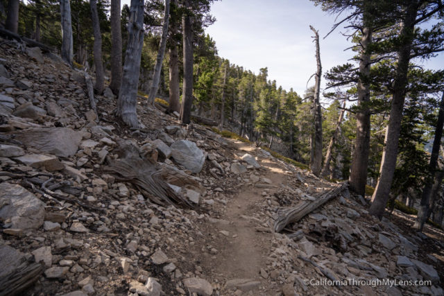
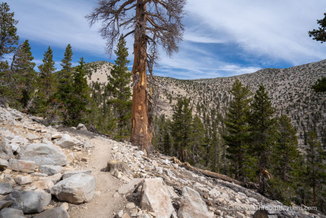
The trail hugs the mountainside and is a little rockier in this section with a few long switchbacks instead of the short ones.
Eventually, at around the 5 mile mark, there is a nice place to relax with a flat section and many downed trees to sit on. This is an excellent second snack break spot.
The trail continues around the cliff that you have been hugging, and it gets to a small overlook for another seasonal waterfall.
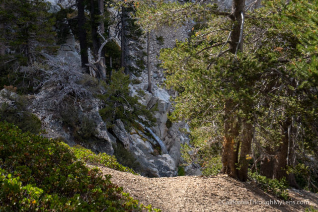
From here, it heads into a small forested section where you will find the third and final campsite on the trail.
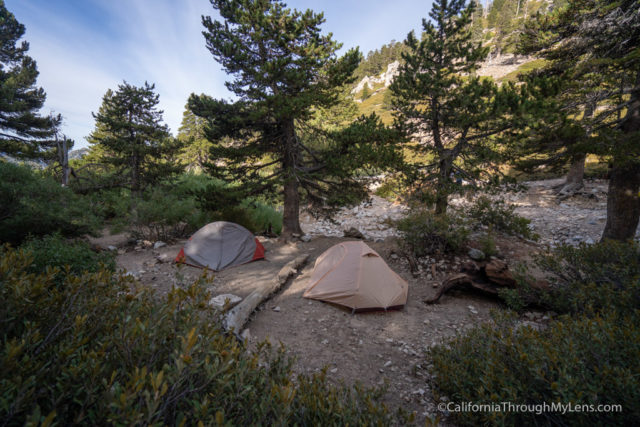
This campsite is a great spot to two day the mountain from as it is right before the steep second half of the trail.
This is also where the last water source is, but you need to filter the water if you want to drink it.
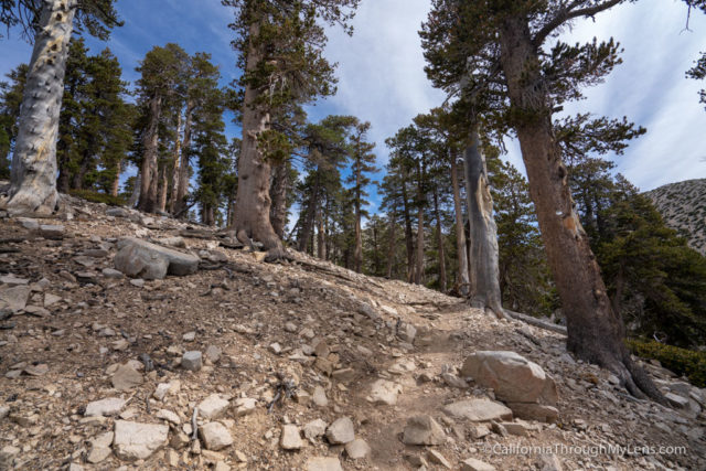
The hike now continues onto the second large section of switchbacks.
I didn’t mind this section as you gain a lot of elevation, but the switchbacks are gradual, and it is not too hard to keep a steady pace with shade as well.
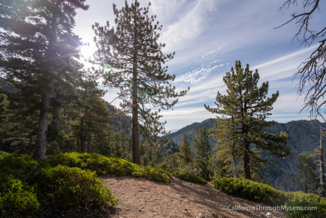
After finishing the switchbacks, you will be at the ridgeline/notch, which is where most people take another break before the final two miles.
There are great views here and places to sit and relax as well, so it is a nice break from the switchbacks.
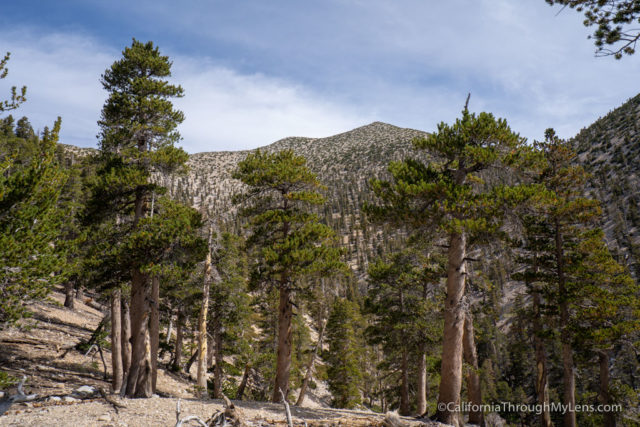
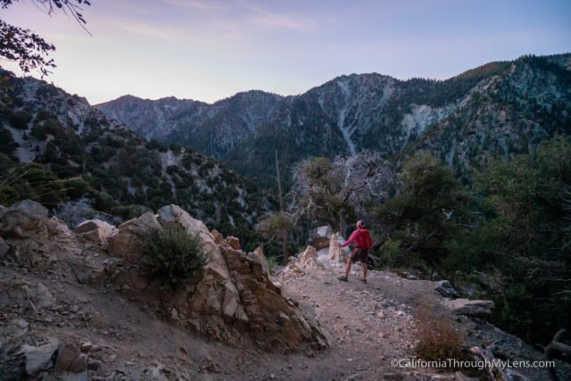
Once you are ready to continue, you will move into the hardest section of the trail on your way to the summit.
This section starts by gaining elevation on a steep single track with intermittent switchbacks along the way.
After about three quarters of a mile, you will reach the top of this hill and can see the trail continue in front of you along the side of the mountain.
If there are people on the trail, then you will get a good sense of scale for what you still have to accomplish on the hike.
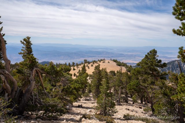
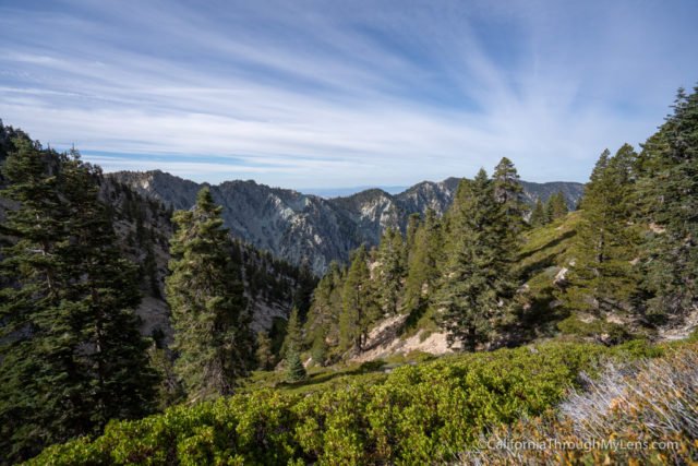
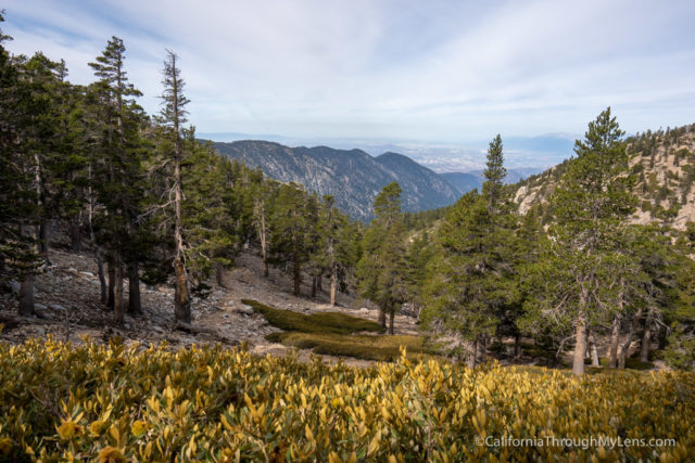
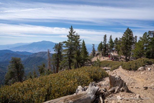
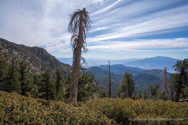
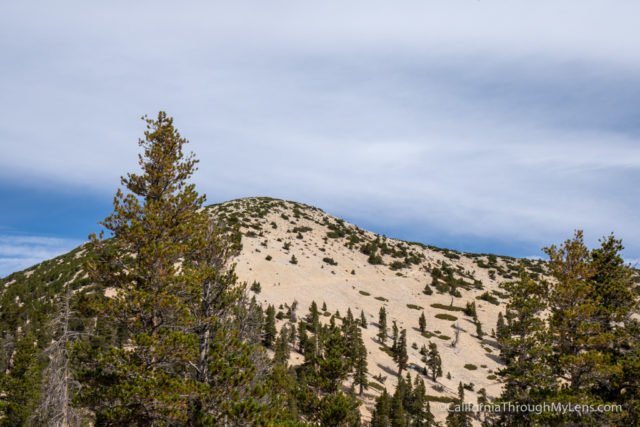
From here, the trees are basically gone as well, so you will be exposed to the sun as you make your way along, and I highly recommend lots of water and sunscreen for this section.
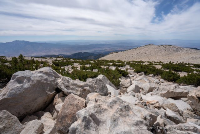
This section has some genuinely amazing views as the trees are gone, and you can see for miles. It’s an especially great spot to view San Jacinto from as well.
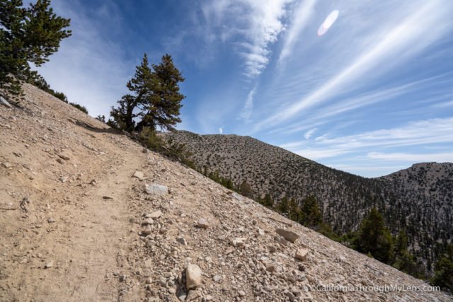
The trail is tough here, but keep pushing on as you are getting close to the summit.

The trail is also really rocky, and so you will want to watch your feet, and I would recommend a hiking pole.
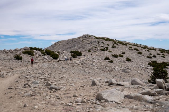
Eventually, you will reach the top of this section, and you will finally get your first view of the summit.
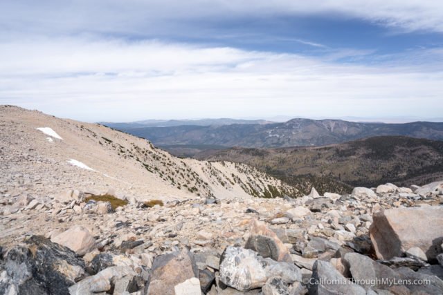
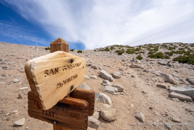
From here, the uphill is basically done, and you simply have to walk across a flat section to make it to the rocky summit. Note that this section and the summit can be incredibly windy at any time of the year, so you should bring a jacket just in case.
After crossing the flat section and climbing the last 20 feet, you will be at the summit of San Gorgonio, the tallest mountain in Southern California. This is no small feat at over 11,500, and congratulations on making it to the top.
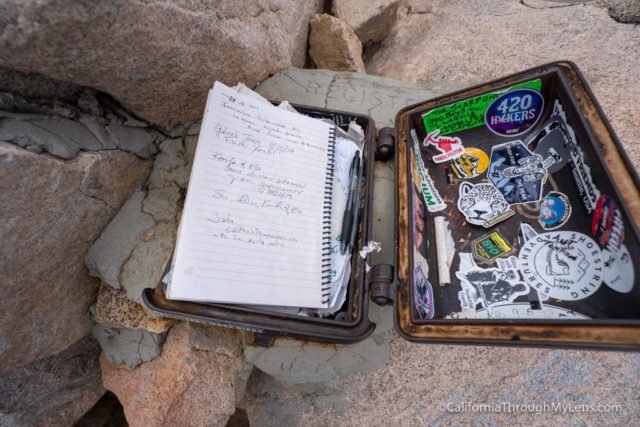
We took the time to soak in the fantastic views, signed the summit register, and took photos with the sign. It was a great accomplishment and one of the best summit views I have seen in a long time.
Remember that when you make it to the summit, that is only halfway, and you still have 8.5 miles back to the car. This is where the hiking pole comes in handy as the downhill can be steep in sections. Overall this is a tough hike but an amazing one. If you are interested in doing it, then start training and hiking some of the local mountains to work your way up to it and let me know if you have any questions in the comments.
Forest Falls, California