Mount Tamalpais: Verna Dunshee Trail & Fire Lookout from East Peak
Mount Tamalpais is one of the tallest mountains in the San Francisco area, and it provides fantastic opportunities to view the surrounding region from above. It is also a favorite for local photographers at the end of the summer, as it is where you can get those fantastic views of the fog rolling in. The mountain is easy to access; you can drive nearly all the way to the top. Once you get there, a few short trails take you up and around the mountain. Here is all the information so you can do it yourself.
Details
- .7 miles for the Verna Dunshee Trail
- .3 for the fire lookout, plus 200 feet of elevation gain
- Cost: $8
- Location: Mt Tamalpais, California 94941
- This information is from my visit in 2017
Getting There
East Mt Tam is located about 45 minutes north of San Francisco. You can just put it into Google Maps, and it will take you right to it. The roads getting there are windy and slow going, so be sure to take your time. The top has about two dozen spots to park at, and I haven’t been when it was full.
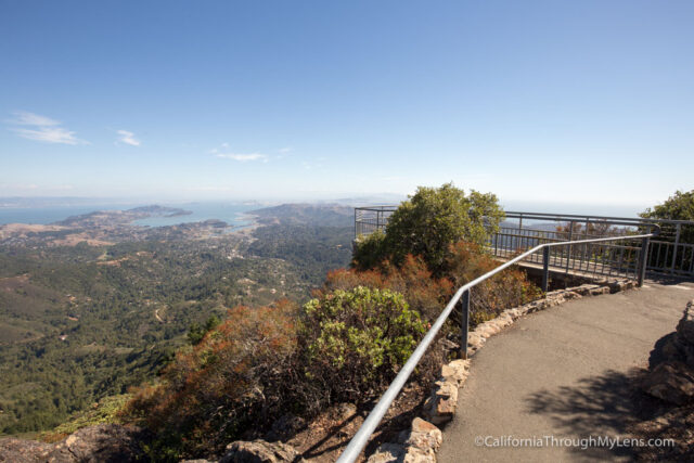
On the way up, there is a turn off right when you crest the hill. I recommend you take this and cross the street to walk the path next to the road. It is absolutely stunning, and I was blown away by how pretty everything was.
After this, head on up to the parking lot for East Mt Tam. West Mt Tam is the one with the observatory on it, which you will pass to get to East Mt Tam. After parking, be sure to pay your $8. Exact change is needed as you fill out the envelope yourself. If you go when the small visitor center is open, then you can check it out, but it was closed when I was there, so I set out on the Verna Dunshee Trail first.
Verna Dunshee Trail
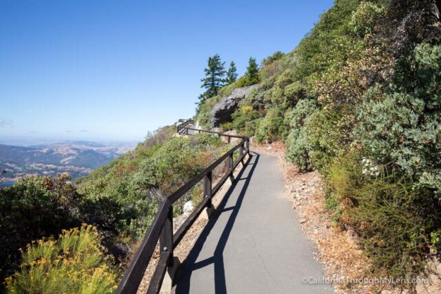
This .7 mile trail is relatively flat, and it takes you around the circumference of the mountain. I highly recommend it as the views on a clear day are spectacular. I set out along the trail counterclockwise.
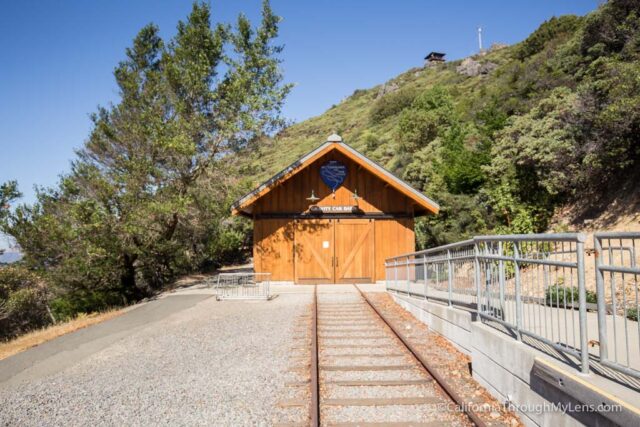
The trail goes past the remains of the old railroad, which used to go all the way up the mountain. There are plaques that talk about it, and if you are here during the weekend, you can go inside.
From there, the trail starts heading around the mountain, with the first view being down towards the lake to your left.
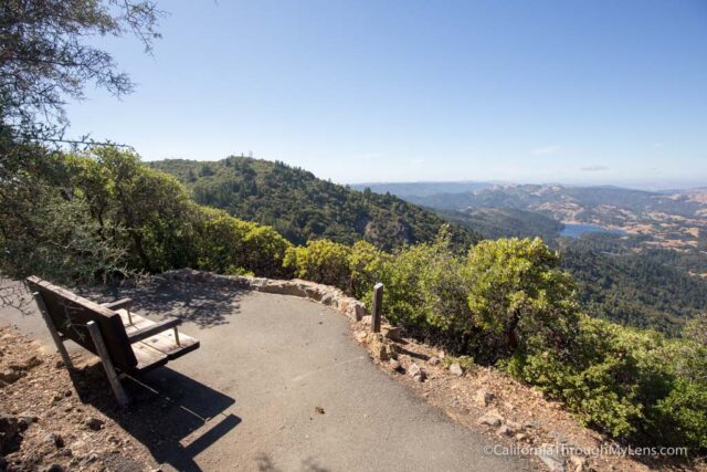
The trail has lots of benches for you to sit at as you walk around, and you will want to take advantage of these as the views are excellent. Heading around the front, you will now be looking down on San Quentin and the Richmond–San Rafael Bridge.
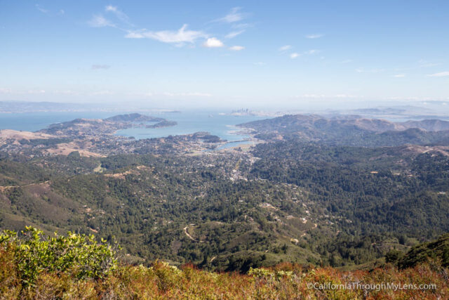
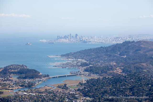
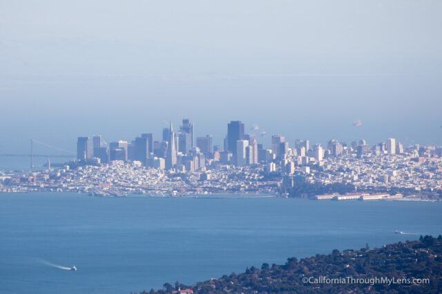
As you go further around, you will get your first glimpse of the city of San Francisco off in the distance. I was happy that the weather was beautiful as it was fun to be able to see the city in the distance.
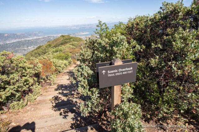
The path then splits off to an overlook that is about 400 feet in front of you. You can do it if you want, but the overlook you are heading towards on the main path is just as good.
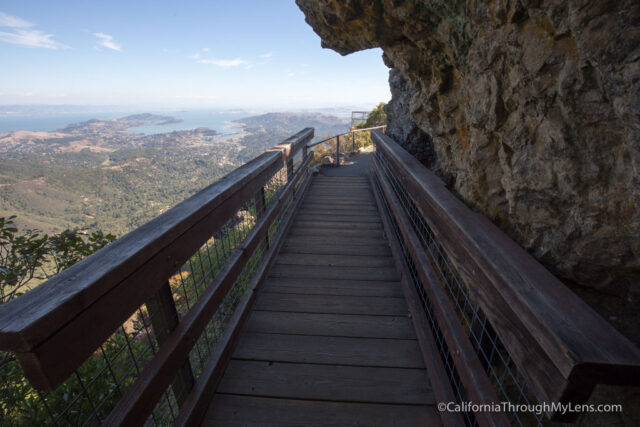
After crossing over a small bridge, you will reach the overlook with its pipe fencing. This is where I used my zoom lens and took a bunch of photos.
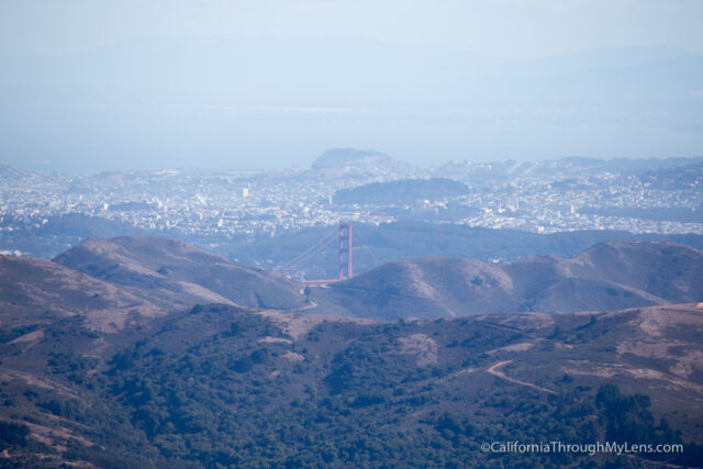
If you have binoculars or a zoom lens, you can see the top of the Golden Gate Bridge from this vantage point, which is a lot of fun.
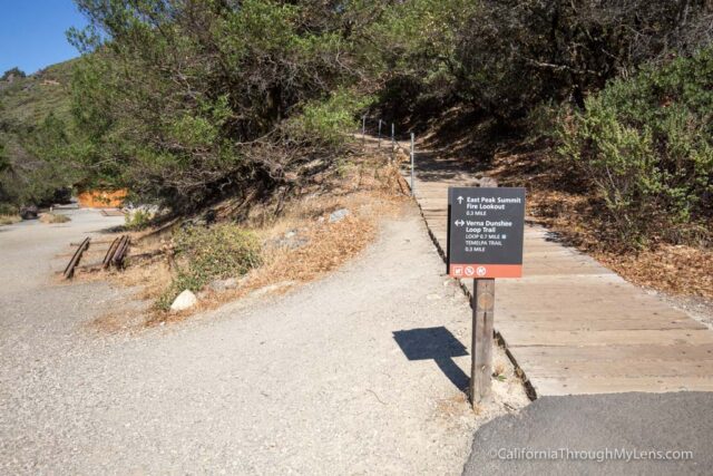
After soaking it all in, you can continue along the mountain and arrive back to where you started on the trail. From there, start the .3 miles up to the fire lookout if you are feeling up to it.
Fire Lookout
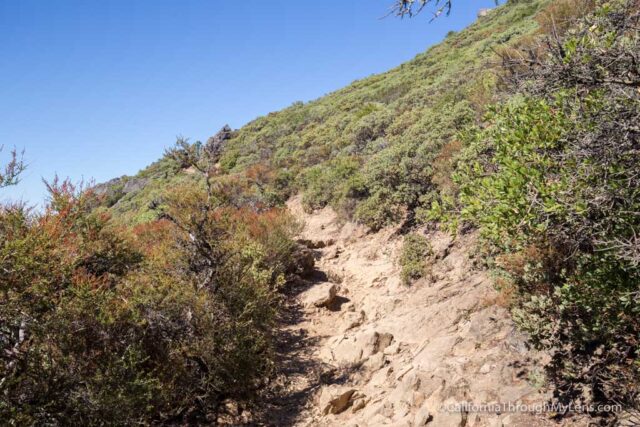
While this trail is short, you will be gaining elevation, so it isn’t as easy as you would expect. Also, the rocks are very uneven at the end, so it takes a little longer to maneuver them.
This trail starts by heading up on a series of steps where you can see the end goal of the lookout in front of you. It then bends and goes around the mountain through a shaded portion.
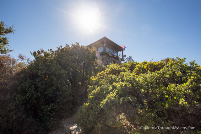
Next, there are a few small switchbacks with uneven rocks that you need to maneuver past. From there, you are at the base of the fire lookout.
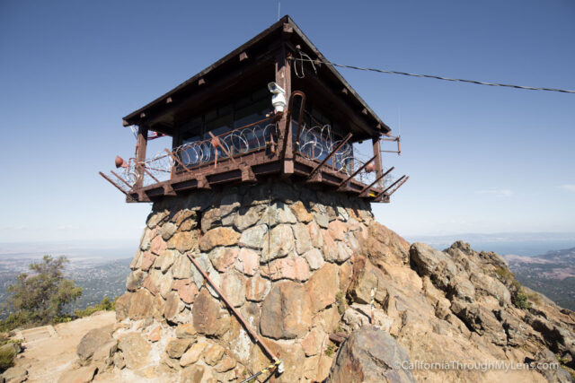
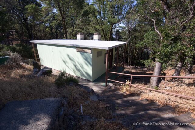
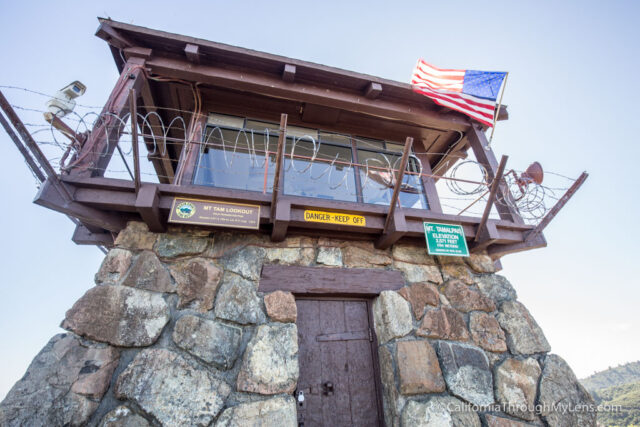
Heading up to the door, you can see a small plaque that tells when it was dedicated, as well as video cameras and barbed wire to try and keep you out. I walked around the lookout to see it from all angles, but it was the same view the entire time. After taking it all in, I headed back down the hill to my car.
Mount Tamalpais State Park is an excellent place to explore close to San Francisco. It is far enough away from the city to avoid the crowds, and it provides fantastic views and great short hikes. Be sure to check it out if you are in San Francisco and have a car.