Devil’s Punchbowl Trail In Pearblossum, CA
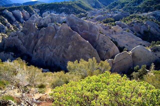
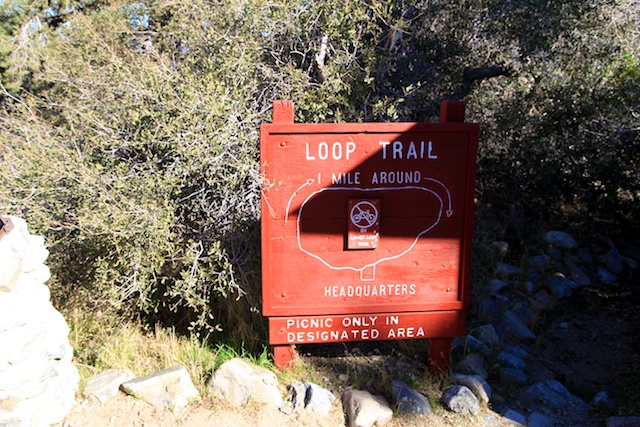
The Devils Punchbowl is a unique area in Pearblossom, CA (about an hour and a half northeast of Los Angeles) with a state park that houses some exciting hiking trails and truly unique geological formation. The Devils Punchbowl itself is accessible from a 1-mile loop trail that drops you down into the center of these massive rocks and lets you explore and climb to your heart’s content.
A little background on the area is as follows.
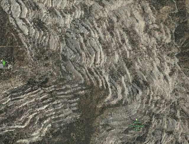
“The most conspicuous features of the park are geological. The Punchbowl is a deep canyon cut by the runoff of large quantities of water from the higher San Gabriel Mountains occurring over a long period of time. These mountain peaks above the park are 8,000 feet in elevation while the Nature Center is located at 4,740 feet above sea level. The Punchbowl Canyon is 300 feet deep at the vista point. The peculiar uptilted rock formations to be seen in the entire area are layers of sedimentary rocks that were formed long ago by the depositing of loose material in horizontal layers by water. Later they were squeezed into their present steeply-tilted form by the continuing action of uplift along the Punchbowl and Pinyon Faults and pressures along the San Andreas Fault. The Punchbowl Fault is to the south of the rock formation while the Pinyon and San Andreas Faults are to the north.”
Check out how it looks on Google Maps to get a sense of the uniqueness of the rock formations.
At first glance, you will see this area is entirely unique. There are large rocks that jut at least 100 feet out of the desert floor, and the only way I can describe it is if they were pushed out from underneath. There are a dozen of these rocks, all varying in size and color along this loop.
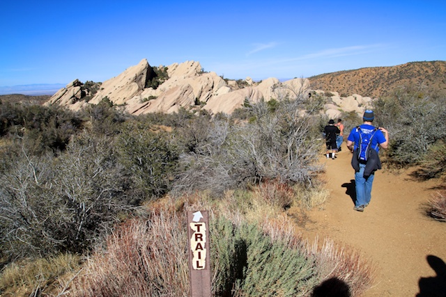
The loop itself has many opportunities for you to exit and walk down to the small creek that winds its way through the devil’s punchbowl, as well as test your luck climbing some of the rocks. Since we had just completed the Devils Chair hike, which was 7 miles long, we elected to stay on the path and take in the views from above, but we saw a lot of people both picnicking and doing some climbing.
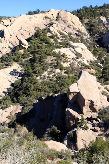
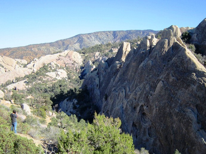
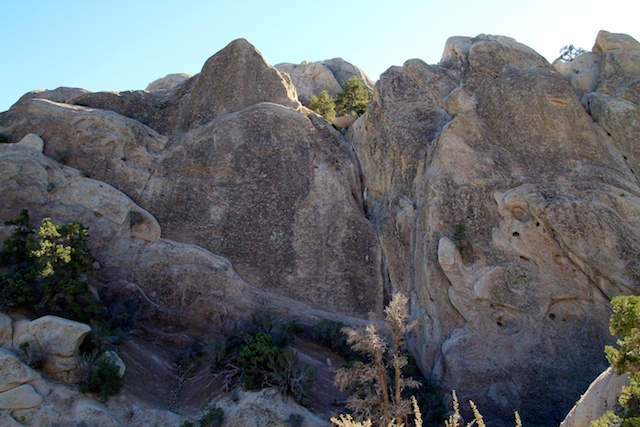
I have to stress the fact that the landscape here feels somewhat otherworldly. It reminds me a lot of the Pinnacles National Monument area in Central California and is a great place to take the family and have a picnic while the kids, or the adult, climb on the rocks. Check out a video I took below.
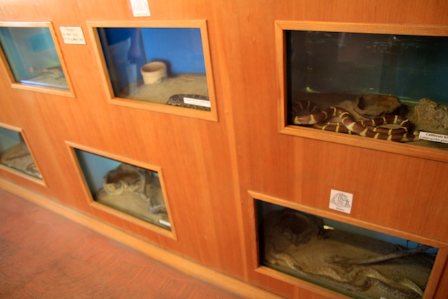
Also of note, their visitor center has a collection of snakes and scorpions all found in the area and is worth checking out as well.

I cannot stress how awesome this park is to experience and would recommend it if you are looking for an exciting outdoor adventure for the whole family. Plus it is free; there are no parking costs. Also, when we left at around 2 PM, the parking lot was completely full, so make sure you consider that if coming on a weekend. Also, make sure to bring a lot of water during the summer as the area does not have a lot of shade. let me know what you think in the comments!


