Gage Canals: Beautiful Trail to Run or Walk in Riverside
My wife is currently training for a half marathon, so because of that, I have been asked the question, “where is a good place I can train that is more interesting than our neighborhood.” Not being a runner myself, I have never looked for places like this, but in my research, we have traveled to the San Clemente Beach trail and the Santa Ana River Trail, among others (if you have one, please leave it in the comments). The Gage Canals kept popping up, but there was little information online about it, so we set out to see how this 5 mile each way path would stack up. Here is all the information.
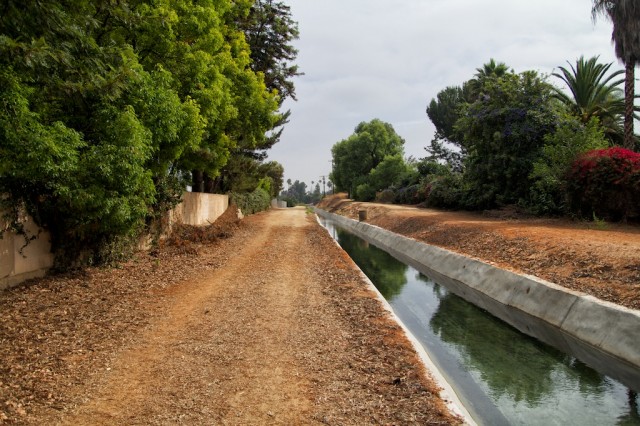
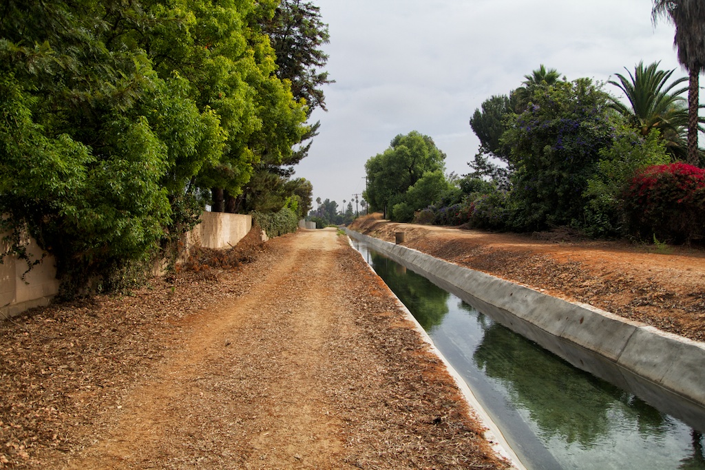
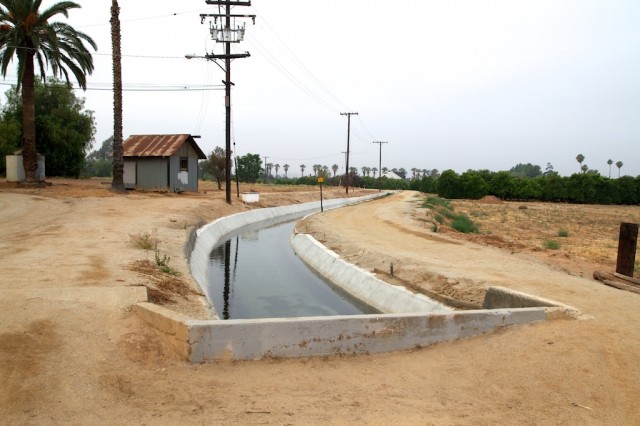
Located in a nice community in Riverside, the Gage Canals follow a storied historical canal that was built in 1886 and brought water from the Santa Ana River to the original Riverside town site. I had a hard time finding more history on this area or what they are used for now, but regardless water is still running through t, and it is a beautiful place to walk or run.
The Gage Canals
As a caveat, read signs about where to park and trespassing when you go as there is a lot of different information as to what is allowed and what is not. When we were there on the weekend there were at least 50 people walking the trail though, so it seems like it is pretty popular.
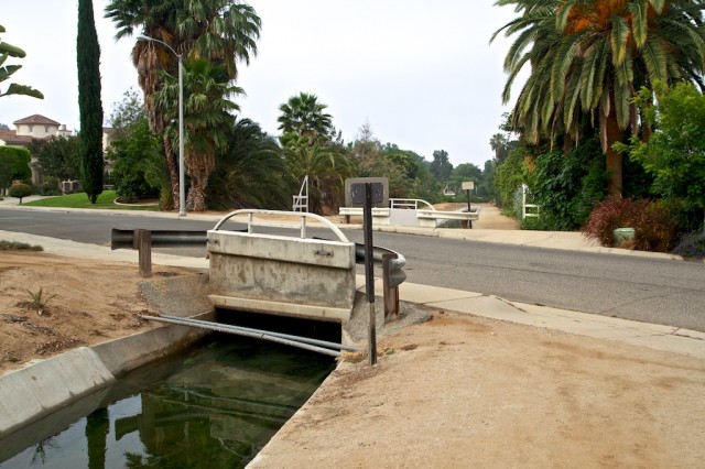
Where we started the run was right off Arlington St, south of the 91 Freeway with a right turn on Hawarden Dr. This is where we parked, and you can see the start of the canal trail as soon as you turn.
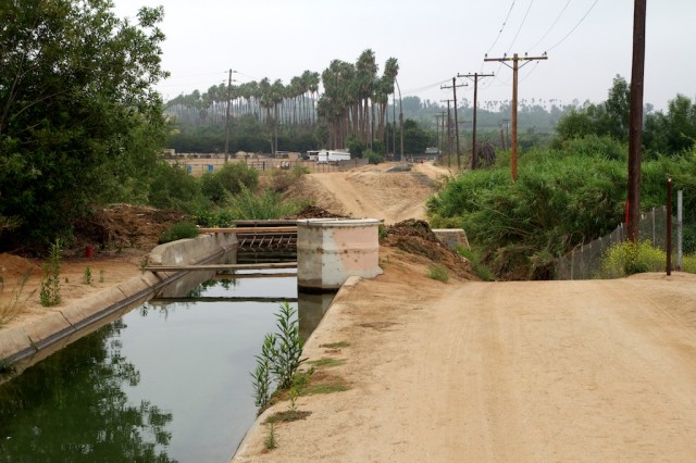
It meanders through a beautiful area of trees and plants while you walk along the dirt road that butts up against backyards.
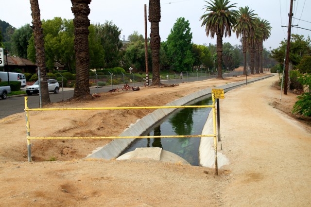
The trail starts to cross over some streets every half mile or so, but there is only one street that has much traffic.
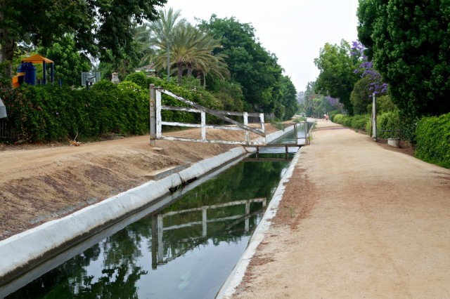
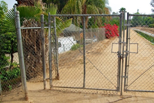
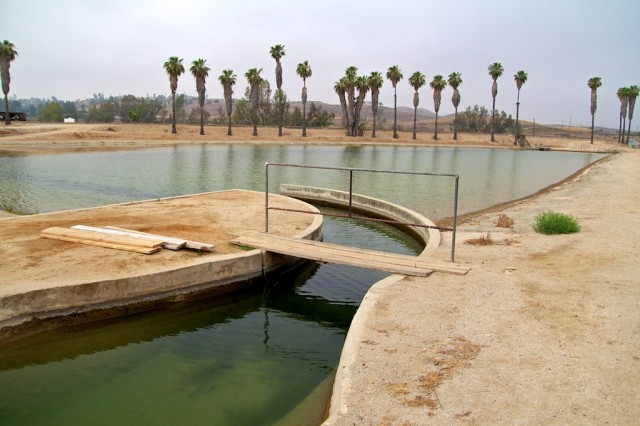
After about a mile and a half, you will enter the area that allows walkers but not bicycles. You can see below it is built for people to enter, but if you were biking this trail, you would need to find a way around this part.
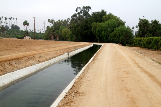
The trail then starts to leave the community and go more into the dirt roads and sparse housing lots. Some even have cows and horses, which is hard to believe so close to the city.
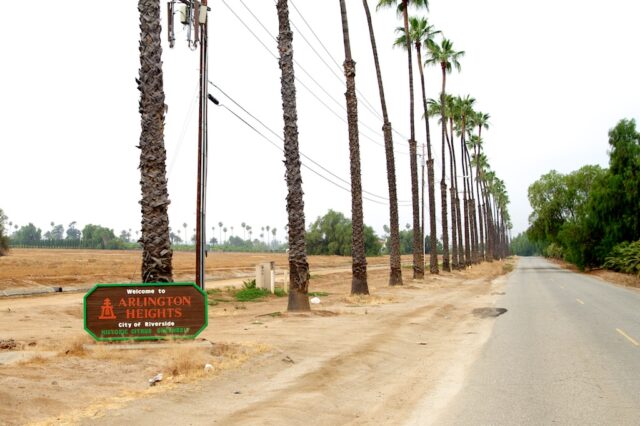
After 2 miles, you will cross Washington St (the busy one) and head into the Arlington Heights area of the trail. This is also a place where I saw some people park, but this part of the path is a lot more rural and remote, so just be careful when you chose to go.
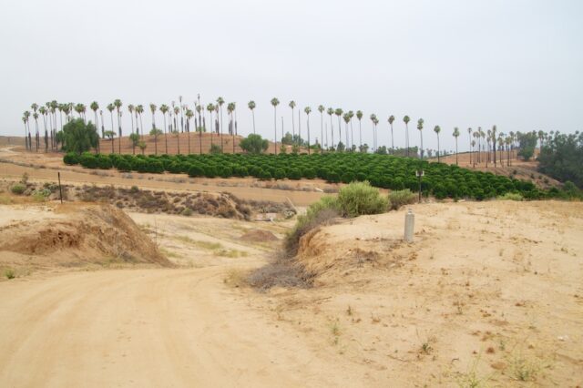
The trail winds around through orange groves and farmlands as it continues to make its way towards Citrus State Park.
After 2 and a half more miles, you will reach the end of the canals.
If you continue down this path you can see the orange groves of Citrus State Park ahead, but I am not 100% sure if you can get to the park from here as we turned around and went back.
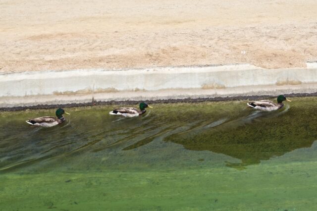
Along the trail, we saw about 50 people, many with dogs, and about ten ducks. It was a beautiful trail and a great way to spend a Saturday morning if you are into running or walking. Get directions below, and feel free to let me know what I left out.

