Strawberry Peak in the San Gabriel Mountain Range
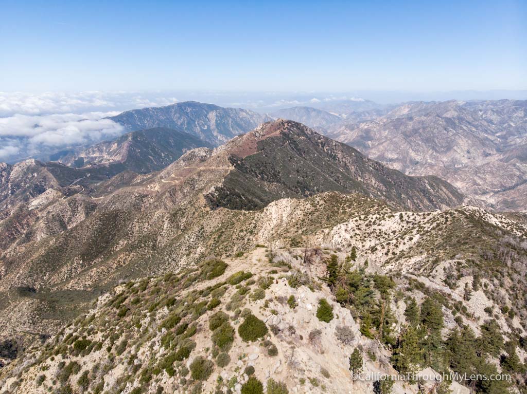
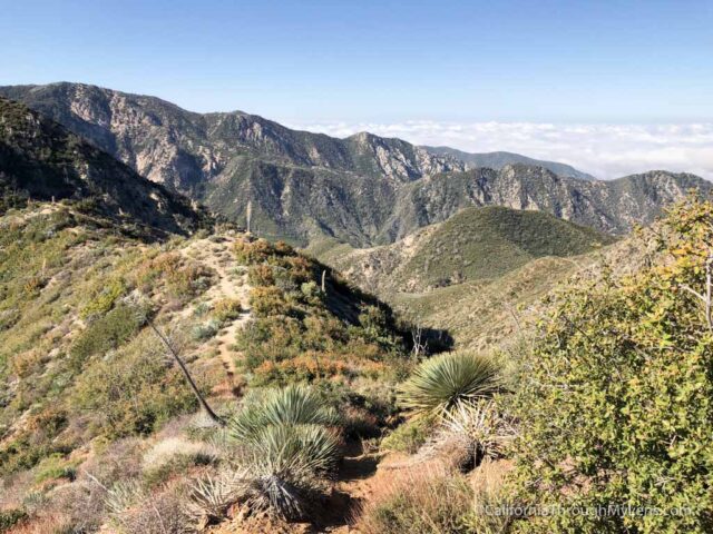
Strawberry Peak is one of those hikes that I have wanted to do for years but never made a priority. It is the tallest mountain in the front range of the San Gabriels, beating San Gabriel Peak by 3 feet, and it stands at 6,164 feet tall. This peak is a great hike, relatively close to the LA area, that gets the blood pumping and provides some fantastic views, do be warned though that the last push to the summit can be tough. Here is all the information.
Details
- 7 miles rounds trip
- 1,800 feet of elevation
- This information is from my visit in 2018
Getting There
Leaving Pasadena on the 210 Freeway North, you will want to get off on CA 2 and head into the mountains. The road winds around for about 12 miles until you reach Red Box Gap and the turn off for Mt Wilson. You can park in the lot here and begin your hike.
Video
Here is a video I made of the hike.
The Trail
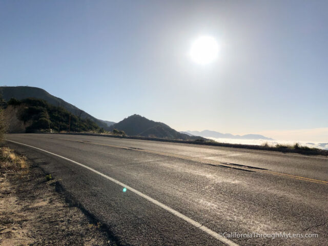
The hike begins by crossing the street from the parking lot that you just parked in. When you cross the road, you will see a sign that says “Strawberry,” and this is the path you will take.
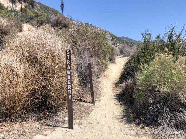
From here, the trail is a gradual incline for the first mile.
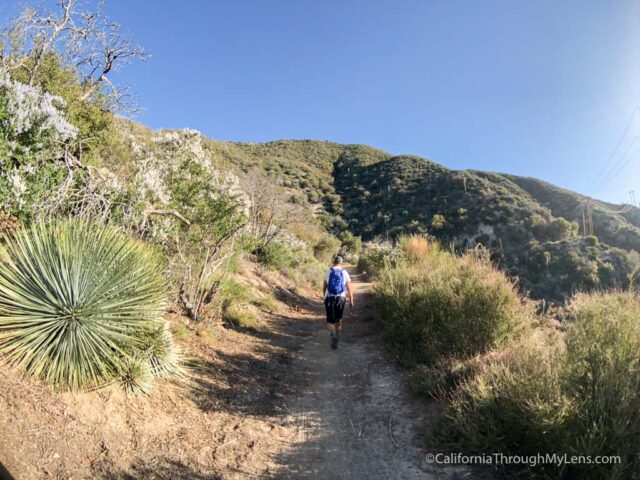
There is a little bit of shade, but it’s pretty much the only shade on the hike, so start early in the summer.
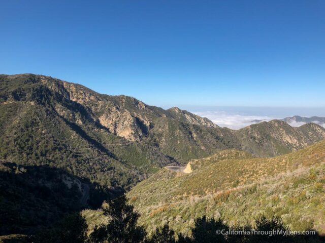
Eventually, the trail reaches a small saddle, and you will want to head right and continue on the singletrack that hugs the mountain.
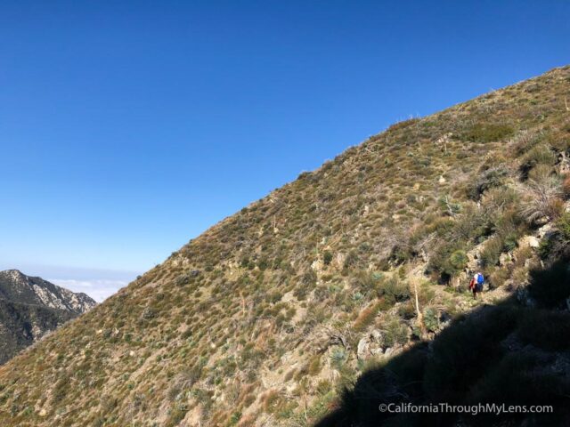
This trail is gradual as well, but there is a good drop off on the left side, so make sure to watch your footing.
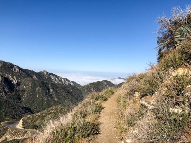
It takes about three quarters of a mile for you to make it around the mountain where the trail bends to continue hugging the other side.
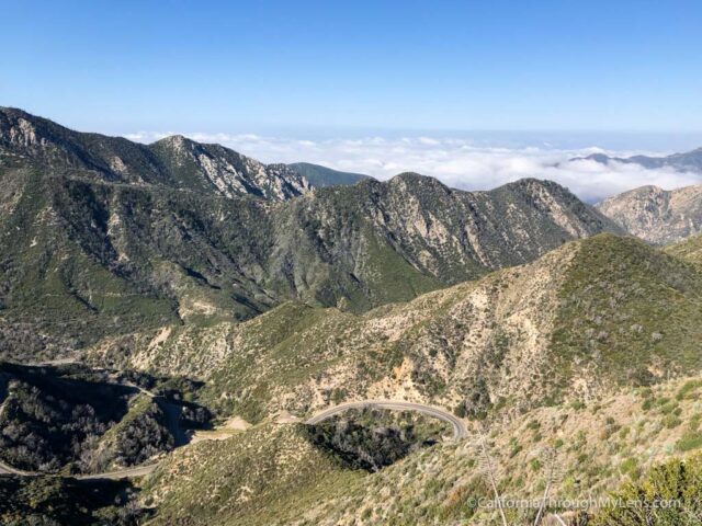
There are great views here down on Highway 2 and out into the distance where LA is.
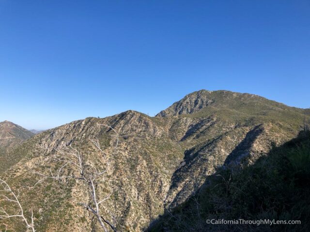
Eventually, the trail will bend one more time, and you will get your first view of Strawberry Peak in the distance.
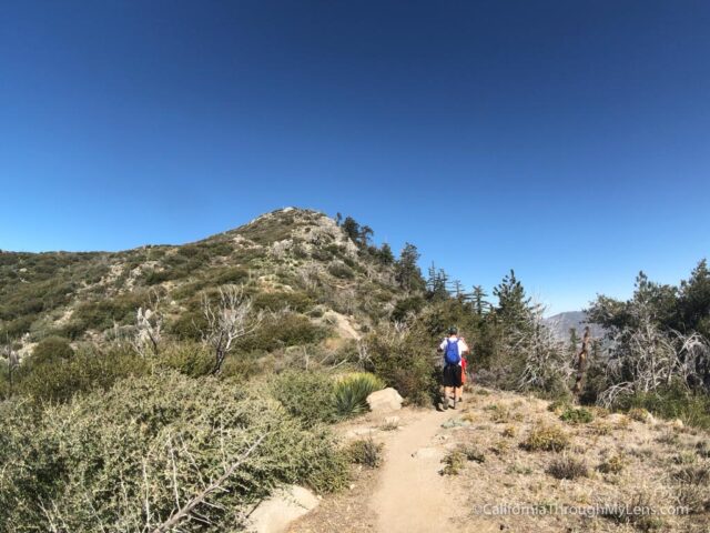
From there, the trail splits to Strawberry Meadow and Strawberry Peak. I didn’t have time to go to the meadow, so I continued on the peak trail.
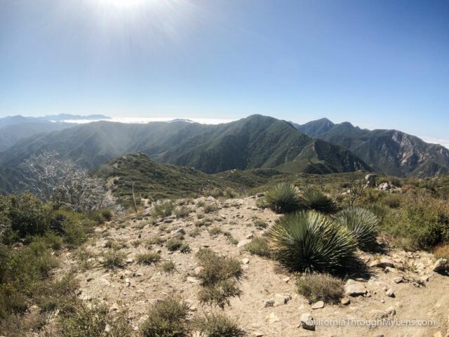
This is where the trail starts to get tough, as you will go up and over a small hill before finishing the hike with a steep climb.
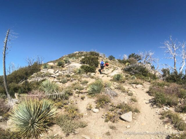
The last half mile or so is basically all uphill, with some scrambling thrown in for good measure. It is never too tough, and you just have to keep pushing through.
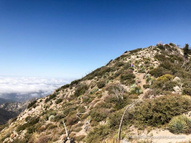
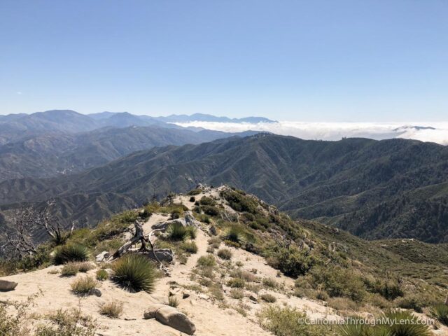
Eventually, you will reach the false summit and then go along the ridgeline to the actual summit. The summit is small, with a few rocks on top and a register box.
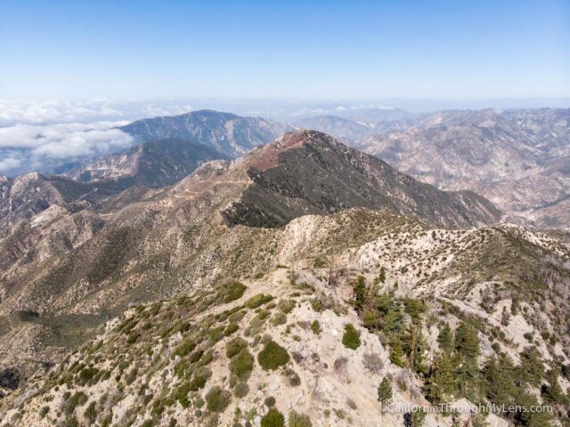
The views are epic though looking out over all the peaks that surround you.
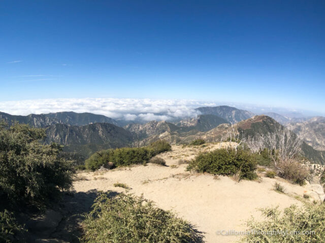
It was cloudy when we went so we couldn’t see Los Angeles, but on a clear day, you should be able to. After hanging out for 15 minutes, we started the hike back down.
Remember that all this uphill is now downhill, and it can be tough on the knees. Just take your time, and you should make it back fine.

I really enjoyed this hike and recommended it for a good, average level summit in Los Angeles area, check it out and let me know what you think in the comments.

