Trans Catalina Trail: 5 Days Hiking Across the Island of Catalina
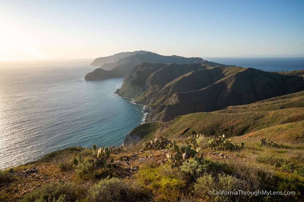
The Trans-Catalina Trail (TCT) is one of the premier hiking adventures in the state of California. The 38.5-mile trail traverses the island of Catalina, giving you access to a stunning Mediterranean landscape, beautiful coastal views, bison roaming the hills, and campsites right on the beach. We set out to hike across the island on a 5-day adventure utilizing a gear haul service from Catalina Backcountry, here is all of the information from our time hiking the trail over five days.
Details
- 38.5 miles
- Over 9,000 feet of elevation gain
- Must get campsites in advance
- I partnered with Catalina Backcountry for a gear haul on this adventure, click here to find out more about them
- We hiked this February 28th – March 4th, 2020
- My friend Jeff inspired me to go on this adventure, read about his trip here
Video
Here is a video of the entire trail; it is almost an hour long. Or you can just read about the trail below.
How to Plan the Trip
Here is another video I did on planning and tips for making the journey.
Day 1
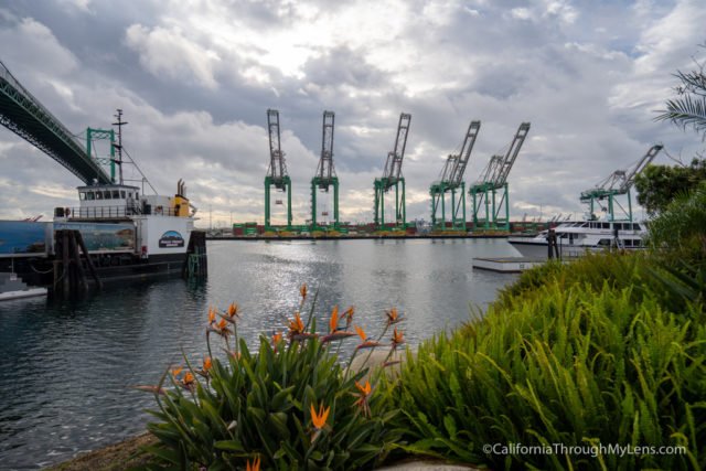
To start our hike, we decided to take the first day easy, so we took the 9 AM Catalina Express Ferry from San Pedro. Note that San Pedro is the only ferry location that goes to both Avalon and Two Harbors. This makes it the best spot to take the ferry so you can arrive at Avalon and just leave from Two Harbors when you are done hiking to come back.
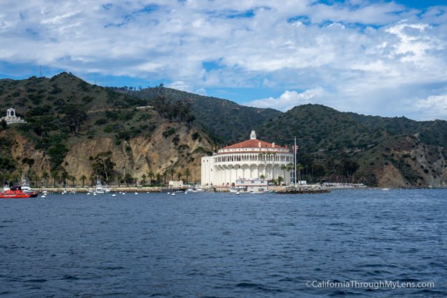
The ferry took about an hour and a half, and we got to Avalon at 10:30 AM. We decided to use the gear haul service from Catalina Backcountry since there were a couple of first-timers on my trip, and this allowed us to take more gear and enjoy the hike without a big pack. The service was fantastic, with our gear always waiting for us at our campsite when we arrived. I highly recommend them!
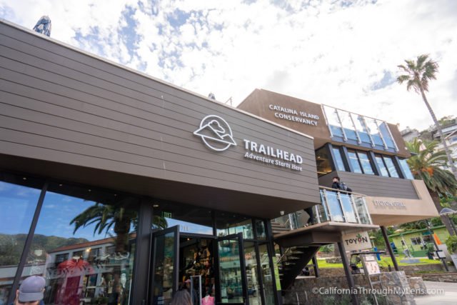
Since we had a lot of gear, we took a taxi from the ferry to our campsite and left all the gear; then, we headed back into town to get lunch and start the hike.

For lunch, we selected NDMT, which has excellent fish tacos and Scoops for some ice cream. We then headed over to the conservancy, which is the official trailhead, and began our hike on the TCT.
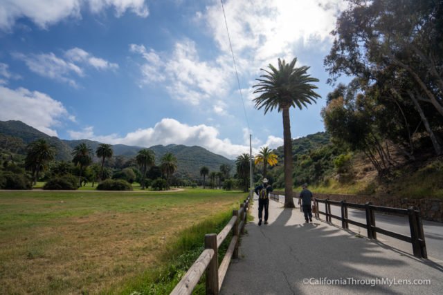
The hike from the conservancy to Hermit Gulch is only 1.5 miles with a gradual uphill. Many people choose to start the hike from the ferry and pass Hermit Gulch, but we wanted to take our time and explore Avalon a little bit, so we stayed at Hermit Gulch. On the way up to Hermit Gulch, we stopped by Vons to get last minute supplies as well.
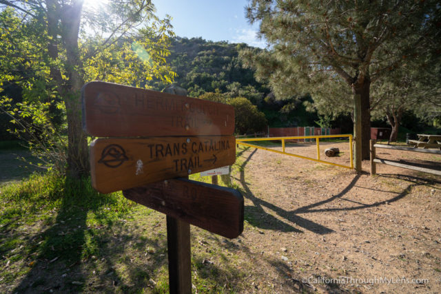
Eventually, we made it back to the Hermit Gulch Campground, set up camp and relaxed. It was a beautiful campsite, and it wasn’t busy in late February.
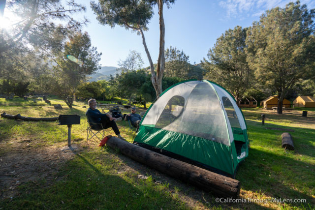
This was the end of our first day in the trail.
- Totals – 1.5 miles, 37 left to go.
- Campsite – Hermit Gulch
Day 2
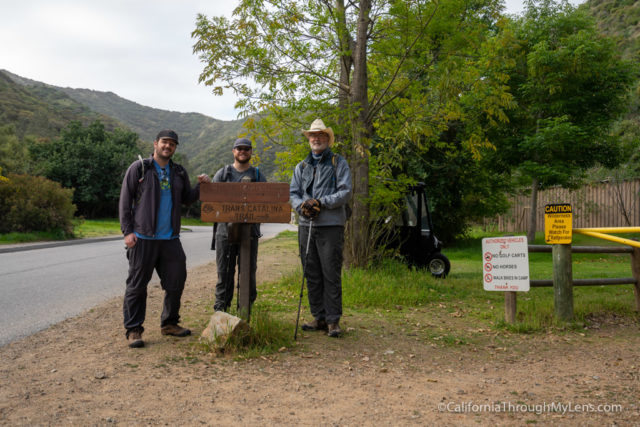
After waking up at 7 AM, we got all our gear packed up for Catalina Backcountry to pick it up. It was awesome turning the gear over and getting just to use day packs.
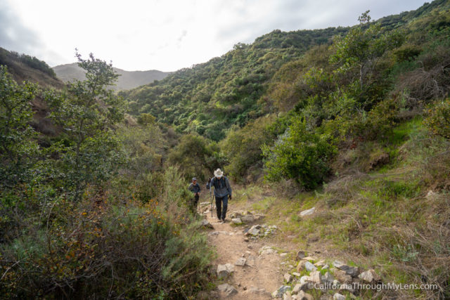
The hike then began at the end of the campground, and we proceeded to head up on switchbacks.

The beginning of the TCT is no joke, featuring a grueling 1,500 feet of elevation in only a couple of miles.

Luckily the trail is well maintained and has a good incline that is not too bad.
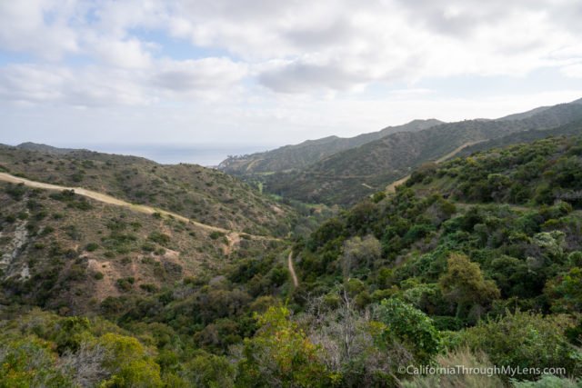
Along the way, the views just get better and better as well.
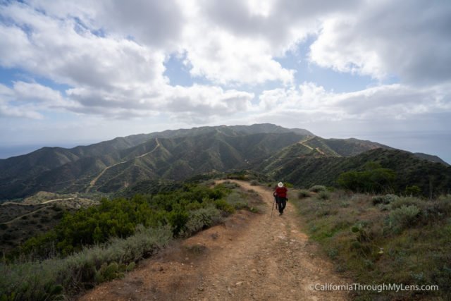
The trail continues to climb, and it is easy to follow, you just have to take your time. Note that there is not much shade on this portion or any portion of the TCT for that matter.
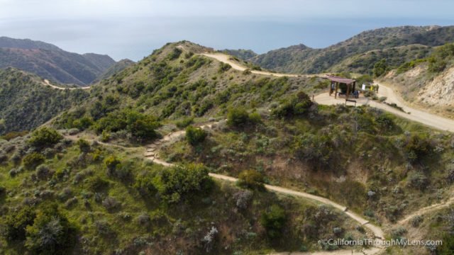
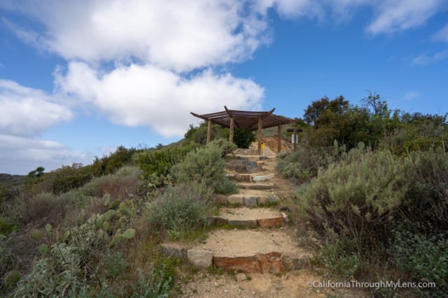
Eventually, you will reach the end of the climb on the Hermit Gulch Trail and will connect with the road. There is a great spot to rest right at the intersection of the Hermit Gulch Trail and the TCT.
Heading on, the trail here is nice and flat with fabulous coastal views for most of the next mile.
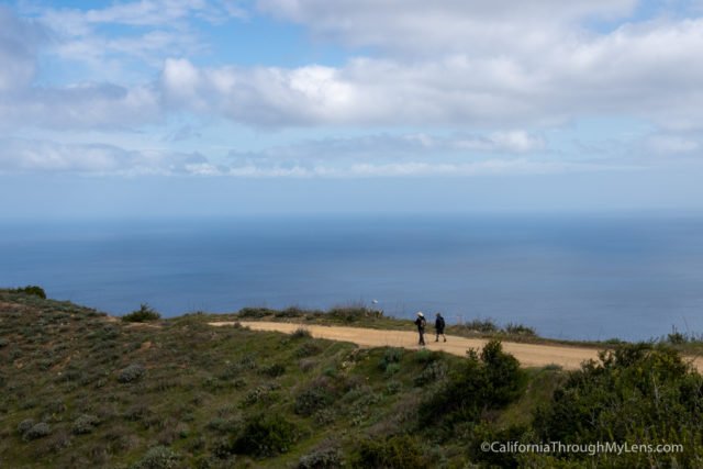
It was a welcomed escape from the uphill we had been doing from the campground.
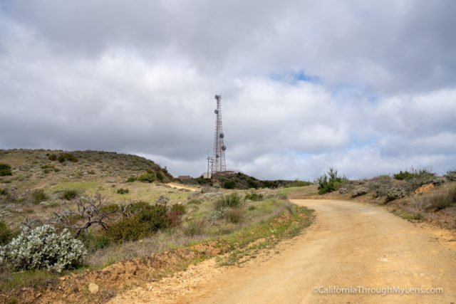
After climbing a small hill, you will pass by radio towers and head down towards the bison gates. These gates as used to keep the bison in one area, and you have to walk through them to continue.
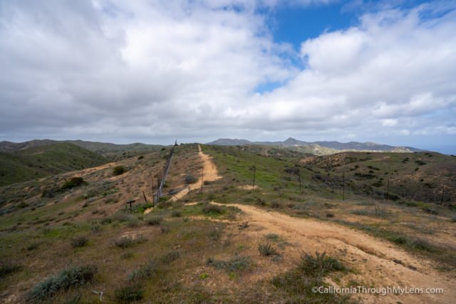
It does feel like something out of Jurrasic Park, and we hoped to see bison in the section but didn’t see one.
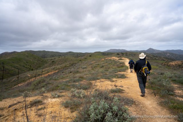
The trail then heads downhill to a small lake right next to a park.
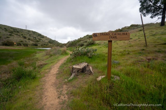
Don’t miss the TCT here as it heads out from the park around the other side of the lake.
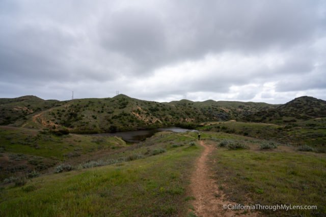
Here it starts to climb, and it gains a few hundred feet of elevation.
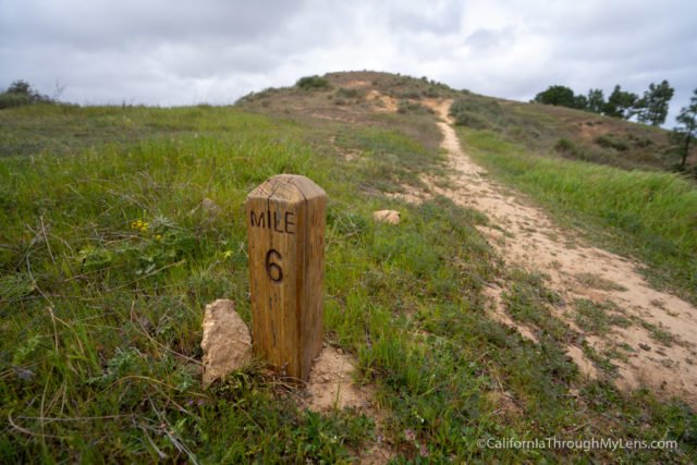
The trail is still beautiful, but the uphills start to get tough with no real switchbacks and just straight uphill climbs.
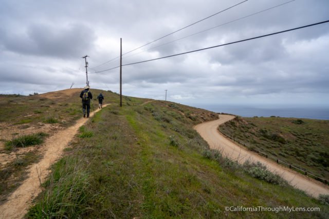
Eventually, the trail will connect with the road, and you will cross over it and be at another bench you can relax at.

Crossing the street once more, the trail bends and heads down into the back part of the island, and it seems like it is going pretty far out of the way here.
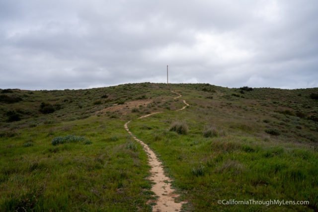
It also starts the first of three good uphill climbs you have to do to get to Blackjack Campground. Don’t underestimate the last few miles getting to Blackjack it is way harder then you would think.
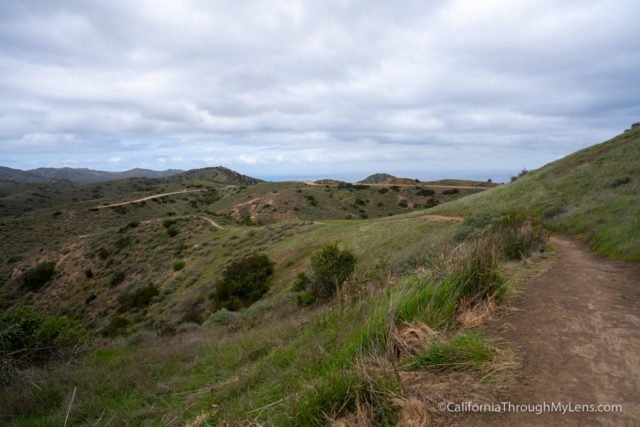
When this section gains its elevation, you will immediately start to head back down again; losing elevation on the way back to the road.
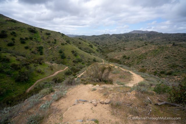
Eventually, you will get to the road, cross over, and start to go back up. Notice a pattern here?
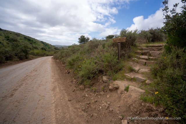
This uphill starts ok, but then it gets steep in the last half.
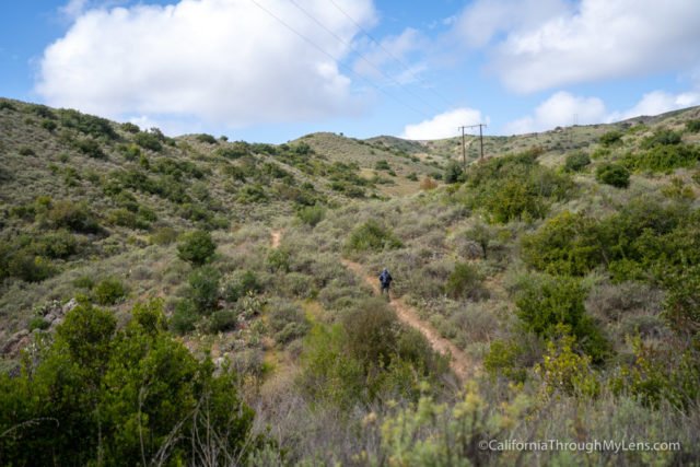
We took our time here as we were starting to get tired.
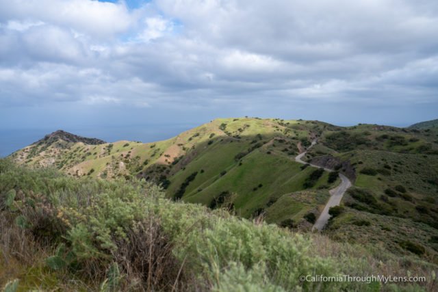
It then culminates in some great coastal views before heading back down again into the inner portion.
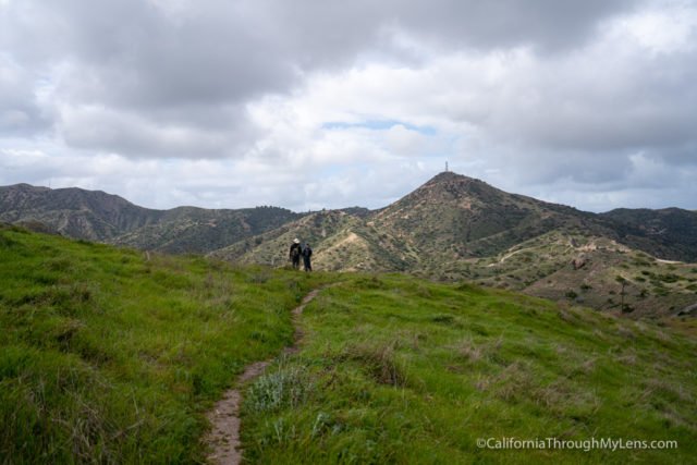
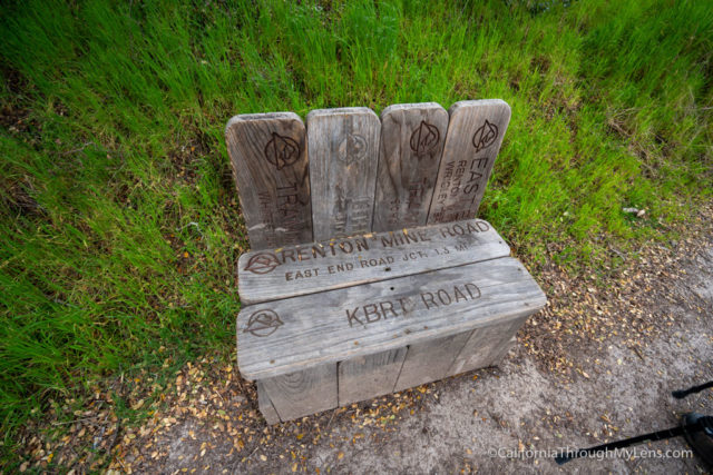
This downhill is steep, and I imagine it is tough if you were doing it in reverse. Eventually, we made it down and were greeted with a nice bench made of trail signs.
This area is a popular spot to see bison as well, but unfortunately, we didn’t get to see any during this portion.
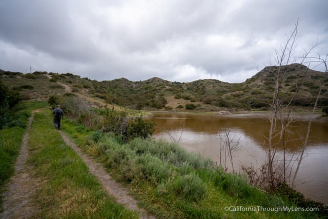
It’s probably the most beautiful section we saw during day one though, and I loved walking under the trees and around the lake.
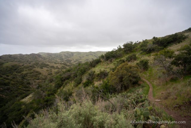
As we rounded the lake, we started the uphill one last time to Blackjack Campground.
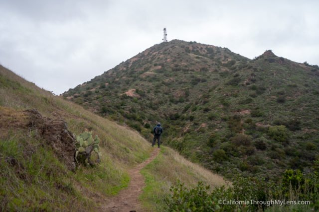
This was the worst uphill of the day, and it was tough with a very steep grade. Take your time on this one as you will need it. The uphill is especially brutal since there are no switchbacks, and it is directly up.
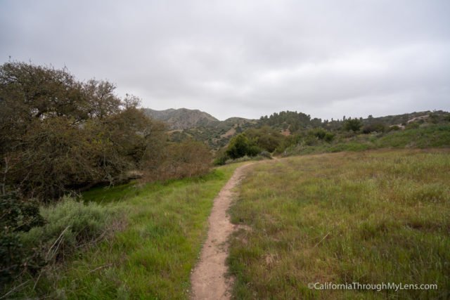
Eventually, you will make it to the ridge and can start the flatter portion that leads you up and over a small hill to your first view of Blackjack Campground.
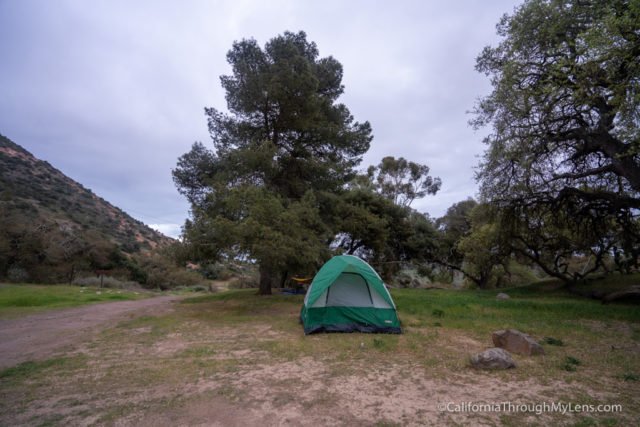
As we arrived at the camp, it started to rain on us lightly, so we rushed in to set up our tent. It wasn’t bad, and we were able to escape the rain, make dinner and retire to our tent, ending our first real day of hiking on the Trans-Catalina Trail.
- Totals: 10.7 miles hiked (9.2 today)
- Campground: Blackjack
Day 3
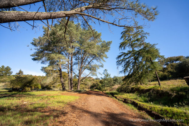
Day 3 on the TCT began with waking up to the wet tent from the previous night’s rain and finding a place to hang dry our tent in the sun before starting our adventure.
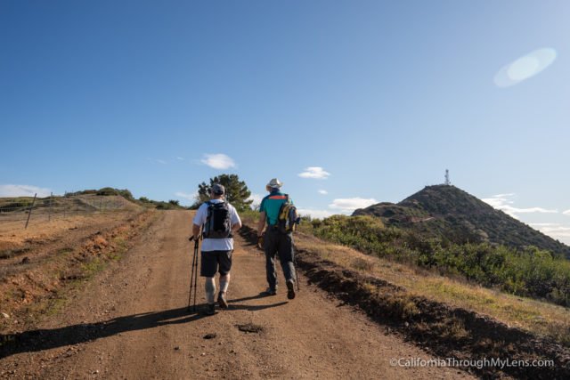
This was the longest day on the trail for us at over 14 miles, and it ended up being a full day where we got to camp after it was dark, so consider that if you do the trail the same way we did.
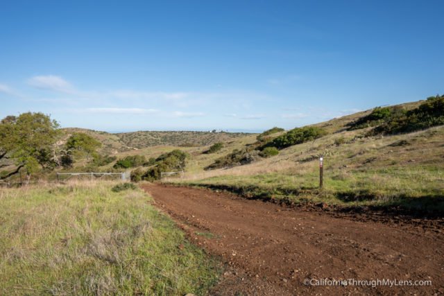
We left the campground and immediately went uphill to connect with a dirt road and to take it to a split, which would take us down into a canyon and up to the airport.
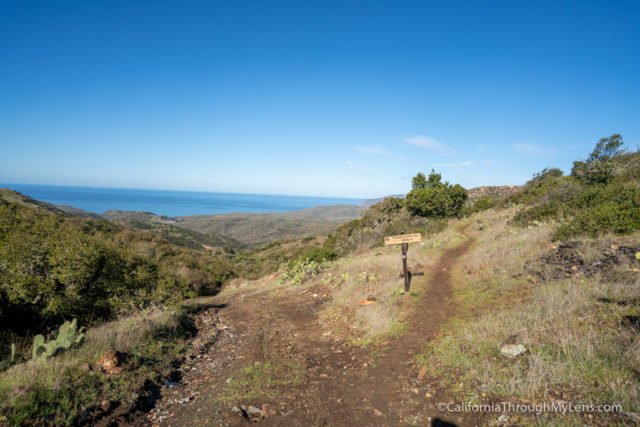
Getting to the airport was about 2 miles of downhill and uphill and around 300 feet of loss and gain. It was a pretty steep trail, as most of the TCT is, but it had some excellent views of the interior portion of Catalina Island, plus it had the end goal of a nice hot breakfast at the airport cafe.
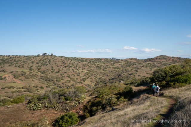
We kept our eyes peeled for bison in this section as we were told that they like to hang out by the airport, but we didn’t see any. Getting to the bottom of the small canyon meant that we had to start the climb out. This climb was a good way to get the blood moving on relatively steep terrain, but eventually, the airport came into view.
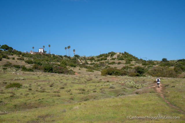
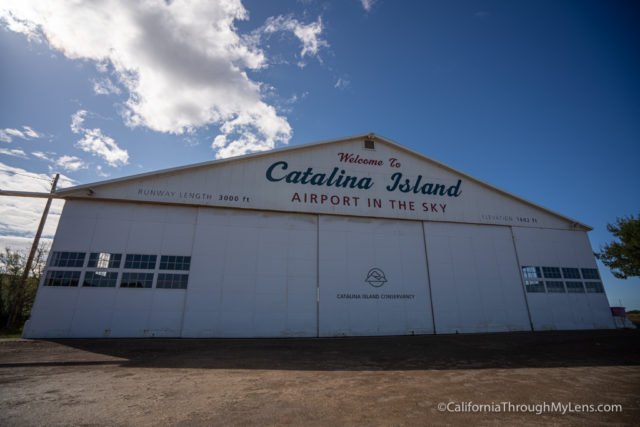
The trail takes a roundabout way to the airport, and you will reach a split that brings you to the driveway for the airport and cafe.

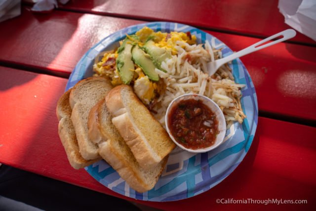
The cafe is open pretty much every day (but do check the hours before you go). When we got there, it was 9:45 AM, and they were still serving breakfast, so we all got the three egg scramble.
It was a lot better than the backpacker food we had been eating with scrambled eggs, hash browns, and toast.
Also, don’t leave without getting their “killer cookies.” I ate one while I was there and took another for the day’s hike. They really are great.
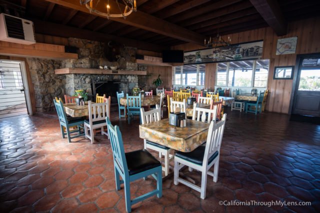
After relaxing at the airport, we left to start the hike down to Little Harbor.
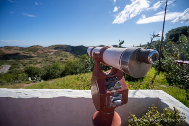
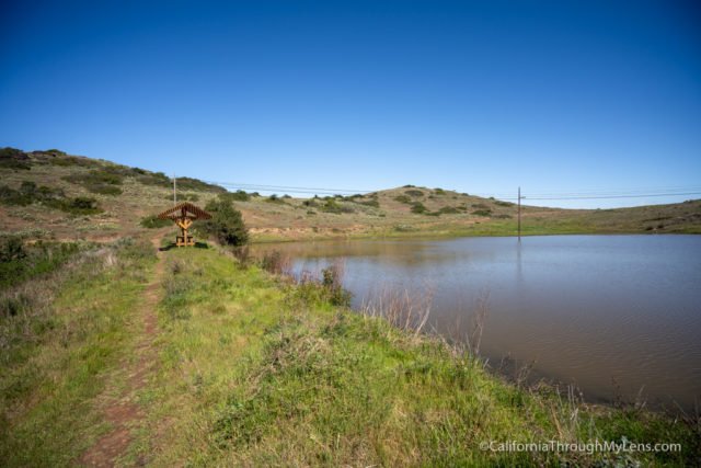
The trail starts by heading downhill and crossing two more small lakes before meeting up with the dirt road.
I had seen that this part of the hike was all downhill, but that was taking the Sheep Chute Road route, which is not part of the TCT. So at the split for Sheep Chute, we stayed on the TCT.
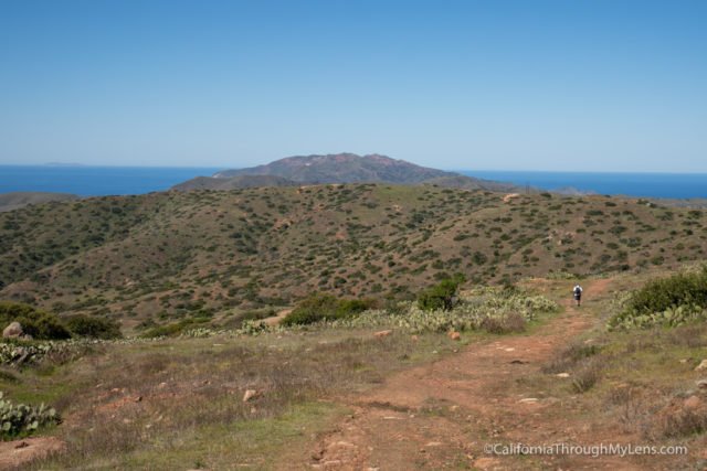
This part of the trail introduced us to another section of the island and eventually got us off the main road onto a single track again.
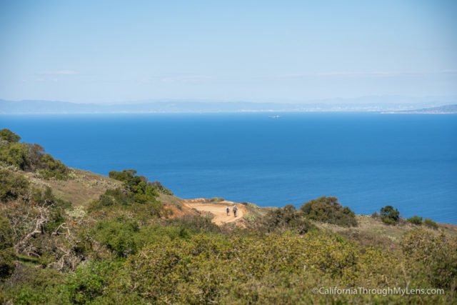
This trade off took us on a roundabout hike that had a decent amount of up and downhill and was more difficult than just taking the Sheep Chute Road.

The trail through here was pretty, and it felt nice to not be on the road. We even saw some excellent coastal views and got to see our first bison way out in the distance as well.
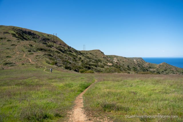
The trail then bent away from the coast and went across a ridgeline to bring us over towards the western portion of the island.
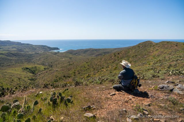
This area had some fantastic views since we were so high up and let us see two herds of bison roaming in the distance.
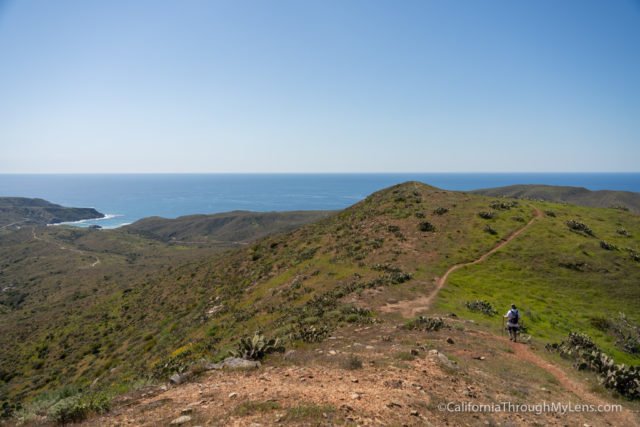
Once we got to the high point of this section is was 800 or so feet down to get to Little Harbor.
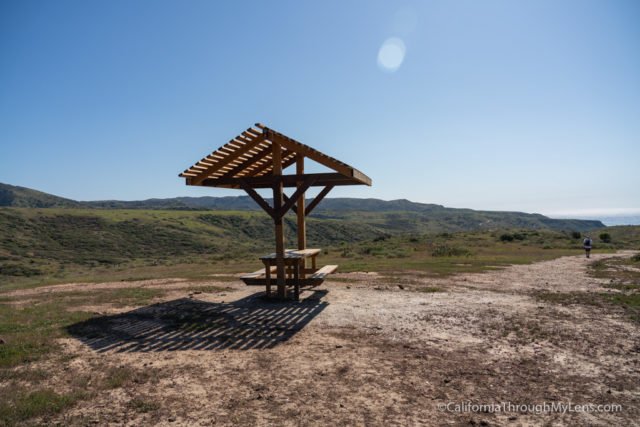
This downhill was not too bad, since it had a lot of beautiful views as you progressed. Eventually, you will start to flatten out, and there is a rest area with a bench and some shade.
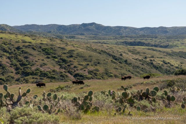
We continued past this rest area on our way to Little Harbor and ran into a group of eight bison.
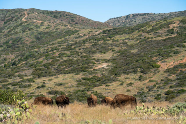
We had been told to be careful as they often chase hikers, so we gave them as much distance as we could. The main bison still stared at us the entire time though, which was kind of creepy.
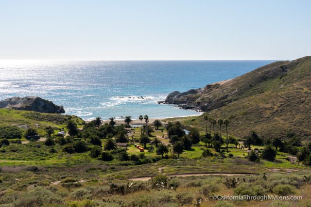
After passing the bison, there was one more downhill to Little Harbor.
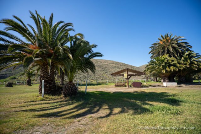
Little Harbor is a stunning camping area that is situated in a fantastic cove.
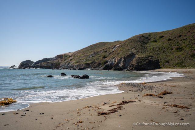
If I could do this over again, I would probably have stayed here as it was stunning, but there is always next time. We ate our lunch and explored a little bit before starting the most beautiful and one of the toughest portions of the hike, heading over to Two Harbors.
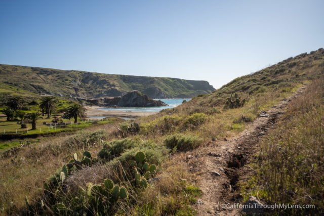
As you leave Little Harbor, the views down to the cove are crazy, and you can get some great ones as you proceed up the switchbacks (the only switchbacks on this section).
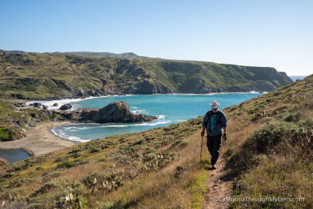
Passing the switchbacks leads to an incline that gets tougher and tougher as you progress. The total gain here is around 1,200 feet.
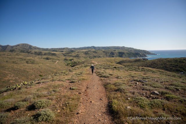
It wouldn’t be as severe if there were more switchbacks, but instead, the trail is just an uphill grind on loose rocks, which is pretty tough.
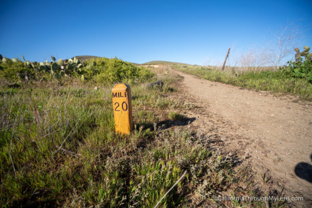
This is also where the trail crosses mile 20, meaning you have passed the midpoint of the trail.
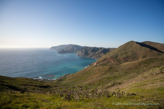
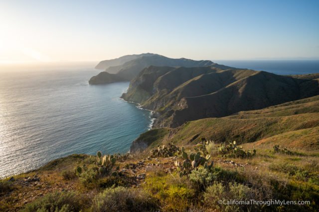
This section easily has the best views of the hike though, with the undeveloped west side of the island looking like something you would see in Hawaii.
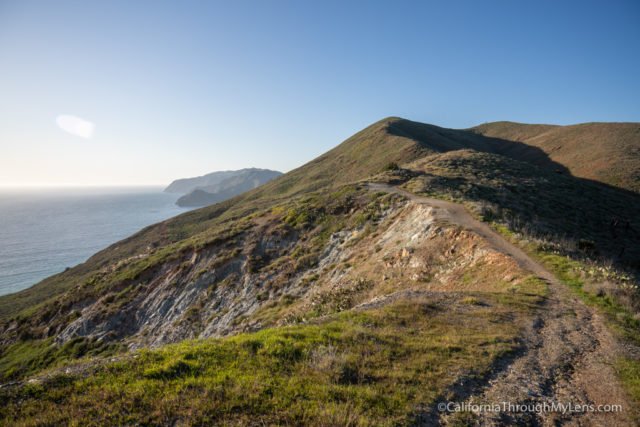
We continued to climb and eventually got to the base of the last uphill portion, which was the worst. This section had you walk up an incredibly steep ridgeline with significant drops on one side and loose rocks along the entire trail.
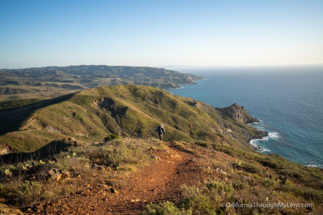
It was pretty tough, but when you got to the top, the views were gratifying. This section took our group a while, which is why we got to the top as the sun was beginning to set.
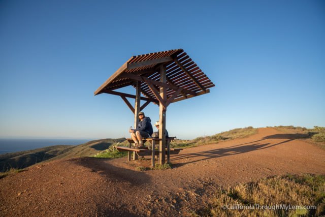
We rested at the bench that they have at the top for a bit before starting the downhill, which is about 1,200 feet down to Two Harbors below.
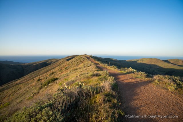
The downhill is almost as steep as the uphill, and it is on a rough dirt road as you descend.
We did this as fast as we could since the sun was setting, and we didn’t want to get caught in the dark. It was beautiful to see the island from here though.
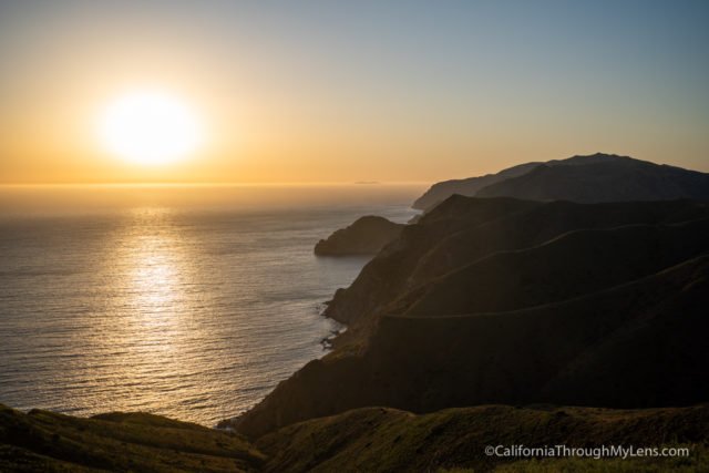
Eventually, the trail crosses through a bison gate and begins the final descent into Two Harbors.
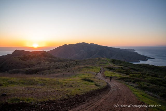
We even got to see the second harbor on the west side at dusk, which was pretty cool.
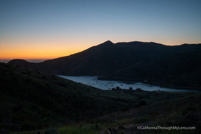
It was dark as we made it into town, and it was challenging to find where the campground was in the dark. The campground ended up being on the right side of the pier, so we walked down there and were greeted with a tenth of a mile uphill climb to get over to the campground.
We found our spot in the dark and set up our gear with the sound of the waves crashing since we were right next to the water. It was a long and grueling day, but it was very rewarding as well. I feel like that is an excellent way to describe the trail, rewarding yet very hard with the way the trail is laid out. That ended day 3 for us.
- Totals: 24.2 miles hike (13.5 miles today)
- Campground: Two Harbors
Day 4
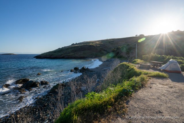
After the long day that we had on day 3, we got up a little later and took our time getting ready to leave for the day.
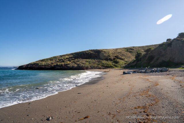
We had gotten into camp when it was dark, so it was awesome to see how beautiful the campground was during the day with its magnificent beach views.
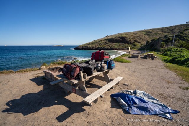
After packing everything up and leaving it for our gear haul, we headed into Two Harbors. There we stopped to check in for Parsons Lansing and to pick up some supplies from the general store.
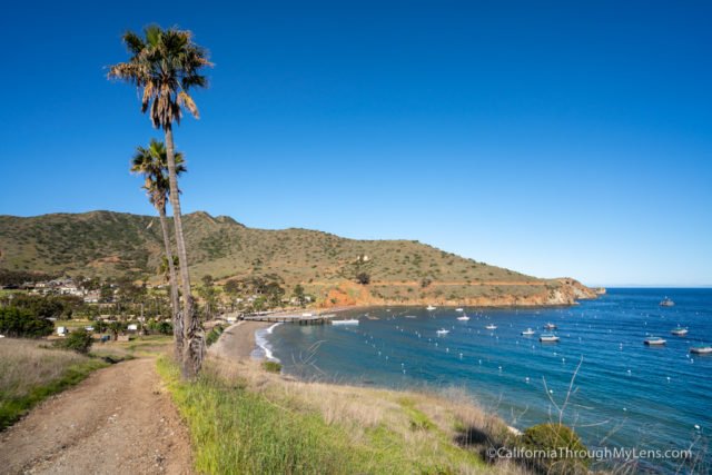
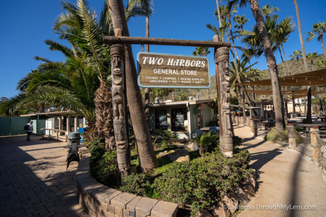
The general store is great for all of those last minute food and drink items, and I was surprised by how much they had.
Leaving Two Harbors, there are two ways to get to Parsons Landing. Most people elect to walk the road since it is flatter and better for carrying a large backpack. My dad did this route.
Jerrod and I decided to do the secondary way though, which is on the TCT and goes up over Silver Peak and down to Parsons Landing.
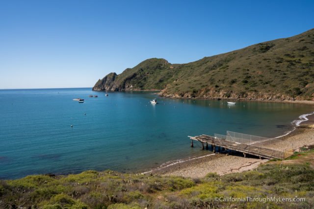
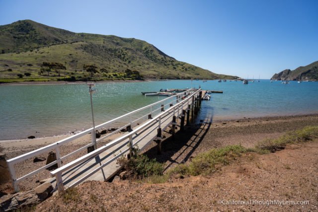
We left Two Harbors and walked along the road that took us to the back harbor. It was refreshing to see this area, and it was beautiful, with fewer boats and fewer people.
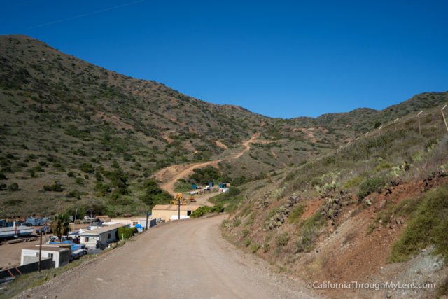
After passing the seaplane airport that they were working on, we headed up on the trail.
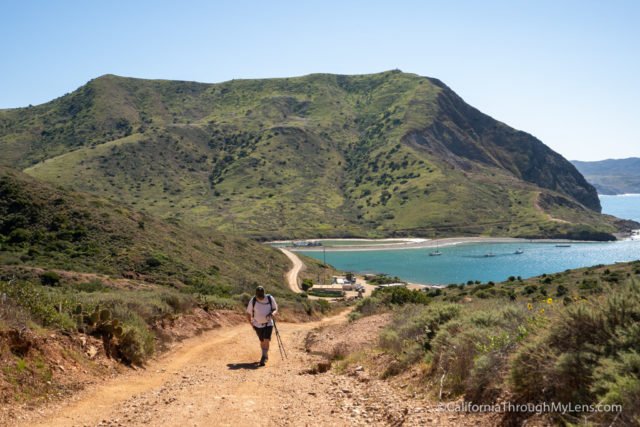
The trail is about 1,700 feet in 2 miles, and it is easily the hardest thing we did on the TCT.
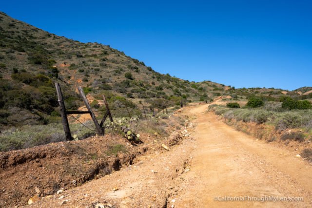
The grade is very steep at over 20% incline most of the way, and there is very little shade. You will pray for a switchback here.
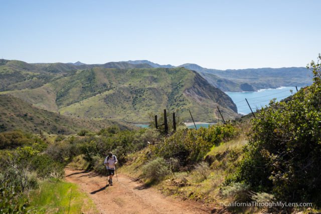
You are also walking a dirt road and not a trail, which makes it a little less fun as well.
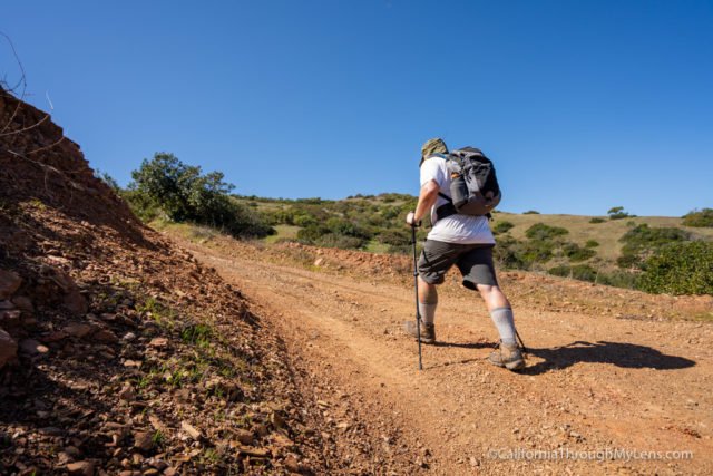
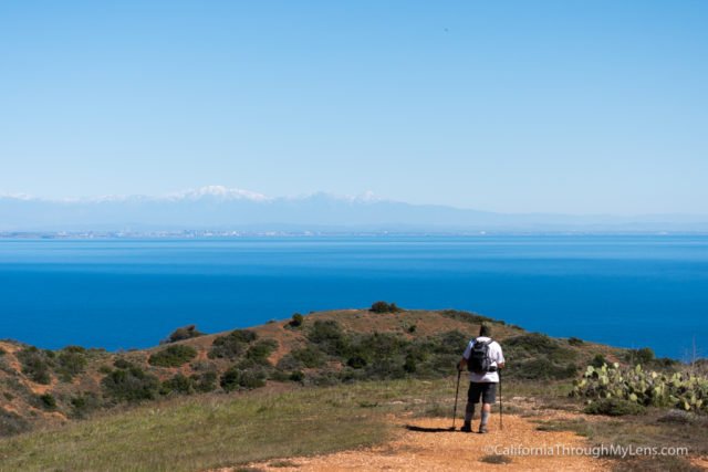
As you go up the crazy grade, the only thing keeping you going is the views out towards mainland California.

It was so clear when we went, and you could even see snow on Mt Baldy.
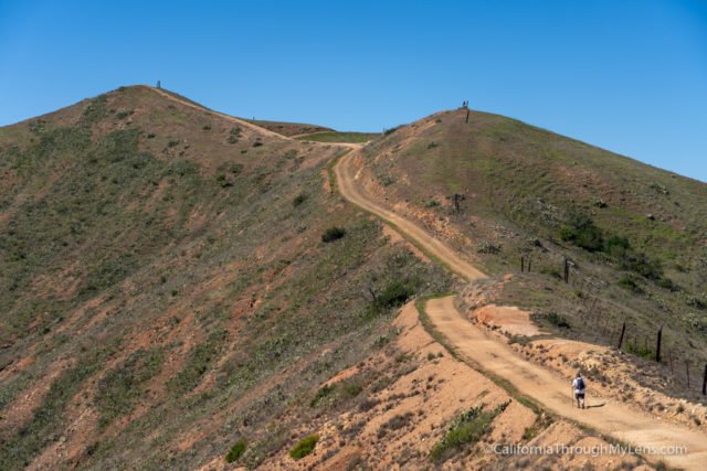
Eventually (after at least 1.5 hours), we made it to the high point.
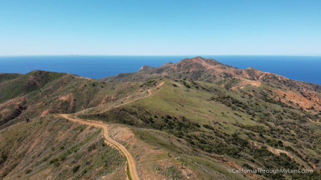
The views of the island from here were awe-inspiring, and we just soaked it all in while eating lunch.
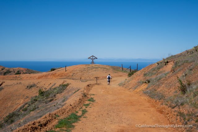
After that, we walked along the ridgeline for about a half mile until we got to another rest spot with fabulous coastal views.
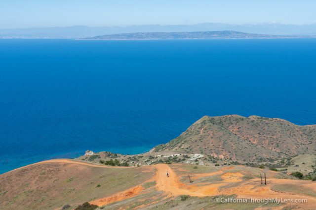
From the rest spot, the downhill gets crazy.
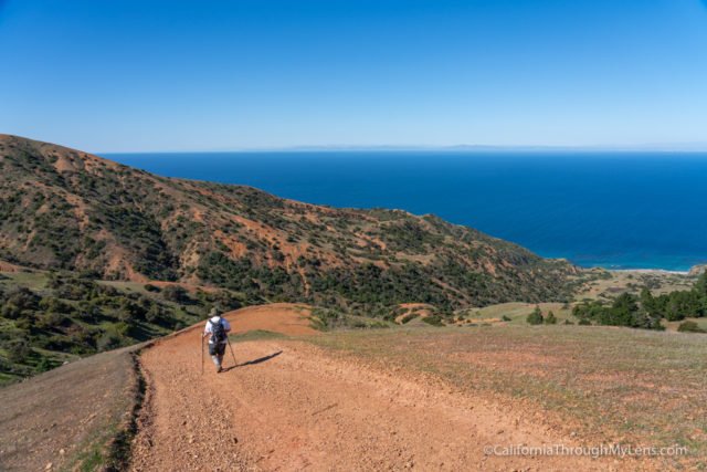
Jerrod and I nicknamed this area roller coaster ridge as some sections were so steep that you couldn’t even see where they went as you walked up to them, much like the pre-drop part of a roller coaster.
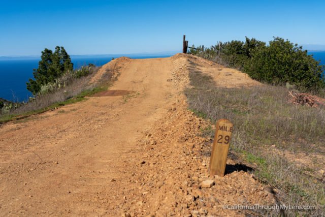
I can’t imagine walking this with a full pack, and I would probably just take the road if I were you, but I am sure people do it all the time.
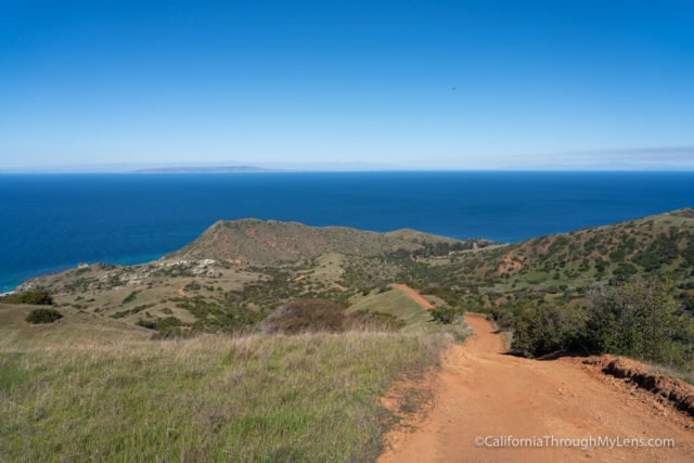
We continued down the steep descent as we made our way towards Parsons. Eventually, the trail started to flatten out a little, which gave us a welcomed break.

Shortly after this, you come to an intersection where the TCT bends to the left and goes around a few more turns before arriving at Parsons Landing. While this section from Two Harbors is only about 6 miles, it took us over 4 hours.
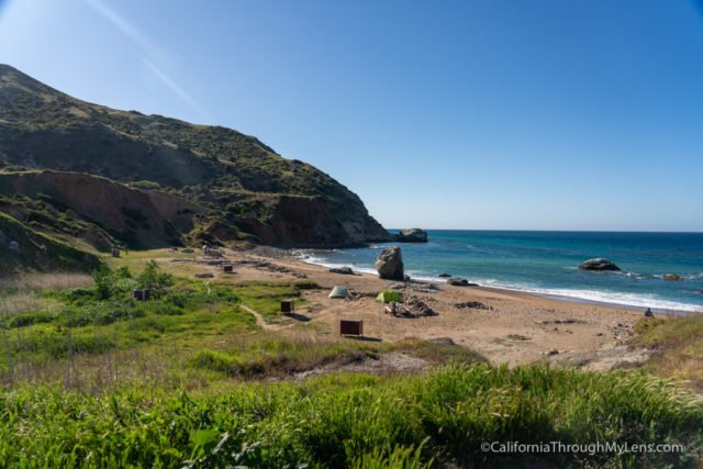
Arriving at Parsons Landing made the trail seem worth it though. The campground has nine spots nestled in a beautiful cove. We had campsite two, which was a great choice. It was secluded and had a lot of space.
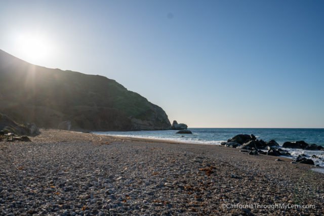
I took the opportunity to put my feet in the water before unpacking the gear that Catalina Backcountry hauled for us. I have to give them a special shout out here as I had a popped air mattress the night before, and they brought me a cot to use for my last night! Plus, they brought us beers to celebrate our journey with; such a top-notch crew that I enjoyed working with.

The rest of the day was setting up the tents, making dinner, admiring the views, and having a campfire. You can have a campfire here; you just have to pay for your firewood in advance, along with the water they supply (since they don’t provide water).
It was a great day four on the trail, and I was sad to have to leave and head home the next day.
- Totals: 30.8 Miles (6.6 hiked today)
- Campground: Parsons Landing
Day 5
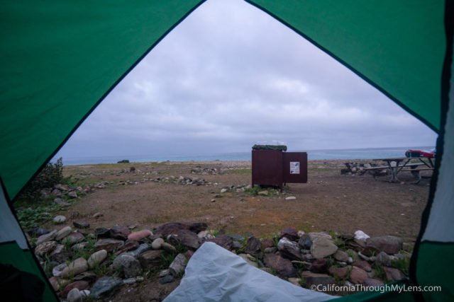
On day five, we woke to the sound of crashing waves and the sunrise. It was amazing to be able to zip open the door to the tent and see the ocean in front of us.
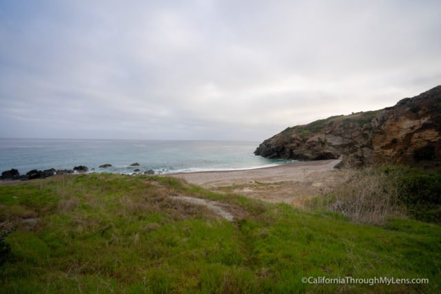
We had to be at the ferry by 11:30 AM, so we got up at 6 AM, made coffee, and prepared all the gear for Catalina Backcountry to pick up, before leaving at 7 AM for the hike back to Two Harbors.
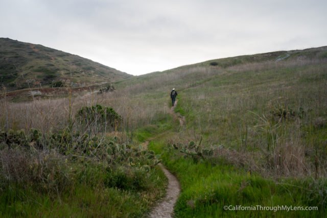
The hike to Two Harbors was only 7 miles, and it was just rolling hills with not a ton of elevation loss or gain. It was an excellent way to end the trip after the two difficult previous days. The trail began by leaving Parsons Landing and heading up a single track where you gained the most elevation of the day. It was only a few hundred feet though, and it got the blood pumping on the cold morning.
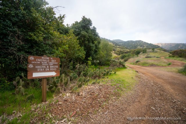
From there, the trail is just a dirt road all the way back to Two Harbors. The road you are walking has beautiful coastal views with many different coves and campgrounds that you pass along the way.
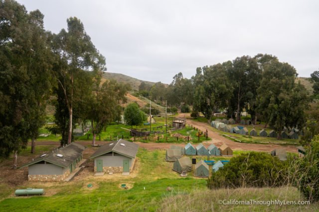
The first campground we saw was one for the Boy Scouts that had a pirate ship in the middle, which was pretty cool.
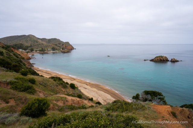
The road is not very direct in this portion either, and you have to go around the camps hugging the mountainside, which makes distance that should be a quarter mile over a mile.
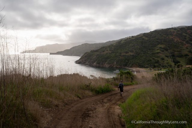
It is not bad though, especially if it is in the early morning since it was refreshing for us during the walk.
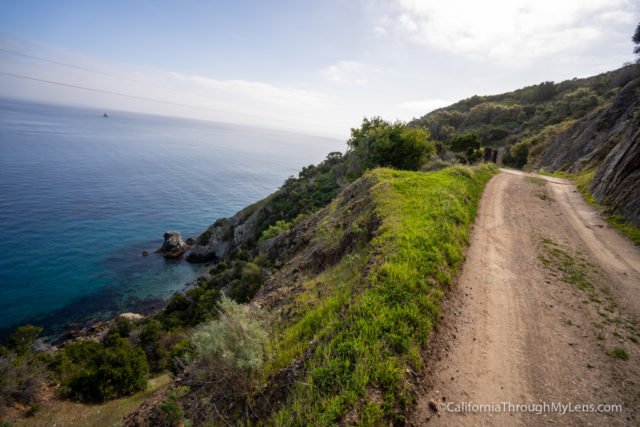
Eventually, the trail will get to the last of two large bends, and there will be a pit toilet and a bench to sit at.
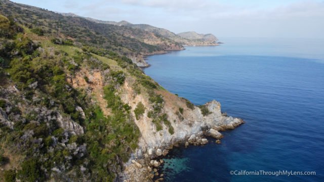
This was my favorite coastal view along this portion of the trail, and we sat here a while to soak it all in.
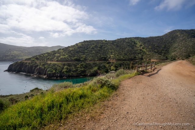
From there, it was just more walking along the road to finish the last mile and a half of the trail.
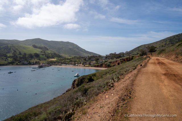
When we rounded the bend, and Two Harbors came into view, it was both exciting and bittersweet. This had been a tough trail, so it was nice to get it over with, but it had been a fun adventure that I didn’t want to end.
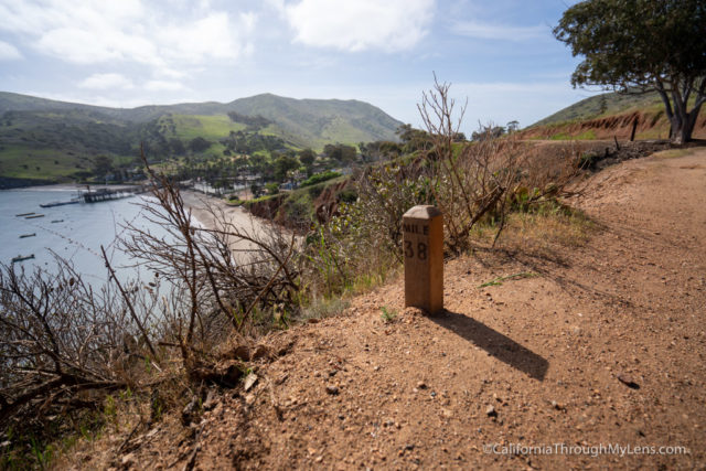
When we made it back to Two Harbors, we celebrated with a trip to the general store, where you can get all sorts of food and drinks. I got a beer and some snacks to eat while waiting for the ferry to come in.
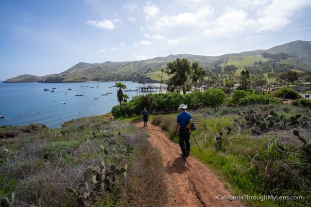
It was also amazing to see Catalina Backcountry roll up with our gear about 30 minutes before the boat left, and we just had to pick it up from them and carry it onto the boat.
- Totals: 38.5 Miles (7.7 miles today)
- Campground: Home
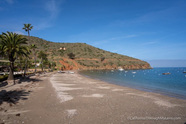
The Trans Catalina Trail was much more difficult then I thought it would be. It featured a lot of elevation gain and some truly tough uphill sections with no switchbacks and steep inclines. That being said, it was also a stunning adventure on an island off the coast of California. One with bison, beautiful beaches, and sunsets I will never forget. If you are up to it, the TCT is a great adventure, just be sure you are prepared physically and made still consider the gear haul. Let me know what you think about this trail in the comments.

