Hiking Lassen Peak: Lassen Volcanic National Park
I have always wanted to hike Mt. Lassen in the Lassen Volcanic National Park (part of the Cascade Range), so we made it a point to make the trip to the park over Labor Day Weekend (in 2011). We headed out for the hour drive from Red Bluff and made it to the park around 8 AM. There were only a couple of cars at the trailhead when we arrived, and the five-mile hike was steep but it led to some fantastic views. It’s one of the best payoffs you can have on a 5 mile summit hike in California. Here is all the info if you want to hike it yourself.
Details
- 5 miles round trip
- 2,000 feet of elevation
- Large parking area but it can fill on holiday weekends
- I did this hike in 2011 and 2018
Getting There
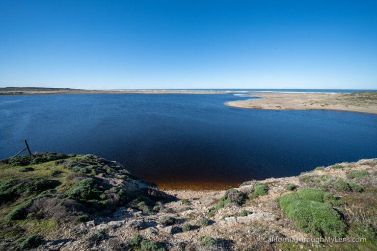
Lassen Peak is located pretty much right in the middle of the park. If you are coming from the south entrance, then you can’t miss it as you will see the fantastic Lake Helen before you get to the trailhead. I recommend stopping at Lake Helen first as the views right from the road are amazing. After that, you will continue about a half-mile and be at the trailhead.

Video
Here is a video I made of the hike in 2018.
The Trail
From the parking lot, it is about 2.6 miles to the top of the summit, and while that might not seem like a lot, the elevation gain is over 2,000 feet, and it ascends from 8,000 to 10,500 feet. We saw kids, adults, and elderly doing the hike, so anyone can do it as long as you pace yourself and stop when needed. It took us about an hour and a half to make it up to the summit and about three hours total with hanging out at the top and then descending.

The hike up to the summit is very straightforward with a well laid out trail that pretty much goes uphill the entire time. One of the first points of interest you will pass is Vulcan Eye, which is carved into the rocks in the distance.
The trail switches back and forth all the way up, even employing some stairs as you get to the steeper sections.
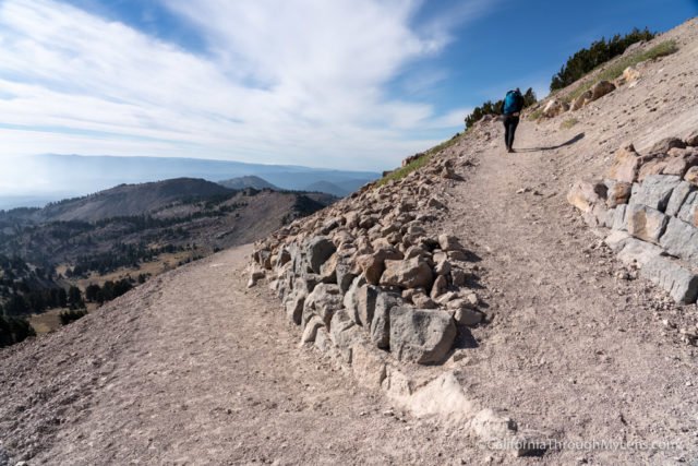
Also, note that every time I have been here, it has been crazy windy, so bring an extra jacket. Since this hike is so short, you do a lot of elevation gain with each mile you hike.
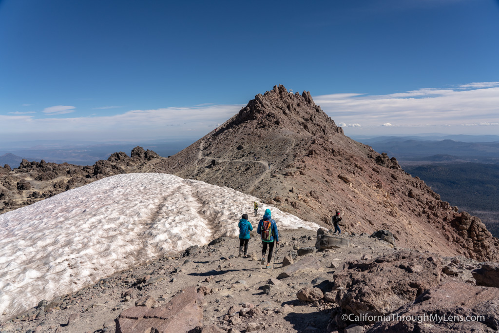
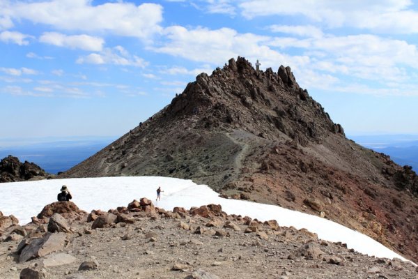
Eventually, you will be at the flat area right before the summit, which has had snow each time I have been. After crossing that section, you will make it to the summit.
The Summit

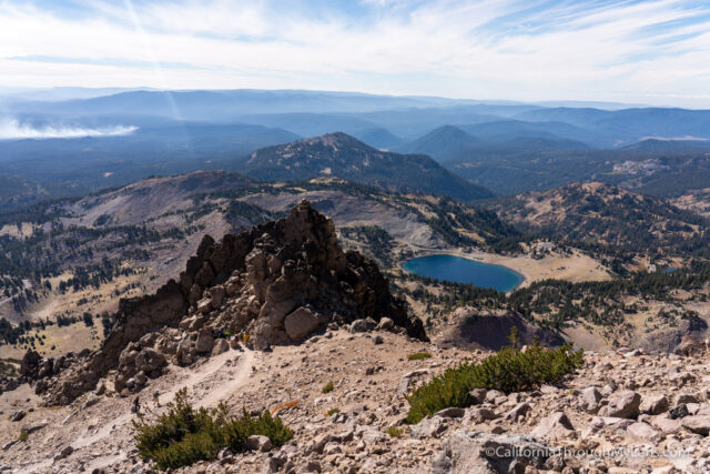
From the top, you can see all the way to Mt. Shasta as well as many remnants of volcanic rock and other exciting sites in the park. Lassen Peak erupted in 1913, and it is one of only two continental US mountains that erupted in the 20th century. When it exploded, it rained ash as far as 200 miles away, and you can see it in the way the surrounding terrain looks.

Take in the views from up here as they are utterly incredible.

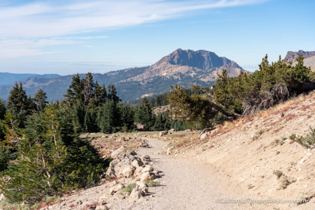
This is the view looking back at Brokeoff Mountain while near the summit.

Lassen Peak is a stunningly beautiful hike, and the views make it one of the best summits I have done in my life. I would highly recommend it to anyone, and even though you might hate me on the way up, you will thank me when you reach the summit.
Read this post