Captain Jacks Stronghold in Lava Beds National Monument
Lava Beds National Monument is an accessible location for caving in Northern California that also holds a lot of historical significance as well. The history relates to those that lived in this area, mainly the Native American population and their interactions with the settlers. One of the primary historical points of interest is the Captain Jack’s Stronghold area, and here is all the information if you want to visit.
Details
- 1-mile round trip
- 50 feet of elevation
- Location: Lava Beds National Monument
- This information is from my visit in 2019
- Read about the entire park here
Getting There
From Highway 97, you will want to head to the Oregon border then go east on Highway 161. From there, turn right on Hill Road and take it down to the entrance to the park. When you get to the park, head left, and you will go by the Canby Cross then arrive at Captain Jacks Stronghold on the right. There is a small parking lot there.
History
Here is a little history from Wikipedia:
During the Modoc War, Captain Jack’s band settled here following the Battle of Lost River. With only 53 warriors and numerous women and children in their group of 160, they held off for several months a United States Army force outnumbering them by as much as 10 to 1. The Modoc’s used the lava beds as a defensive stronghold because of the rough terrain, rocks that could be used in fortification, and irregular pathways to evade pursuers. They were eventually defeated after many attempts over six months when their water supply was cut off, and they were forced to leave.
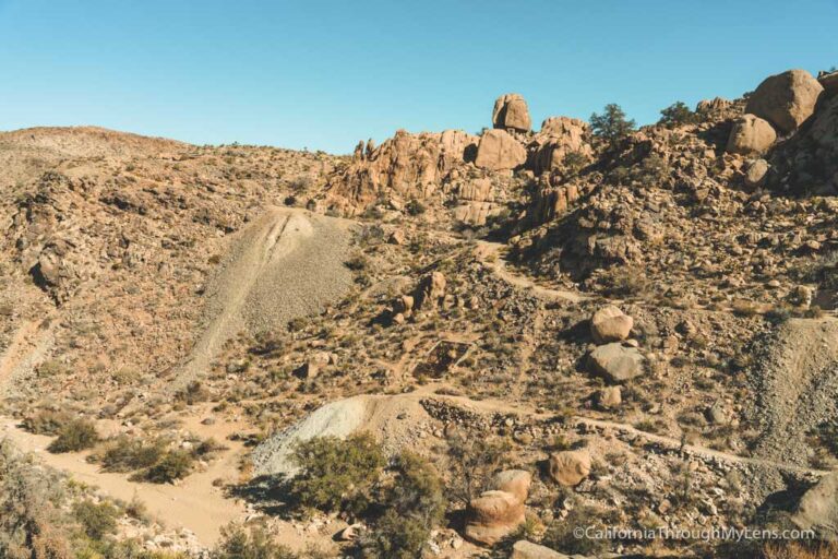
The Trail
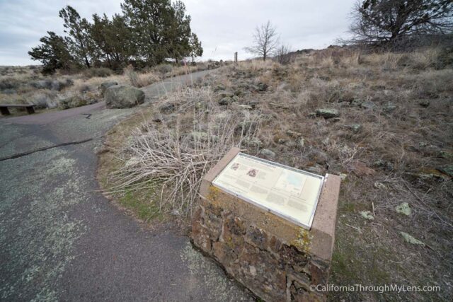
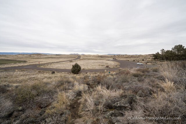
From the parking area, the trail heads out from the central information plaque.
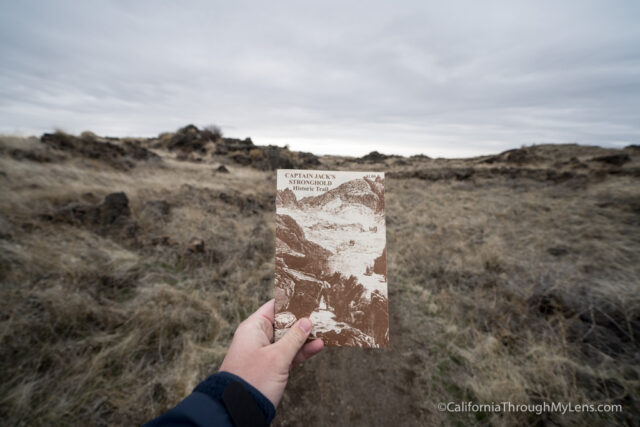
You can pay a dollar to get an information booklet here that tells you more about the history and corresponds with numbers on the trail. I recommend you get one as you will learn a lot more about what you are seeing.
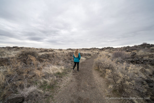
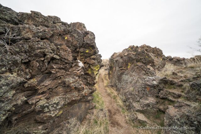
We followed the use path for the first 1/3rd mile, and it was relatively flat and not super exciting in the beginning.
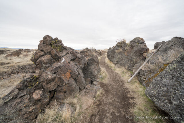
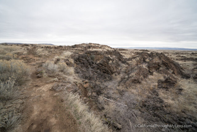
Eventually, the trail entered a portion where the rocks were taller then we were and there were tons of small caves and crevices that allowed you to see how people could hide.
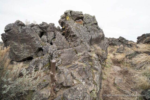
It was fascinating to walk through here and read information from the book on the battles and how the Native Americans survived in this sparse landscape.
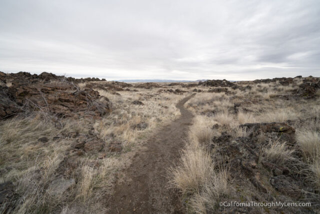
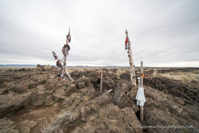
The terrain changed again at the end with lots of deeper holes that the path went around as it worked its way back to the parking lot.
While the trail is not as exciting as the caves are, it is still a fascinating place to explore in the park. Be sure to grab an information booklet and to read it as you make your way along the path. Let me know what you think in the comments.
Lava Beds National Monument
Tulelake, CA 96134