Cerro San Luis: Hiking “Madonna Mountain” in San Luis Obispo
San Luis Obispo is a fun town located between the coastal communities of Pismo Beach and Morro Bay. It is a great spot to spend a few days with lots of shopping and places to explore, like the Gum Wall, Madonna Inn, and Bishop Peak. On a recent trip, we decided to hike to Cerro San Luis, which is one of the nine sisters (nine volcanic mountains ending at Morro Rock). The hike is a great way to get the blood pumping and to get an excellent view of the city and the mountains surrounding it. Here is all the information.
Details
- 4 miles
- 500 feet of elevation
- Location: Trailhead is at the Charles A and Mary R Maino Open Space area
- This information was from my visit in 2018
Getting There
From Highway 101 South, you will want to get off on Marsh Street and turn right, make another quick right on an unmarked dirt road and you will see a small parking area next to the trailhead.
The Trail
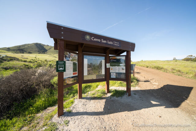
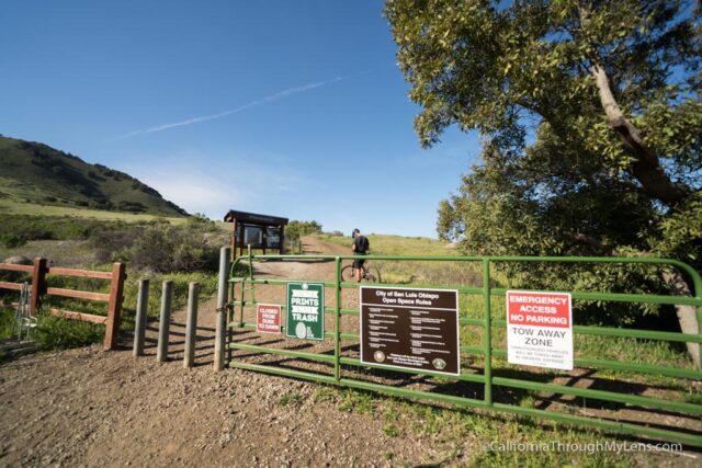
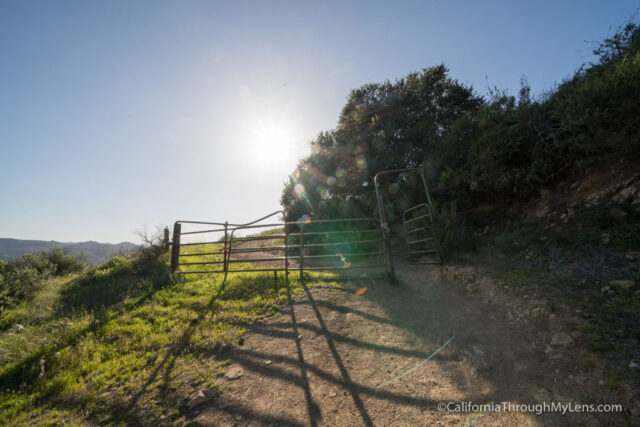
From the parking lot, you will head past the gate and the information plaque before starting the trail. I would recommend looking at the trail map as there are a few bends, and you want to make sure you take the correct ones.
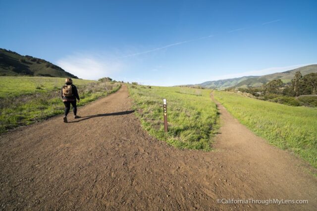
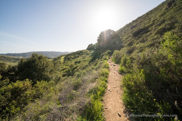
From here, the trail starts heading up, and it is actually pretty steep from the get-go. At the first split, stay left and head up through all the cactus dotting the sides of the trail around you.
The trail continues its steep uphill climb, take your time as you make your way up.
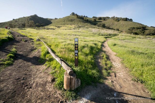
Eventually, it will hit another junction, and you will want to stay left on the M Trail. You will break from the M Trail as you get higher up, as this trail takes you to the large M that is on the mountain (which is why people call it Madonna Mountain even though that is not what it stands for). So if you don’t have as much time, you can always do that and not the summit.
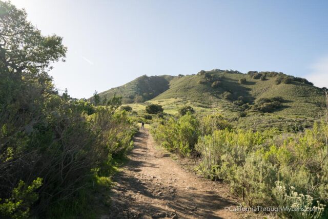
From here, the trail continues around the back of the mountain before crossing through another gate and then becoming a wide dirt road.
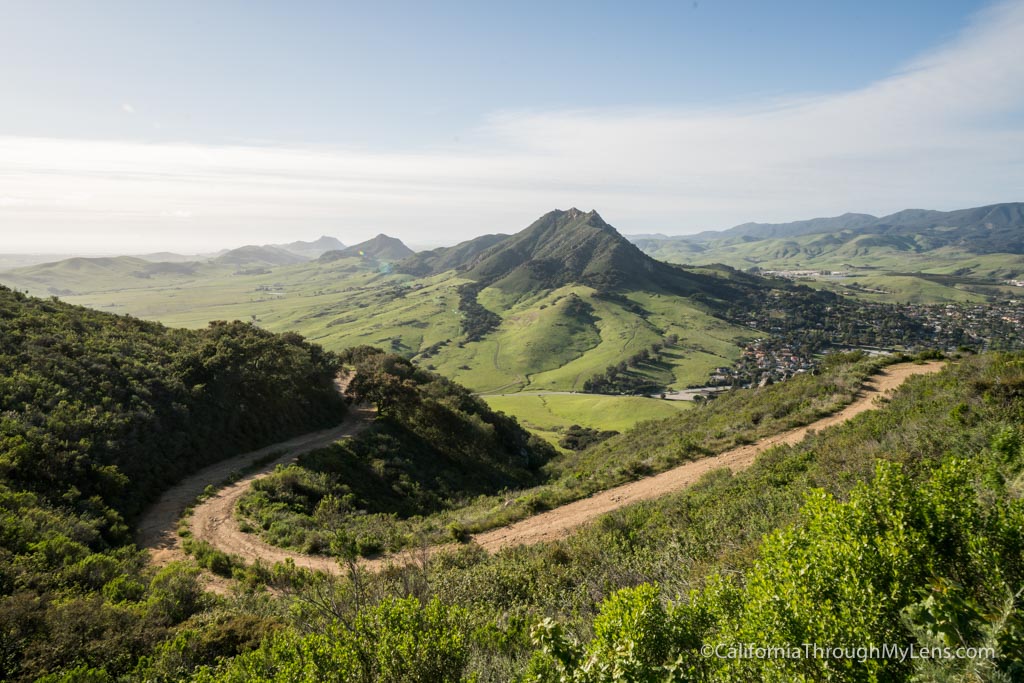
You will follow the dirt road the rest of the way up, so it is hard to get lost.
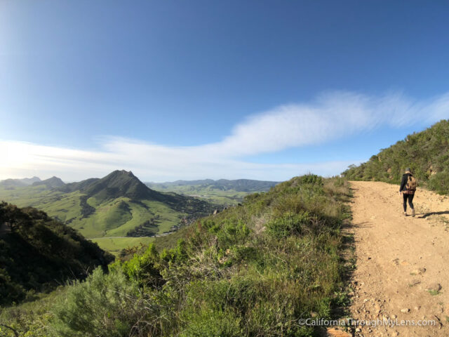
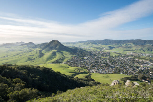
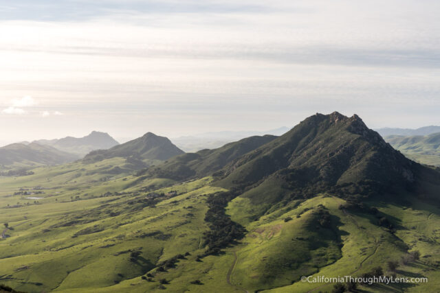
As the road continues to gain elevation, it gives way to beautiful views, especially looking west towards Bishop Peak.
The gradual incline is nice as you continue up, especially since the first part of the trail was pretty steep. The road continues to bend as it makes its way along the hillside.
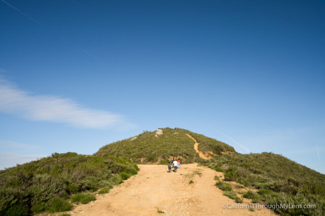
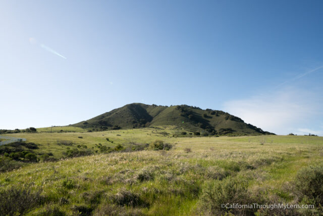
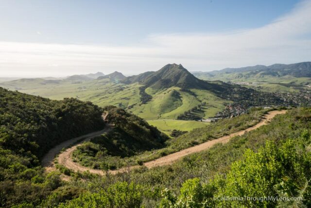
Eventually, it will split when you are close to the top, and a large hill is in the middle of the trail.
It doesn’t matter which way you go as both will take you around the hill towards the summit.
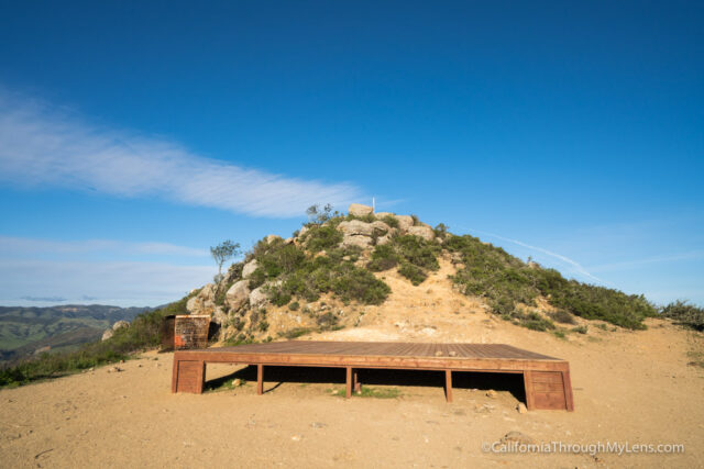
When you reach the base of the summit, you will be where they hold Easter service each year. We saw a large stage that was still there and the white pole that becomes a cross during the service.
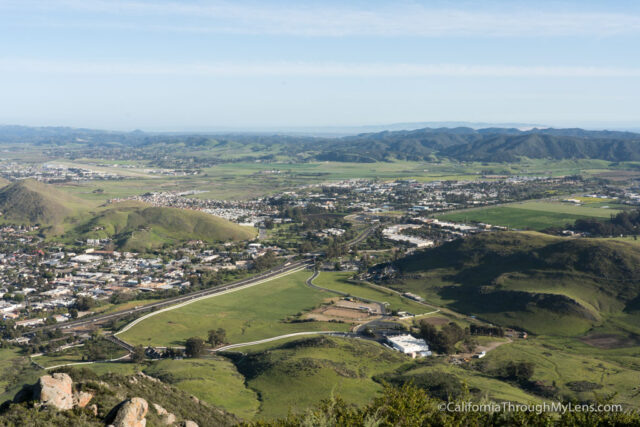
Walking up to the white pole is the official summit, and the 360 degree views are incredible.
It was crazy windy, so we didn’t stay too long, but it was a nice hike and one that I plan to do again. If you live in the area, it is an excellent training hike as well.
Let me know what you think in the comments and be sure to hike a few of the nine sisters like Bishop Peak and Black Hill if you are looking to do some more exploring in the area.
San Luis Obispo, California 93405