Hot Springs Mountain Fire Lookout: Highest Point in San Diego County
Located right in the middle of the Los Coyotes Indian Reservation is the tallest mountain in San Diego County, Hot Springs Mountain. While it is pretty far away from San Diego city, it is a worthy adventure with a great old wooden fire lookout right at the top. The trail is somewhat hard to find, but it is a neat little hike with a nice view. I headed out with Last Adventurer, and we explored our way to the top of what turned out to be a beautiful area, and we only got lost a few times! Here is all the information.

Details
- 5.5 miles round trip
- $10 park fee
- Information as of 2017
After getting to the Indian reservation, which is about 20 miles off the 15 freeway, you will need to stop at the small pay area and pay the fee before continuing into the park. This is also a great place to get a map and ask for directions as it is not easy to find the trailhead we took.
Getting There
Proceed through the reservation and past the first campground where the road turns to dirt. From there, you will continue up towards Nelson Campground. This campground is about 7 miles from the entrance in the northeast area of the park. It is located at a three-way intersection, and you can park right there and take the left trail to start the hike. This trail is on a four wheel drive road that is technically possible to drive on, but I would not recommend it. You will be on this the entire way.
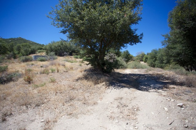
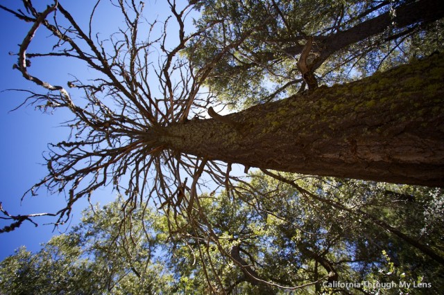
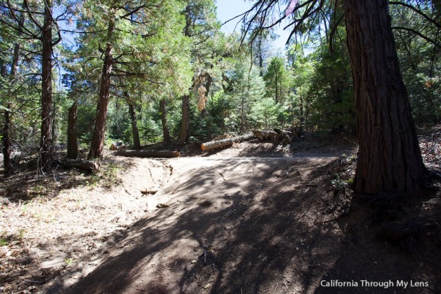
The trail immediately heads uphill and starts proceeding through the beautiful Southern California forest as it climbs.
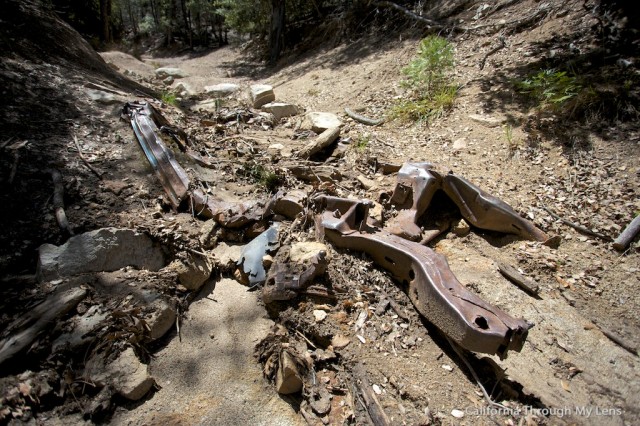
About 3/4 of a mile in, you will pass a car that has melted into the road over the years. We saw no one else on the trail the entire time we were there, which was a nice escape from the city.
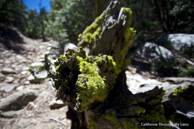
Due mainly to the lack of people, I also saw a few deer and a lot of butterflies on the trail.

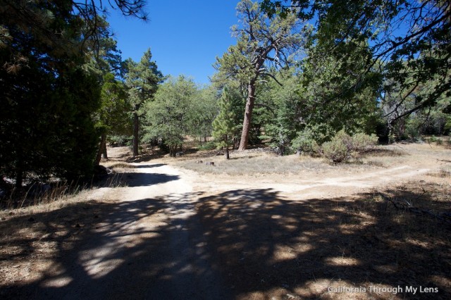
About a mile and a half into the trail, you will reach the four wheel drive road that comes up from the entrance. You can drive up this road if you want to drive to the summit. At this intersection you will want to turn right, you can see the intersection below.
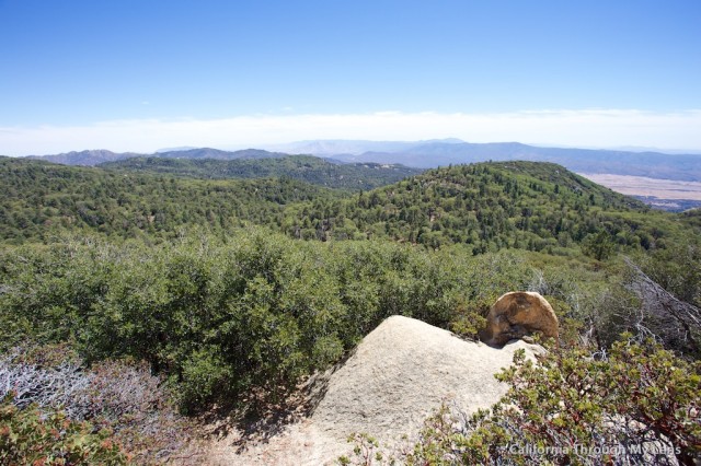
This road will continue through the trees as it proceeds uphill for another half mile and levels off. The road has many spurs and no signs, so it is pretty hard to know if you are going the right way. We kept trying to find a vantage point to see the fire lookout from but were never able to.
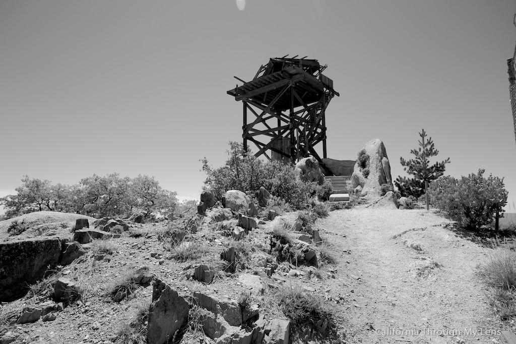
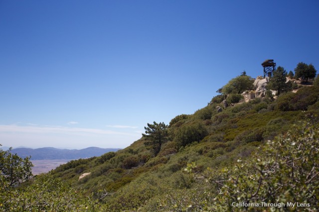
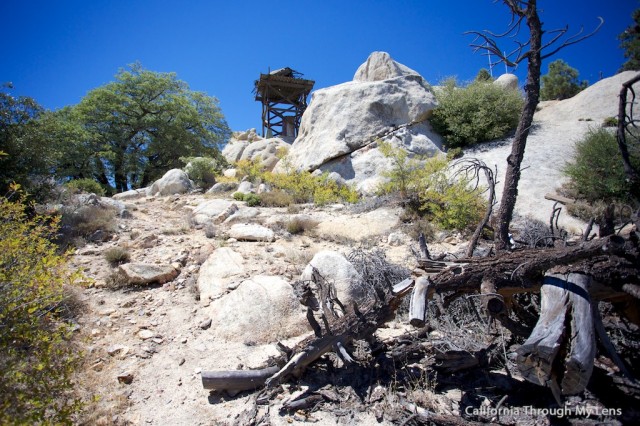
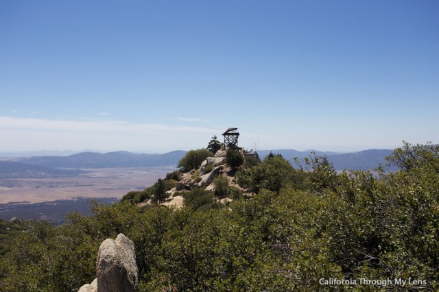
If you just keep following the road as it goes up and down hills, you will finally see the fire lookout in the distance and know you are going the right way.
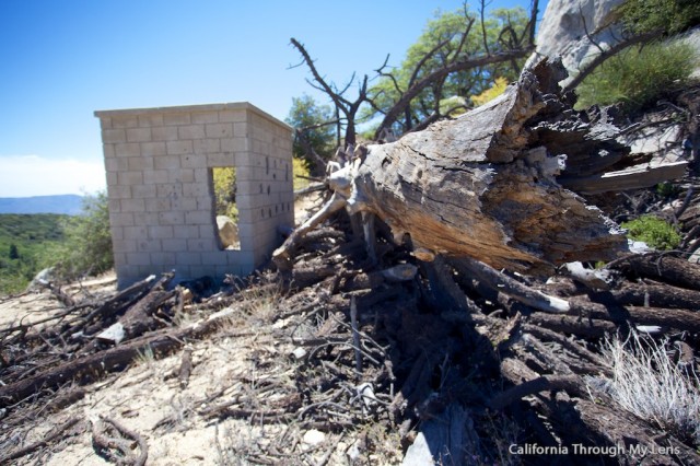
Below the fire lookout is a small broken-down house, which I assume was for the person that manned the lookout years ago. Currently, it is in shambles though with pieces all over the side of the hill.
We explored this area for a little while before heading up the last 50 feet to the fire lookout.
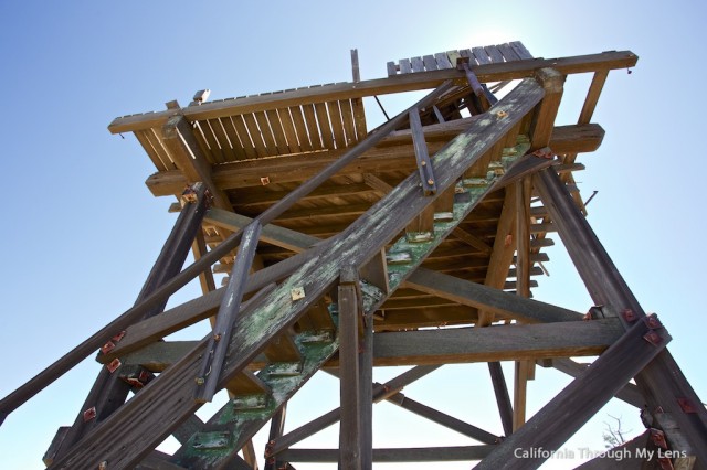
The lookout itself is in pretty poor shape as well, but it is still standing. I would not recommend climbing the stairs as a bunch are missing, and it is very rickety.
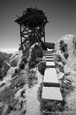
That doesn’t stop it from being an excellent piece of history in these mountains though, and I loved exploring/photographing it.
After soaking in the views, we decided to head over to what we assumed was the summit. Feel free to correct me if this is not the summit as we could not find a USGS Marker, but it seemed to be higher then where we were.
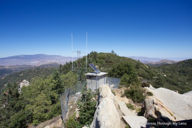
There was a trail, but it mostly consisted of a tenth of a mile bushwhacking before topping out at the small summit. Honestly, this is not a necessary part of the hike as the view from the fire lookout is much better, but it was worth checking it off.
From there, you simply proceed back down the dirt road and back to wherever you decided to park your car. I, for one, appreciated this adventure into a not very popular area of San Diego County. It was a peaceful and beautiful hike with amazing views, and I recommend checking it out for yourself. Just be sure to ask where the trailhead is and grab a map when you pay your $10.