Hiking San Bernardino Peak Trail in Southern California
San Bernardino Peak is the impressive 10,000 foot mountain that looms above the Inland Empire and that many often mistake for San Gorgonio. The hike to San Bernardino Peak is a tough hike that should not be undertaken lightly, but which is worth the training it takes to conquer it. The mountain has some of the most beautiful views in SoCal, and it is much less busy than the other popular peaks, so it provides some excellent solitude as well. Here is all the information if you want to hike it.
Details
- 16.5 Miles
- 4,500 feet of elevation
- Need to train and to bring a good amount of water and food
- Location: Angelus Oaks, here is a link to the trailhead address
- This information was from my hike in 2019
Getting There
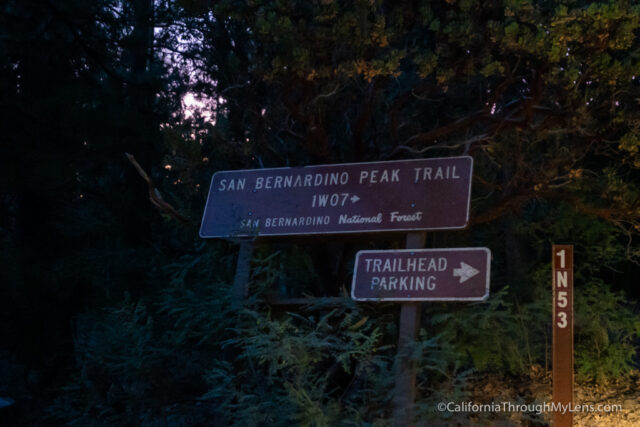
The trailhead is off of Highway 38, which is the road that takes you up to the backside of Big Bear. In the small town of Angelus Oaks, you will look for the fire station and turn right then an immediate left. After a few houses, you will see a sign that directs you onto a rough, high clearance dirt road for a half-mile to the trailhead. Use the above Google Maps address to get to it.
Video
Here is a video I made of the trail if you want to watch it instead of reading this post.
The Trail
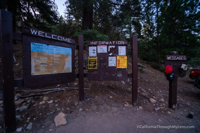
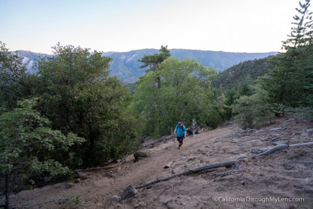
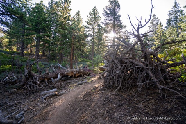
We got on the trail at 6 AM on a Sunday, and there were only two other cars in the parking area. I would recommend starting early as the hike is long, and the sun beats down on you during some sections making an early start much more enjoyable.
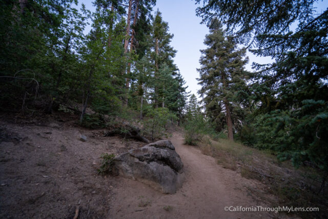
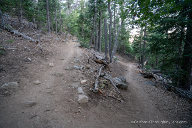
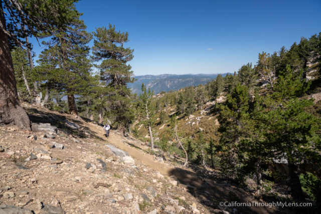
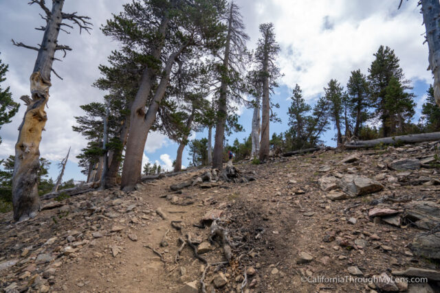
The trail starts gradually, but then quickly begins to climb on a series of switchbacks.
This hike is basically uphill the entire way, so know that going in and be prepared for an uphill grind.
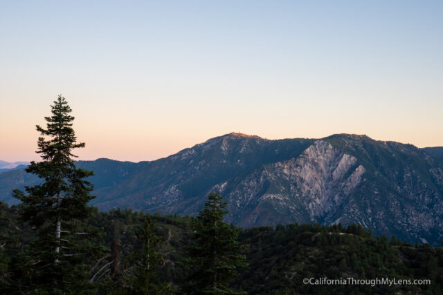
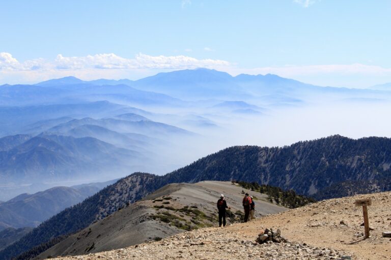
Almost immediately, the views start getting better as you look out over the valley towards the Big Bear area.
We continued to climb as the sun came out, and it was beautiful to see the sunrise while on the trail.
Eventually, the trail bends, and you will see some views down towards the Inland Empire while walking through a nice shaded section.
The trail then comes around, and you finally see the mountain out in the distance, which shows how long you still have to go on this hike.
The trail then gets to the top of the first section of uphill at around the 3.25 mile area.
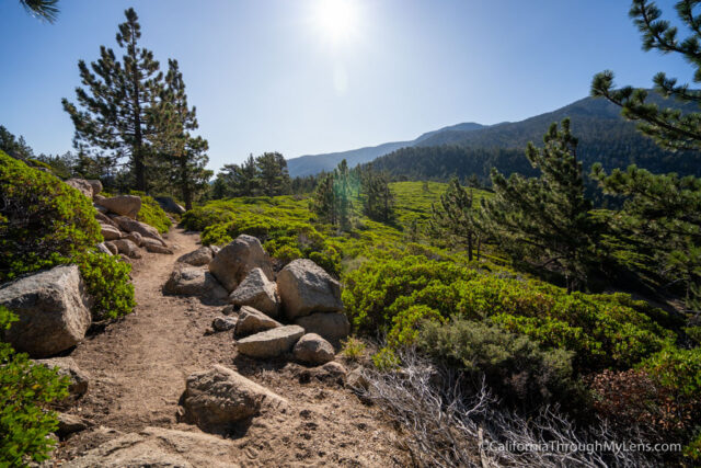
This is where you get to Manzanita Flats, which is a beautiful and welcomed flat section with great views.
Note that the plants are encroaching on the trail here, and you may prefer to wear long pants.
Also, note that there is no shade in this section, and it can be hot.
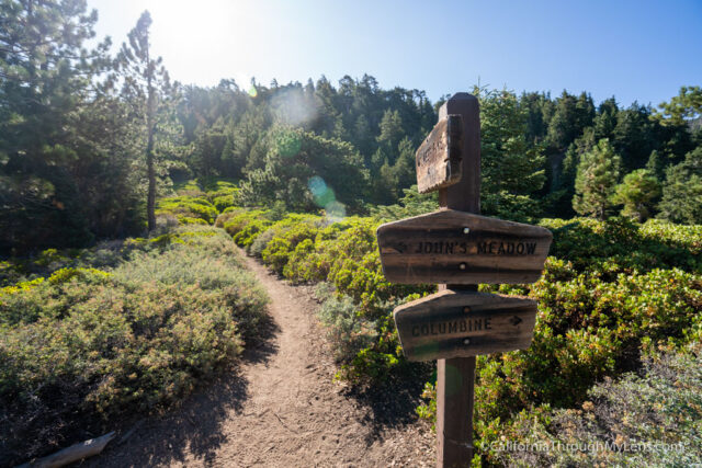
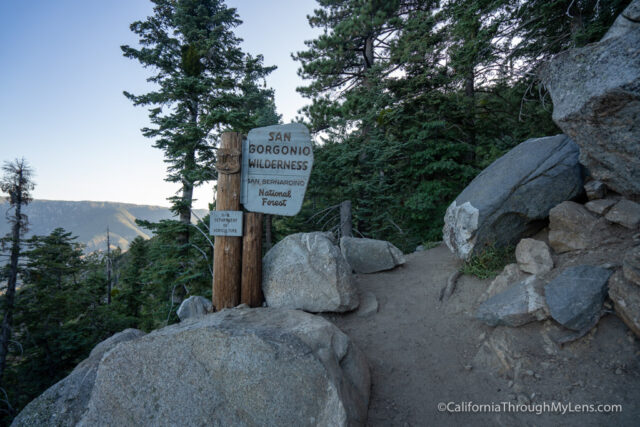
Eventually, you will make it to the trail junction and will follow it towards Limber Pines.
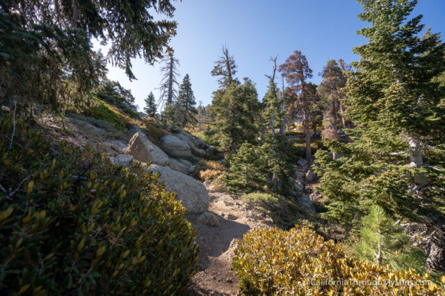
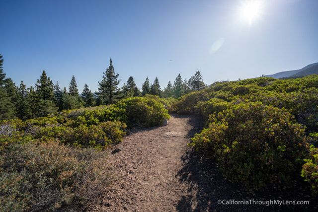
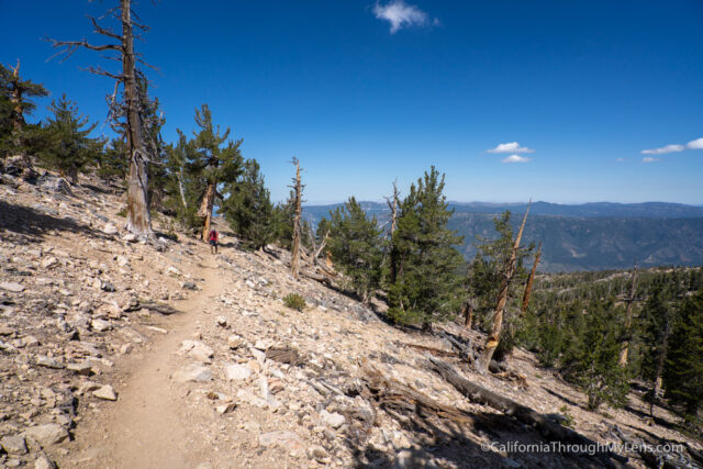
The trail begins going uphill from here, and it does not stop going uphill for the rest of the hike.
The uphill is undoubtedly challenging as the tree cover is more sparse, so there is less shade.
You will eventually make it to Limber Pines Campground, which is a backcountry camping area where many people choose to stay when they do the hike in two days.
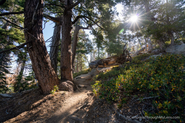
From there, you will continue uphill on more switchbacks, and you will cross the one section of the trail that has a small amount of running water in case you brought your water filter and need more water.
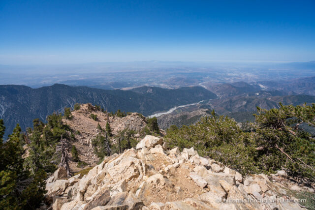
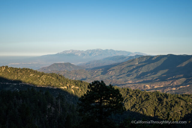
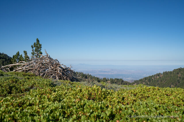
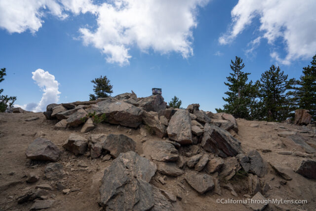
The hike continues to climb before it gets to the best view on the trail, the bench that overlooks the valley.

The bench is nothing more then a large rock stacked on two other stones, but it provides one of the best views in the entire mountain range, and it is worth taking some time to enjoy.
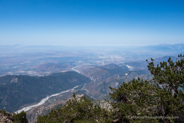
Also, these views are better than the views at the summit since they are not blocked at all so soak them in.
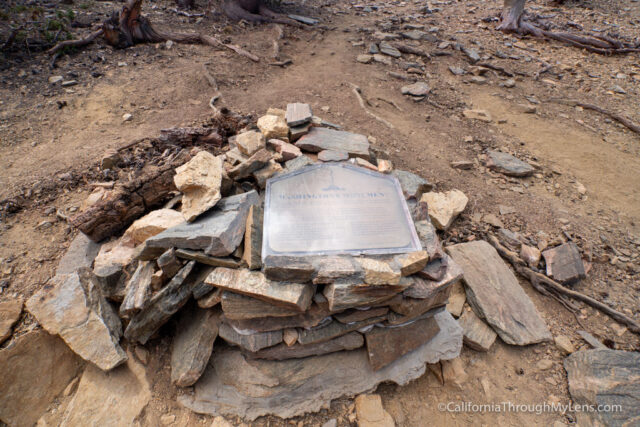
From there, you will be about a half mile from the summit and will cross by the Washington Monument on your way there.

This monument was erected in the 1850s as a survey point from which much of Southern California was laid out. It is refreshing to see something historic like this on the hike.
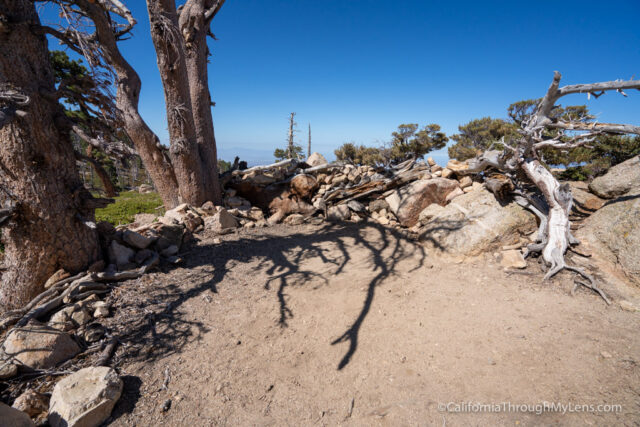
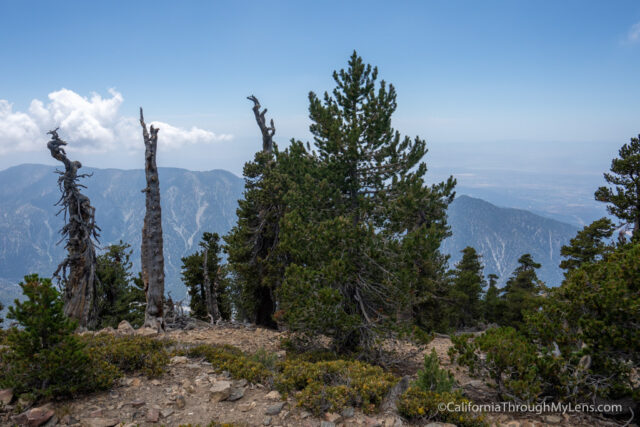
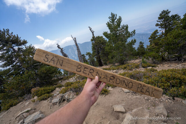
The remaining uphill section feels like it takes forever, but you will eventually make it to the summit of San Bernardino Peak.
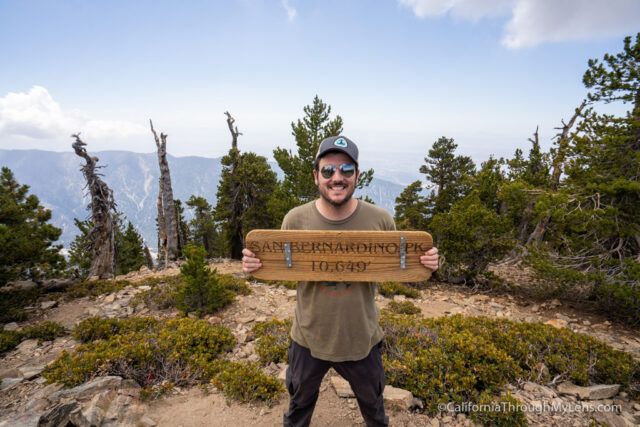
The summit is quite an accomplishment after eight grueling miles, but the views up here are not great since there are a lot of trees.
It is still fun to take pictures with the sign though, and just to sit and relax on the summit.
Remember, it is a tough eight miles back to the car, so save energy for that.
All in all, this is a great southern California hike. I was exhausted after I finished it, but I loved being able to see all of the fantastic views and to get to check this beast off my hiking list. Let me know what you think in the comments.
San Bernardino Peak Divide Trail
Angelus Oaks, California