Hiking Mount Tallac Trail in South Lake Tahoe
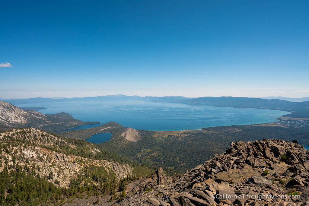
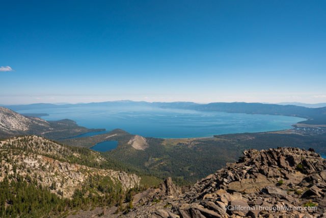
The Lake Tahoe area is full of truly amazing hikes, with the Desolation Wilderness surrounding most of the west side. However, if you are looking for a rite of passage hike in the area, then it would probably have to be the Mount Tallac hike. This 10 mile trail is tough, but the payoff is one of the best views in California looking out over Lake Tahoe. Here is all the information.
Details
- 10 miles
- 3,000 feet of elevation
- Must fill out a free permit at the trailhead
- This information was from my hike in 2019
- You can find all of my favorite spots in South Lake Tahoe here
Getting There
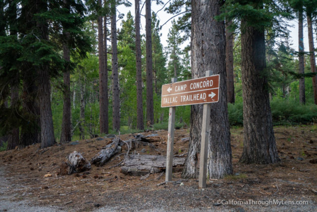
The trailhead is located off Highway 89, a little west of Camp Richardson. It has a sign, so it is hard to miss, and then there are signs that direct you at each of the bends in the road. At the end of the road, there is a small parking lot for about a dozen cars, and if that is full, there are a few spots along the road. Do get here early though, especially on a busy weekend.
Video
Here is a video I made of the hike up Mt Tallac.
The Trail
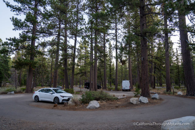
The trail itself is not too long at only 10 miles, but don’t underestimate it as it is tough to get to the top.

The trail begins peacefully with a gradual incline that takes you through a beautiful shaded area.
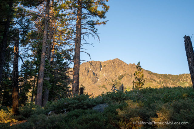
The trail then goes up to a ridgeline that parallels Fallen Leaf Lake, and it is an incredible area to hike.
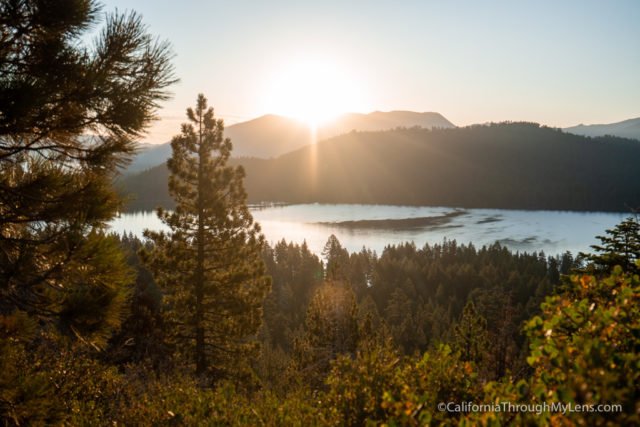
We were lucky to be there when the sun was coming up, so the views over the lake were stunning.

The trail continues pretty flat along this portion as it goes along the ridgeline above the lake.
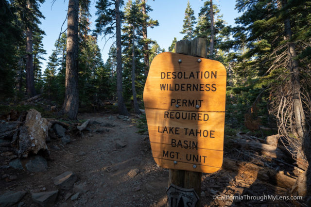
Eventually, you will have to pull yourself away from the lake and head inland, getting some excellent views of Mt Tallac ahead of you.
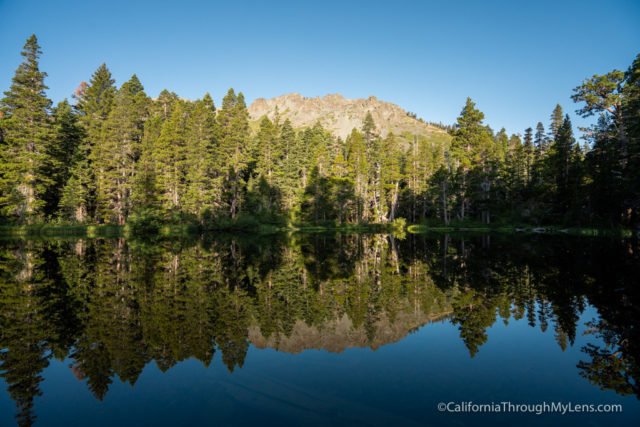
The trail goes through another shaded portion before it gets to Floating Island Lake at about 1.5 miles. This lake was like glass when we got there, and it had great reflections. This is a good turn around point if you are hiking with kids and don’t want to go to the summit as well.

From here, the trail stays inland, and it has lots of shade as you continue the incline.
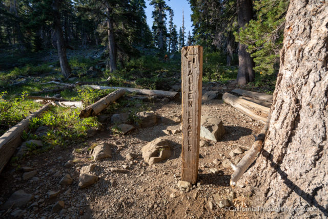
There is a small stream crossing in this section as well, and the start of some stone steps you will be cursing by the end.
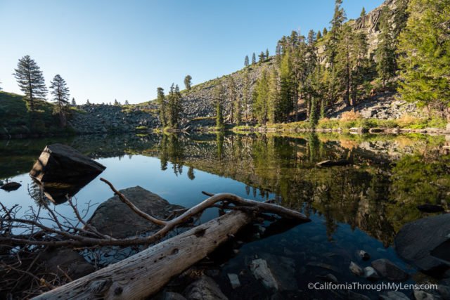
At the 2.5 mile mark, you will get to Cathedral Lake. Cathedral Lake is another amazing lake that is tucked away at the base of a talus field. I would have loved to have spent more time here, but we had to continue on.
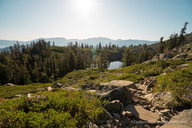
From here, the trail is fierce and pretty relentless with its uphill grind. You do about 1,000 feet of uphill in the first 2.5 miles and 2,000 feet in the second 2.5, so it’s nearly double the grade and steepness.

This is immediately apparent as you start climbing out of the Cathedral Lake area.
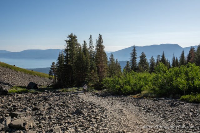
Also, from Cathedral Lake to the notch, you will have minimal shade as well, which makes it tough if you go in the heat of the day.
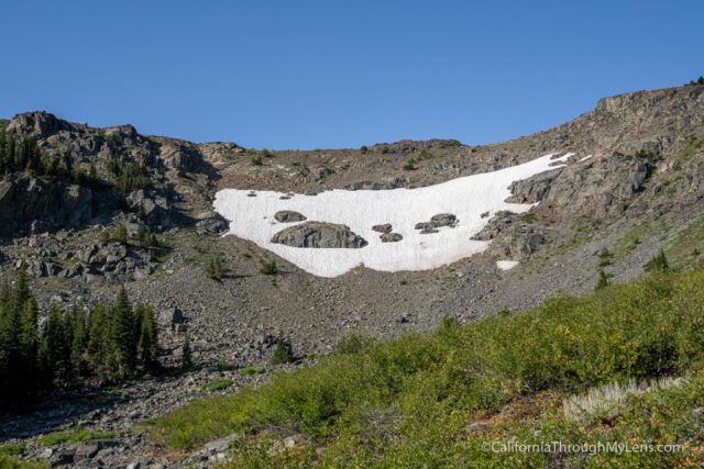
The trail continues up through the last of this section’s shade before dropping you at the base of a large section of loose rock.

This section of the trail gains almost 1,000 feet, and it is a tough push. The rocks are large and uneven, so you have to be looking down most of the time, especially on the way down.

If you do look up though, you will start to see that the views are getting pretty incredible out over Lake Tahoe.
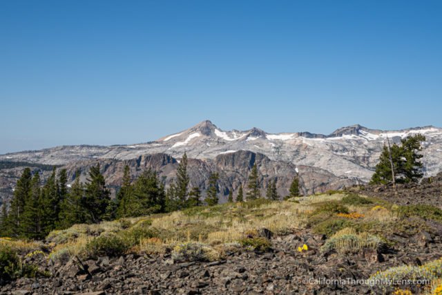
This section was the toughest of the trail, but eventually, you will reach the notch and see the lovely meadow that greets you.

The meadow here is very unexpected, and it has crazy views out over the peaks of the Desolation Wilderness backcountry.
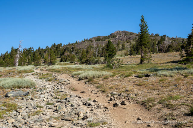
This part of the trail also has shade, which is welcomed after the last push. It is still steep here, but it is much more manageable with the shade, views, and wildflowers.
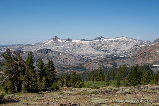
The hike continues through more of the same, but that’s not a bad thing as it is gorgeous. Eventually, you will see the backside of Mt Tallac, so you know your destination and can see that there is more uphill to go.
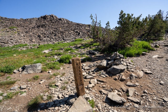
The final push has a steep grade out of the meadow till it ends at a sign for where the Mt Tallac Trail connects with the trail down to Gilmore Lake.
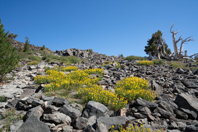
From here, it is basically scrambling on loose talus rock to get to the rocky summit. There are a few parts that have a trail, but mostly it is just going from one rock to the next.

When you finally get to the summit, you will be greeted by one of the best 360-degree views in Tahoe.
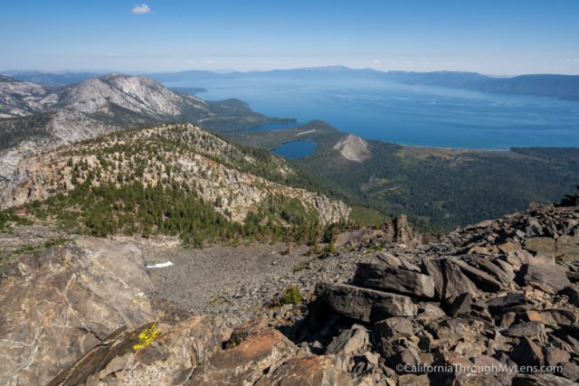
There is no shade, but it is one of those places you will want to spend some time since it is so stunning. We explored and ate our lunch for about 30 min before finally deciding to make our way back down.
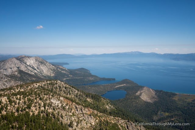
This is a tough hike and one that you don’t want to underestimate. That being said, it is fantastic and one that you really need to do if you like hiking in Lake Tahoe. The views are not something you will soon forget. Let me know if you have been in the comments.

