Santa Ana River Trail: Biking 27 Miles from Yorba Linda to Huntington Beach
The Santa Ana River Trail is a premier biking trail in Southern California that eventually plans to follow the river from its source to the ocean. While the trail is still in progress, you can ride from Yorba Linda all the way to the beach on a 27 mile uninterrupted by stoplights trail. I finally got a chance to do it in 2021, and it was an incredible experience and something that I really recommend. I used an eBike for the journey, but of course, you don’t need an eBike if you are used to riding 27 miles (one way) on a regular bike. Here is all the information on the Santa Ana River Trail.
Details
- The longest uninterrupted section is from Yorba Linda to Huntington Beach.
- 27 miles one way
- Mostly flat but lots of small hills going under the roads
- Trailhead address: 4995 Green River Rd, Corona, CA 92880
Video
Here is a video I made of the Santa Ana River Trail. It is probably the best way to experience this trail, as the written content below is just from memory based on my time on the trail. Check it out, and let me know what you think in the comments!
Getting There
To start the journey, you will want to make your way to Green River Road off the 91 Freeway. You will take Green River Road down to where it turns towards the golf course. That is where the official trailhead and parking area for the trail is. I parked my car here, and my wife brought me back here after doing the trail.
The Santa Ana River Trail
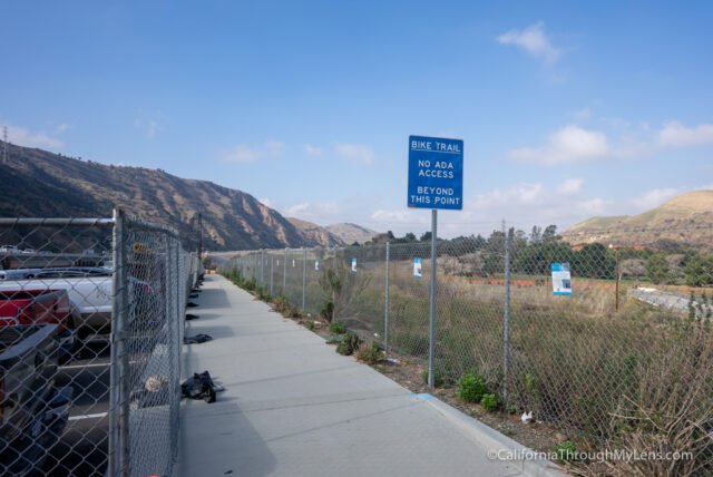
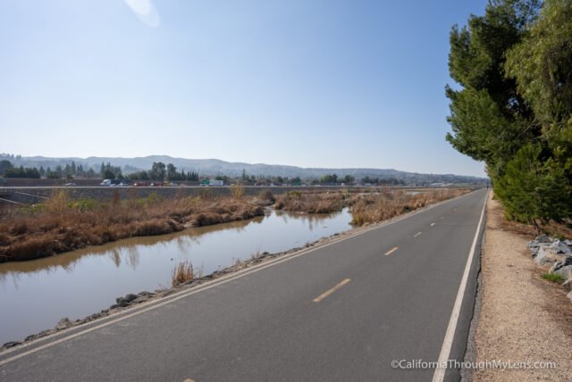
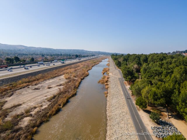
The Santa Ana River Trail is easy to follow as it leaves the parking area on a wide cement two-lane bike trail.
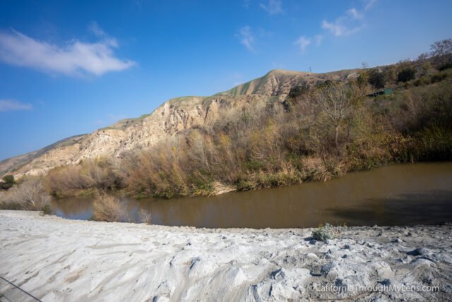
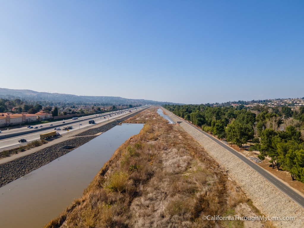
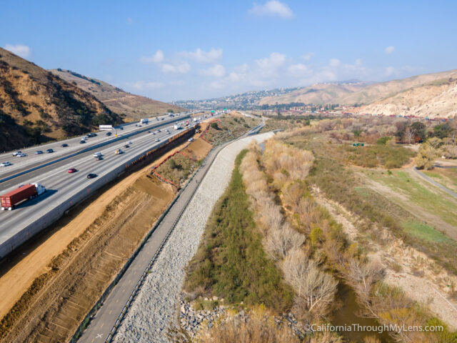
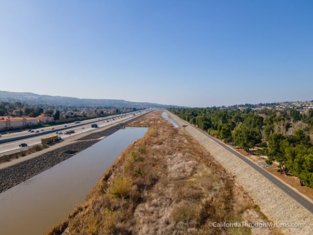
It goes along the freeway here and will be following the freeway for much of the first half. This first section is beautiful since you are riding along a more natural part of the river, which is not the case for most of the ride.
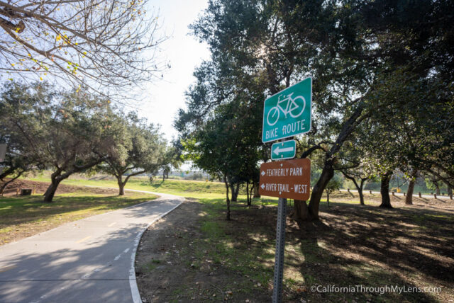
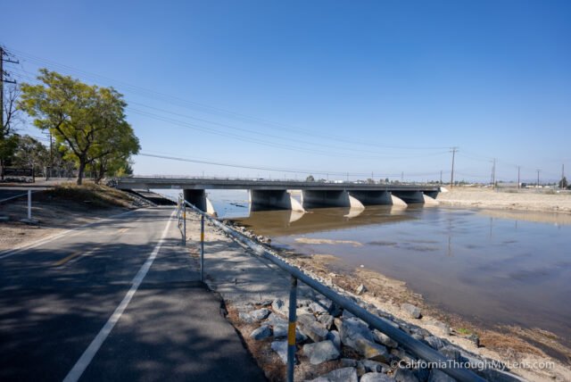
You will then arrive at Featherly Regional Park, and be sure to watch for signs as the trail cuts back and goes up onto a bridge to cross the river.
This next section was under massive construction when I went, so it was just paralleling La Palma Avenue for most of the way.
When it leaves La Palma Ave at Yorba Linda Blvd, the trail enters my favorite section.
This section goes along the outskirts of Yorba Park, and it is stunning.
While the 91 Freeway is on the other side of the river, it is easy to forget about it while you ride along such a stunning park and waterway.
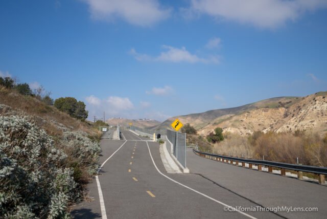
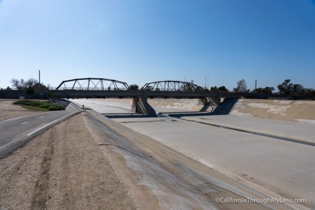
Eventually, you will leave the park and cross over a wooden bridge to the other side of the river.
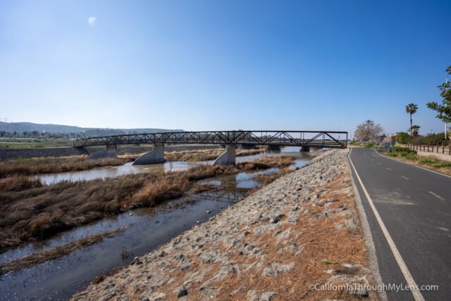
This section is also beautiful as it feels pretty natural as well. There is a biking and walking path here that goes in and out of shade trees. The river had tons of birds and little man-made waterfalls as you go along this section.

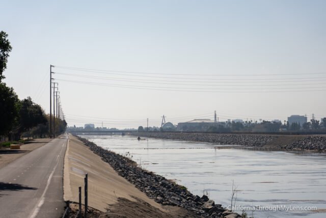
Be sure to cherish this area as it is about to become pretty industrial for the rest of the way to the beach.
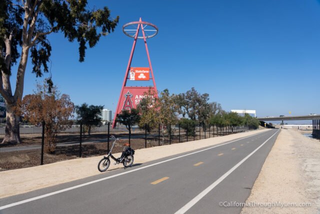
As you turn the next main corner, you will see Angels Stadium out in the distance in front of you.
It is a long ride along the cement river till you get to the Honda Center, Angels Stadium, and the ARTIC Train Station.
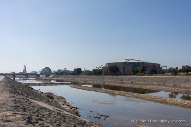
These are three highlights that you will want to look at while you ride by.
From here, the trail passes a fun little park and then heads into the River View Golf Course.

This is where the trail gets a lot more popular, and I saw much more bike traffic in this section.
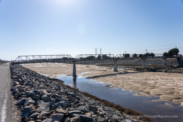
Leaving the golf course is my least favorite section on the ride. This area is like a concrete jungle for the next half dozen or so miles. The river was basically dry here, and it was just a huge concrete channel that you road along.
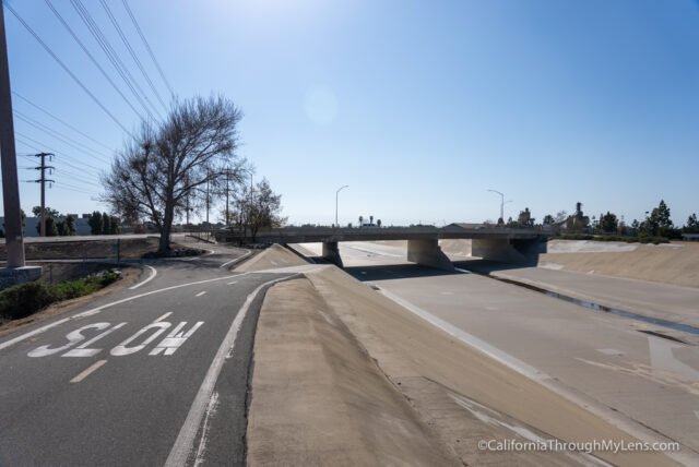
At the end of this section, the trail goes under the 405 freeway and arrives at Moon Park.
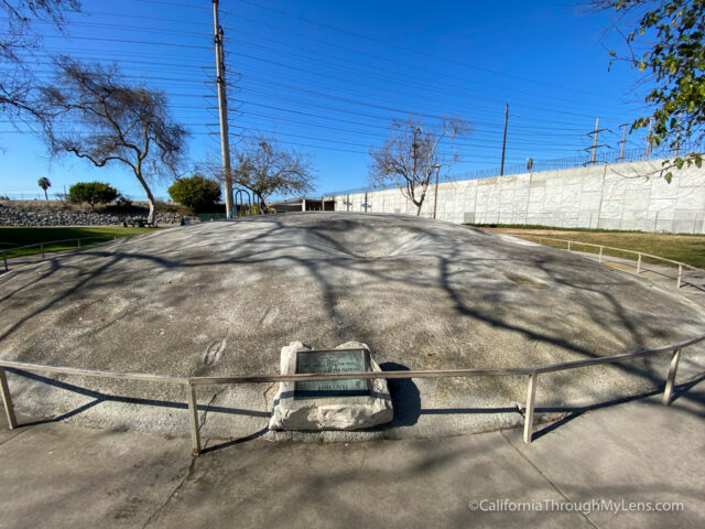
Moon Park is a fun little park with a small replica of the moon’s surface. It is a great stop for families. The last section of this trail from Moon Park to the beach becomes beautiful again.
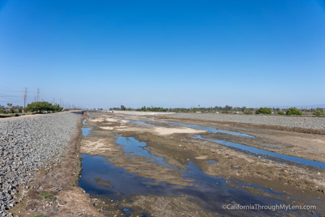
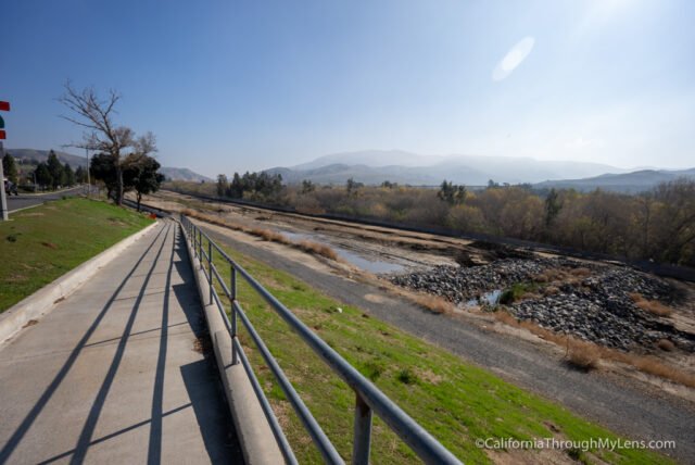
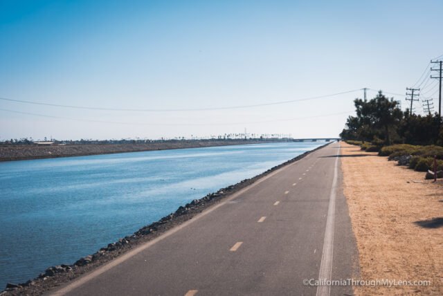
The trail heads up to an elevated pathway that looks down on the river and begins to see the sand that has backed up into the waterway from the ocean. There was a nice wind here and birds flying overhead.
Eventually, the trail crosses its last wooden bridge, and it is a straight shot from here to the beach. These last two miles have you riding along a wide river with beautiful views out towards the ocean.

I was cherishing this section and soaking in the end of a fantastic adventure.
The miles on the path count down here to mile 0, and as you cross under Pacific Coast Highway, you will officially be at the beach.
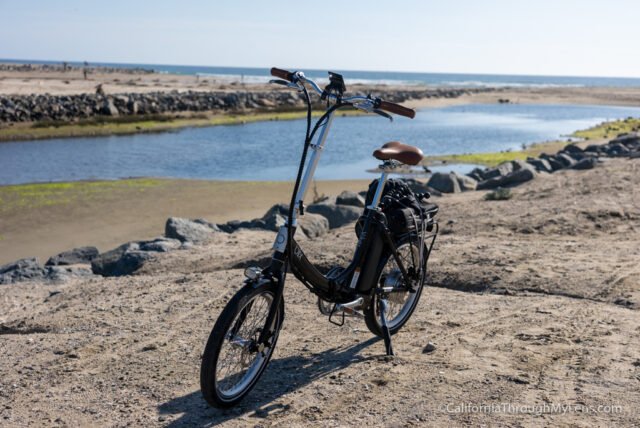
If you don’t have a ride picking you up and taking you back, then you will need to turn around here and drive the 27 miles back. I had my wife pick me up though, so I only had to go one way. This was a fantastic adventure to have in Southern California, and I am sure I will do it again in the future. Check out the video above to see this ride as a video, and let me know what you think in the comments.