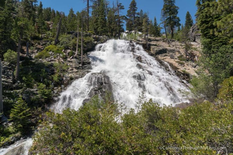
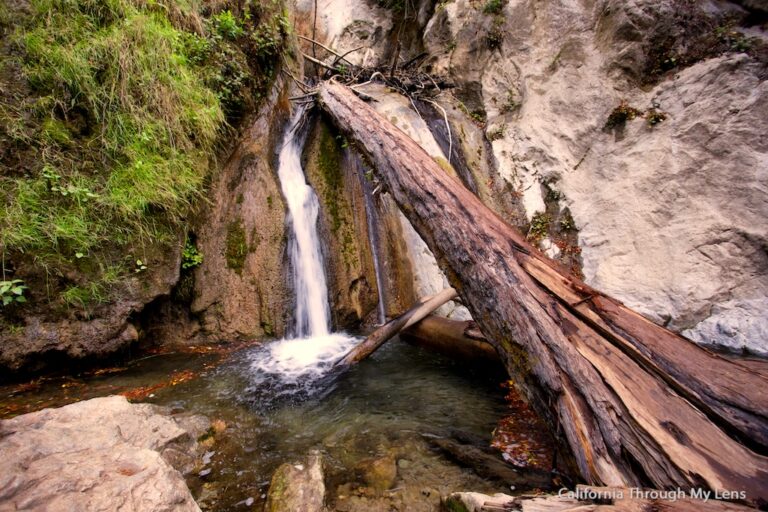
Castle Rock Hike: Big Bear’s Best Vantage Point
At a short two miles round trip, this beautiful hike takes you from the highway running through Big Bear up to a massive collection of granite stones that provide a fantastic vista of one of Southern California’s best mountain towns. It is short but steep and is a great way to see Big Bear from a different point of view. Here is all the information.
Details
- 2 miles round trip
- 600 feet of elevation
- A very small parking area
- Need an Adventure Pass for parking
- I hiked this in 2016 and 2022
Getting There
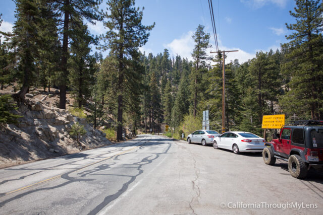
Right around mile marker 45.5, a mile or so past the Big Bear Dam heading towards Big Bear City, the road turns inland making a small U and the trailhead for Castle Rock is right there. There is no parking at the trailhead itself, but about a tenth of a mile up the road, there is a turnout on the lake side that has space for about four cars and is an excellent place to start this hike from. Be warned, if you go on a busy weekend, you may have to park a decent distance away.
The Hike
After proceeding down the road, you will see the sign for Castle Rock, noting that it is one mile away, this is the official trailhead.
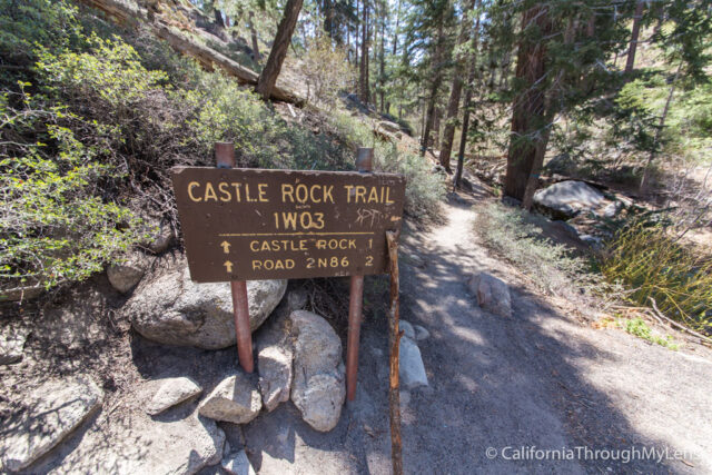
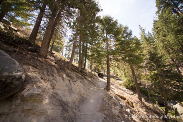
From here, the trail immediately heads up, and while it is relatively easy to follow, there are a few parts where it is hard to tell which way to go. I would recommend grabbing a GPS track to follow so that you don’t go the wrong way.
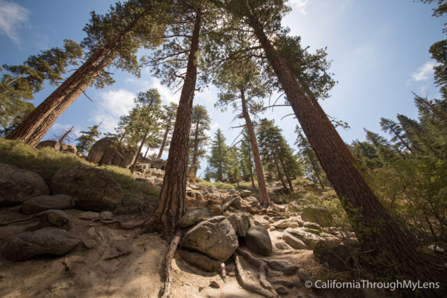
The trail is well shaded and has a lot of giant trees looming over you as you head up. Just take your time and get used to the mountain altitude, and everyone should be able to do it.
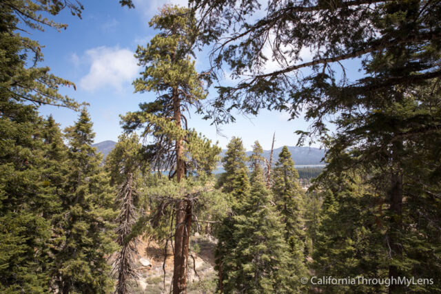
After reaching the top of the first hill, you will get your first view of the lake, barely peeking through the trees.
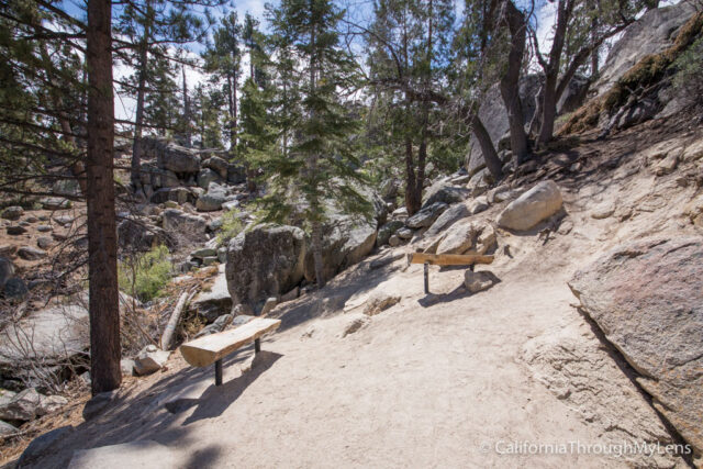
The trail continues to head up till it hits a few benches, which note the halfway point for the trail and is an excellent place to relax if you are tired.
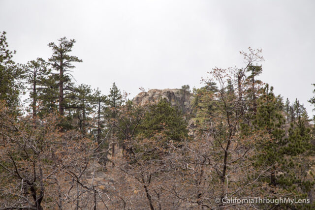
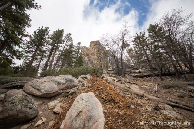
From here, the trail heads into the area where it is not as easy to follow. It is flat with lots of rocks, and there are a few signs, but you just want to continue heading away from the road. You can see the top of the rock peaking over the trees from here, which shows your destination and helps so you don’t get lost.
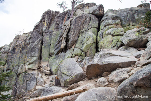
The trail heads around another small hill then takes you to the base of Castle Rock. Initially I tried to head up the backside, which has a lot of scrambling to get to the bottom of the rock.
Once I got up the backside, I could not find a way to get to the top of the rock safely, so I just went and sat on the rock behind it and took in the views.
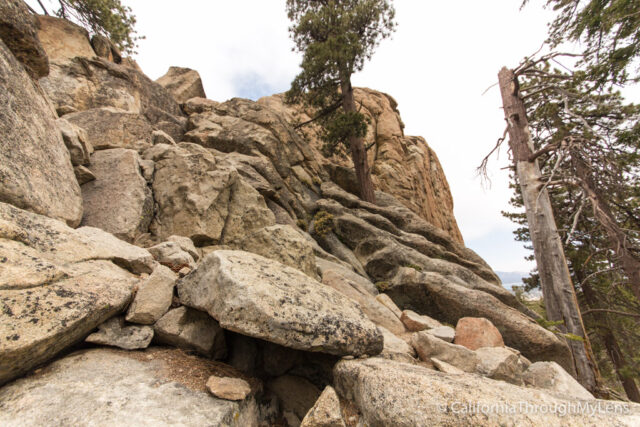
After climbing down the front side, I saw that the best way to get up on top of Castle Rock is on the front side. This requires a good amount of scrambling though and I would not recommend it if you are afraid of heights or nervous with this type of thing.
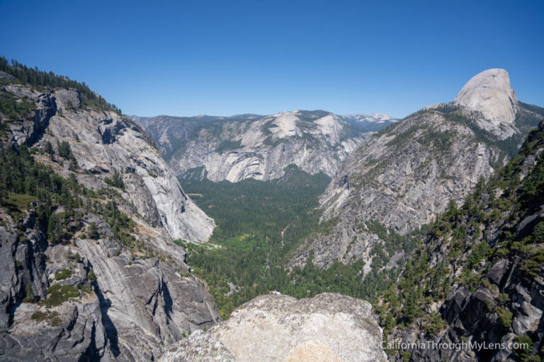
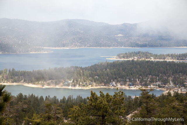
If you do make it to the top, you get a lot of amazing views of the lake and the city below. Even from the backside of the rock, the views are spectacular.
After hanging out up there and taking pictures, I climbed down slowly. It is much sketchier on the way back down, so take your time and be careful.

All in all, this is a great spot to visit in Big Bear. It is uphill enough to get your blood moving but easy enough that almost everyone in the family should be able to do it (minus the scrambling). Let me know in the comments if you have suggestions of other spots to visit in Big Bear as well as I plan to spend more time there in the future.